GTA 6 map
Flight stunts — GTA 6 locations
 Flight stunts — GTA 6 locations
Every known location of this type on the GTA 6 map of Leonida (242 so far). Select a marker on the map, or pick a place from the list below to jump to it.
All locations in this category242
Vice City — Flight stunts61
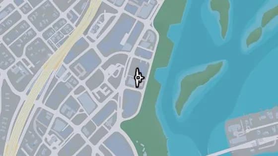
Tidemark Knife Flight
Tidemark Knife Flight is a flight stunt in Bayside, Vice City. Fly between the Tidemark building and the apartments beside it, over an alleyway in central Bayside.
Show on map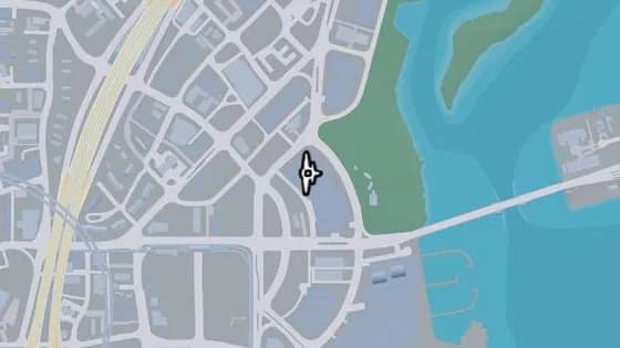
Archipelago Apartments Knife Flight
Archipelago Apartments Knife Flight is a flight stunt in Bayside, Vice City. Fly between the two northern towers of the Archipelago Apartments in southern Bayside.
Show on map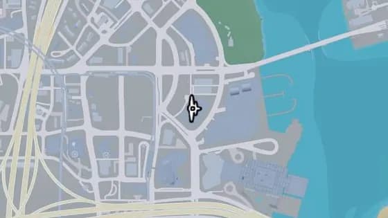
Aida Towers Knife Flight
Aida Towers Knife Flight is a flight stunt in Bayside, Vice City. Fly between the two towers of the Aida Towers building in southern Bayside.
Show on map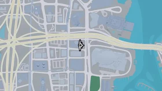
Flora Hotel Knife Flight
Flora Hotel Knife Flight is a flight stunt in Downtown, Vice City. Fly through the opening in the side of the Flora Hotel building, above its logo, across from the Sahara Arena.
Show on map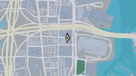
Derwent Towers Knife Flight
Derwent Towers Knife Flight is a flight stunt in Downtown, Vice City. Fly between the Derwent Towers and the Flora Hotel, above NE 7th St in northern Downtown across from the Sahara Arena.
Show on map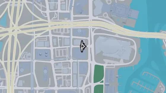
Nauticus Condominiums Knife Flight
Nauticus Condominiums Knife Flight is a flight stunt in Downtown, Vice City. Fly between the Derwent Towers and the Nauticus Condominiums buildings, above NE 6th St in northern Downtown.
Show on map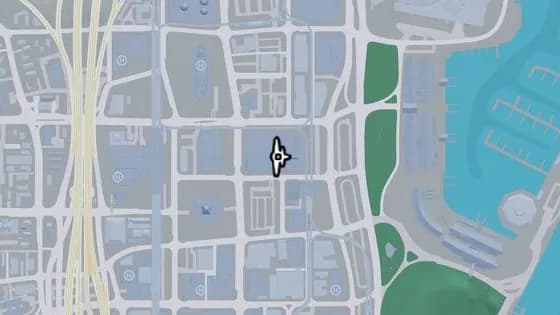
Arcadia Towers Apartments Knife Flight
Arcadia Towers Apartments Knife Flight is a flight stunt in Downtown, Vice City. Fly between the two towers of the Arcadia Towers Apartments in central Downtown.
Show on map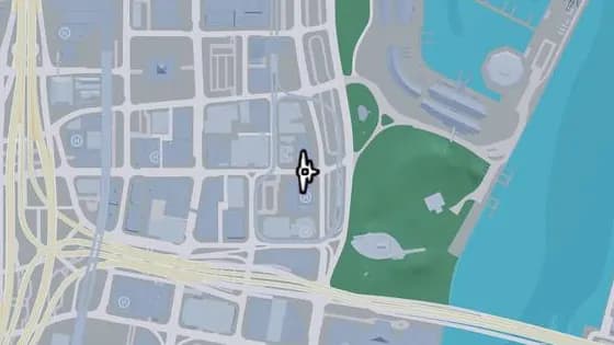
Leonida Point Apartments Knife Flight
Leonida Point Apartments Knife Flight is a flight stunt in Downtown, Vice City. Fly between the buckme building and the Leonida Point Apartments, above East Royale St in central Downtown.
Show on map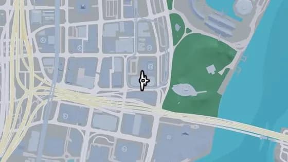
LNB HQ Knife Flight
LNB HQ Knife Flight is a flight stunt in Downtown, Vice City. Fly between the LNB tower and the Megamundo tower on the Sterling Tower building in southern Downtown.
Show on map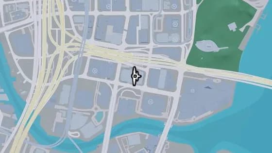
PJ Butlin Baron Knife Flight
PJ Butlin Baron Knife Flight is a flight stunt in Downtown, Vice City. Fly between the two Hobbs Milford Towers, above PJ Butlin Baron in southern Downtown.
Show on map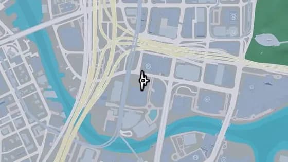
Moon Knife Flight
Moon Knife Flight is a flight stunt in Downtown, Vice City. Fly between the Heath Tower building and the Moon apartments building, over SW 2nd St in southern Downtown.
Show on map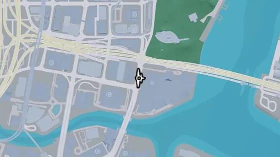
Shorefront HQ Knife Flight
Shorefront HQ Knife Flight is a flight stunt in Downtown, Vice City. Fly between the ShoreFront building and the Pike Financial Center, above Catalan Blvd in southern Downtown.
Show on map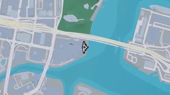
The Clarissa Hotel North Knife Flight
The Clarissa Hotel North Knife Flight is a flight stunt in Downtown, Vice City. Fly between the southeastern and northeastern towers of the Clarissa Hotel in southern Downtown.
Show on map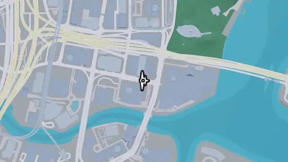
Rico Huxley Hotels Knife Flight
Rico Huxley Hotels Knife Flight is a flight stunt in Downtown, Vice City. Fly between the Pike Financial Center building and the Rico Huxley Hotel, over SE 2nd Ave in southern Downtown.
Show on map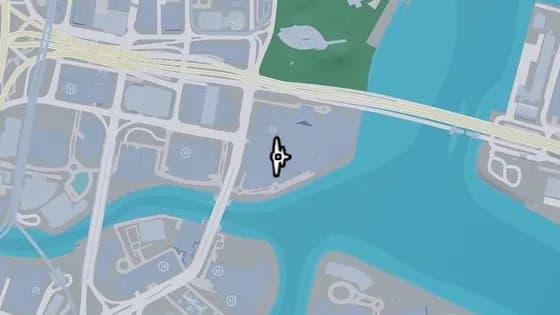
The Clarissa Hotel East Knife Flight
The Clarissa Hotel East Knife Flight is a flight stunt in Downtown, Vice City. Fly between the southern tower of the Clarissa Hotel and the ShoreFront building in southern Downtown.
Show on map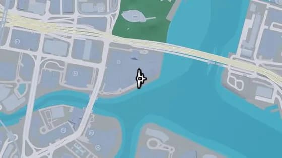
The Clarissa Hotel South Knife Flight
The Clarissa Hotel South Knife Flight is a flight stunt in Downtown, Vice City. Fly between the southeastern and southwestern towers of the Clarissa Hotel in southern Downtown.
Show on map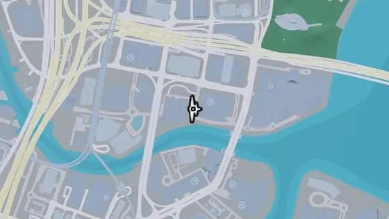
Knife Flight: BAM1 Condominiums
Knife Flight: BAM1 Condominiums is a flight stunt in Downtown, Vice City. Fly between the Rico Huxley Hotels building and the BAM1 Condominiums, above SE 3rd St in southern Downtown.
Show on map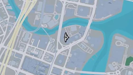
Tequesta on the Water Apartments Knife Flight
Tequesta on the Water Apartments Knife Flight is a flight stunt in Tequesta, Vice City. Fly between the two towers of the Tequesta on the Water Apartments building, over the construction site in northern Tequesta.
Show on map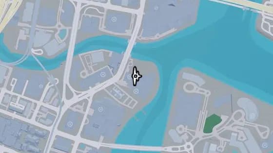
Tequesta Tides Hotel & Spa North Knife Flight
Tequesta Tides Hotel & Spa North Knife Flight is a flight stunt in Tequesta, Vice City. Fly between the central and northern towers of the Tequesta Tides Hotel & Spa building in northeastern Tequesta.
Show on map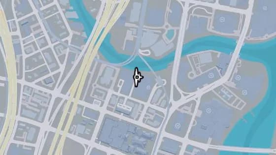
Neo Paloma Apartments Knife Flight
Neo Paloma Apartments Knife Flight is a flight stunt in Tequesta, Vice City. Fly between the Neo Paloma Apartments and the Temple Parks Offices buildings in northern Tequesta.
Show on map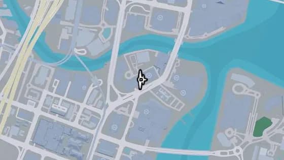
Knife Flight: Aurum Condominiums
Knife Flight: Aurum Condominiums is a flight stunt in Tequesta, Vice City. Fly through the opening in the middle of the Aurum Condominiums building in northeastern Tequesta.
Show on map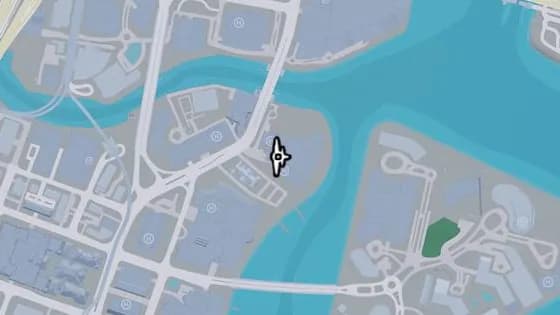
Tequesta Tides Hotel & Spa South Knife Flight
Tequesta Tides Hotel & Spa South Knife Flight is a flight stunt in Tequesta, Vice City. Fly between the central and southern towers of the Tequesta Tides Hotel & Spa building in northeastern Tequesta.
Show on map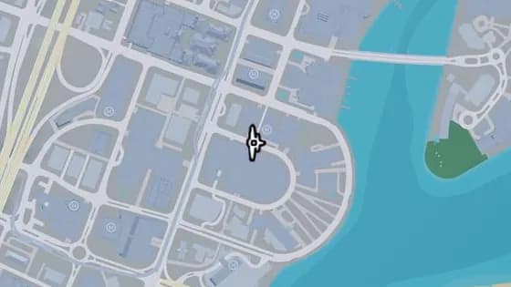
One Stracathro Tower Knife Flight
One Stracathro Tower Knife Flight is a flight stunt in Tequesta, Vice City. Fly between the One Stracathro Tower building and the Penny Haus building, over Yucatan Ct.
Show on map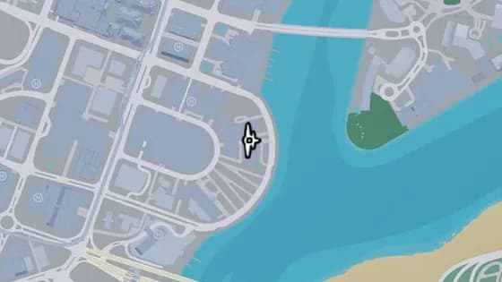
Dock of the Bay Condominiums Knife Flights
Dock of the Bay Condominiums Knife Flights is a flight stunt in Tequesta, Vice City. Fly between the two condominium buildings on the waterfront in eastern Tequesta.
Show on map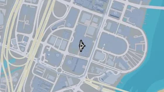
Grand Majestic Aparthotel Knife Flight
Grand Majestic Aparthotel Knife Flight is a flight stunt in Tequesta, Vice City. Fly between the Grand Majestic and the International Online Unlimited buildings in southern Tequesta.
Show on map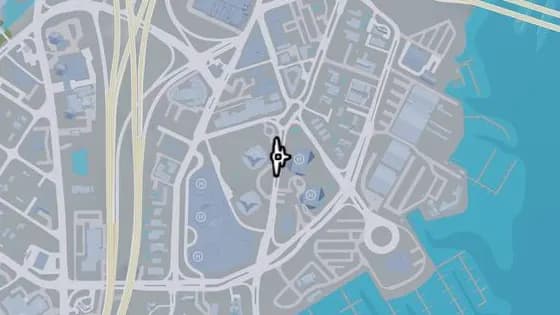
The Fitz-Gerald North Knife Flight
The Fitz-Gerald North Knife Flight is a flight stunt in Peacock Bay, Vice City. Fly between the Fitz-Gerald building and the northern Peacock Bay Luxury Condominiums tower, above South Vice Ave.
Show on map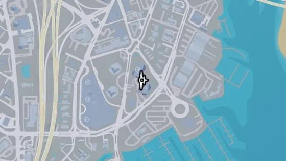
Peacock Bay Luxury Condominiums East Knife Flight
Peacock Bay Luxury Condominiums East Knife Flight is a flight stunt in Peacock Bay, Vice City. Fly between the two eastern towers of the Peacock Bay Luxury Condominiums building.
Show on map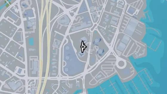
The Fitz-Gerald Knife Flight
The Fitz-Gerald Knife Flight is a flight stunt in Peacock Bay, Vice City. Fly between the two towers of the Fitz-Gerald building.
Show on map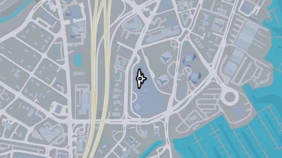
Peacock Bay Luxury Condominiums North Knife Flight
Peacock Bay Luxury Condominiums North Knife Flight is a flight stunt in Peacock Bay, Vice City. Fly between the two northern towers of the Peacock Bay Luxury Condominiums building.
Show on map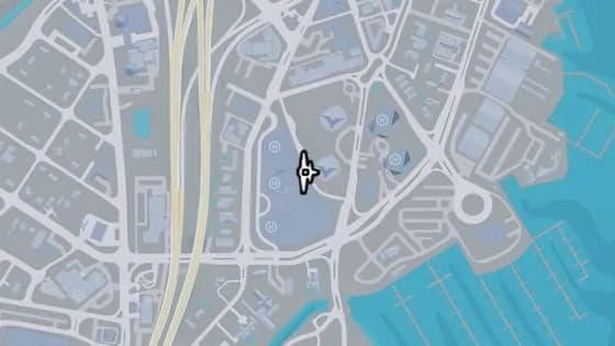
The Fitz-Gerald South Knife Flight
The Fitz-Gerald South Knife Flight is a flight stunt in Peacock Bay, Vice City. Fly between the southern Fitz-Gerald tower and the middle Peacock Bay Luxury Condominiums building.
Show on map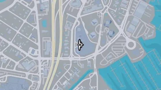
Peacock Bay Luxury Condominiums South Knife Flight
Peacock Bay Luxury Condominiums South Knife Flight is a flight stunt in Peacock Bay, Vice City. Fly between the two southern towers of the Peacock Bay Luxury Condominiums building.
Show on map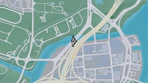
Under the Bridge: Del Rio Boulevard
Under the Bridge: Del Rio Boulevard is a flight stunt in La Perle, Vice City. Fly under the bridge over the canal that links La Perle and Belville.
Show on map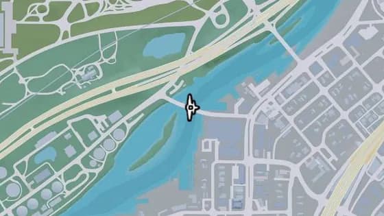
S-17 Canal Drawbridge South
S-17 Canal Drawbridge South is a flight stunt in Balsero, Vice City. Fly under the bridge over the canal that links Balsero and La Perle.
Show on map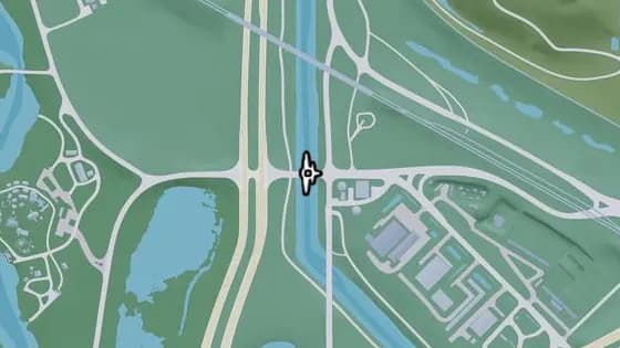
Under the Bridge: Leonida Canal Southwest
Under the Bridge: Leonida Canal Southwest is a flight stunt in Balsero, Vice City. Fly under the bridge that carries Cargo Rd over the canal between Balsero and Emerald Springs.
Show on map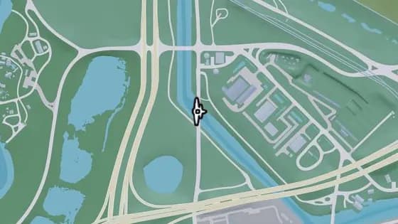
Under the Bridge: Leonida Canal Southeast
Under the Bridge: Leonida Canal Southeast is a flight stunt in Balsero, Vice City. Fly under the bridge that carries SR-25 over the canal.
Show on map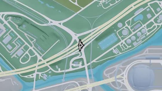
Under the Bridge: Balsero Overpass East
Under the Bridge: Balsero Overpass East is a flight stunt in Balsero, Vice City. Fly under the bridge that carries US-10 over SR-25 between Balsero and South Leonard County.
Show on map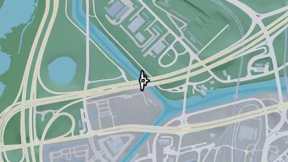
Under the Bridge: Leonida Power and Light
Under the Bridge: Leonida Power and Light is a flight stunt in Balsero, Vice City. Fly under the bridge that carries US-10 over the canal.
Show on map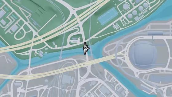
Under the Bridge: RON Gas - Balsero
Under the Bridge: RON Gas - Balsero is a flight stunt in Balsero, Vice City. Fly under the bridge that carries SR-25 over the canal.
Show on map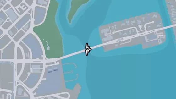
Rivo Bridge
Rivo Bridge is a flight stunt in Bayside, Vice City. Fly under the bridge over the water that links Catalan Island and Bayside.
Show on map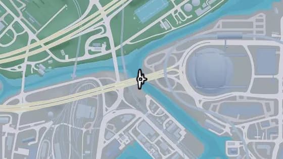
Under the Bridge: Fleeca Field Stadium
Under the Bridge: Fleeca Field Stadium is a flight stunt in Balsero, Vice City. Fly under the bridge over the canal that links Balsero and Rockridge, near the stadium.
Show on map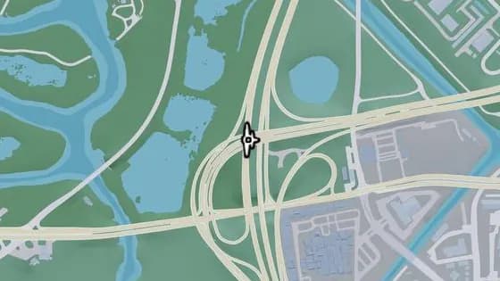
Under the Bridge: Balsero Overpass North
Under the Bridge: Balsero Overpass North is a flight stunt in Balsero, Vice City. Fly under the bridge over US-35 that connects US-10 to US-35.
Show on map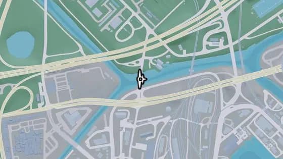
S-17 Canal Swing Bridge
S-17 Canal Swing Bridge is a flight stunt in Balsero, Vice City. Fly under the bridge that carries NW 27th St over the canal.
Show on map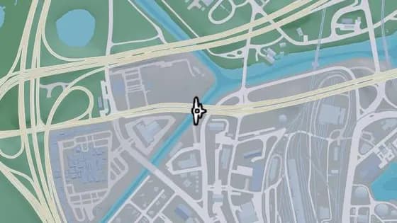
Under the Bridge: Omega Parkway
Under the Bridge: Omega Parkway is a flight stunt in Balsero, Vice City. Fly under the bridge that carries Omega Pkwy over the river.
Show on map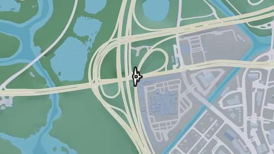
Under the Bridge: Tisha-Wocka Flea Market East
Under the Bridge: Tisha-Wocka Flea Market East is a flight stunt in Balsero, Vice City. Fly under the bridge that carries US-35 over Omega Pkwy.
Show on map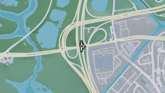
Under the Bridge: Tisha-Wocka Flea Market Central
Under the Bridge: Tisha-Wocka Flea Market Central is a flight stunt in Balsero, Vice City. Fly under the bridge that carries US-35 over Omega Pkwy.
Show on map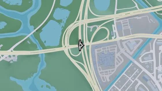
Under the Bridge: Tisha-Wocka Flea Market West
Under the Bridge: Tisha-Wocka Flea Market West is a flight stunt in Balsero, Vice City. Fly under the bridge that carries US-35 over Omega Pkwy.
Show on map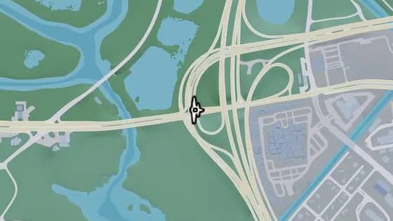
Under the Bridge: Balsero Overpass Central
Under the Bridge: Balsero Overpass Central is a flight stunt in Balsero, Vice City. Fly under the bridge that carries the ramp from US-10 to US-35 over Omega Pkwy, between Balsero and Buckskin Swamp.
Show on map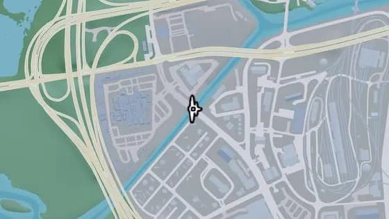
Under the Bridge: Leonida Auto World
Under the Bridge: Leonida Auto World is a flight stunt in Balsero, Vice City. Fly under the bridge that carries SR-25 over the river.
Show on map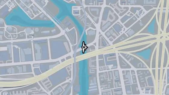
Under the Bridge: Vice River North
Under the Bridge: Vice River North is a flight stunt in Balsero, Vice City. Fly under the bridge over the canal that links Balsero and Rockridge.
Show on map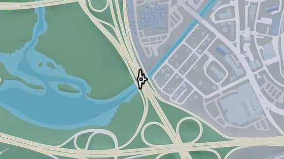
Tisha-Wocka Flea Market Bridge
Tisha-Wocka Flea Market Bridge is a flight stunt in Balsero, Vice City. Fly under the bridge that carries US-35 over the river.
Show on map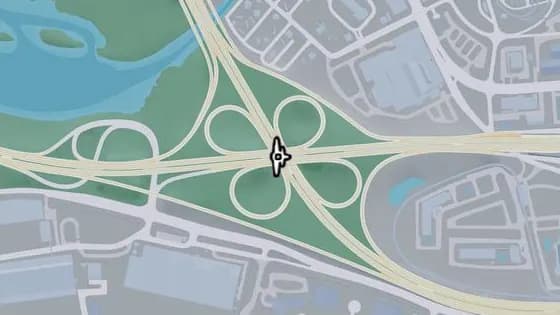
Under the Bridge: Salton Overpass
Under the Bridge: Salton Overpass is a flight stunt in Salton, Vice City. Fly under the bridge that carries I-404 over US-35.
Show on map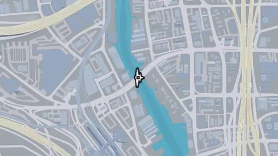
Under the Bridge: Vice River South
Under the Bridge: Vice River South is a flight stunt in Salton, Vice City. Fly under the bridge over the canal that links Salton and Little Cuba.
Show on map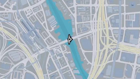
Under the Bridge: West Royale Street
Under the Bridge: West Royale Street is a flight stunt in Salton, Vice City. Fly under the bridge over the canal that links Salton and Little Cuba.
Show on map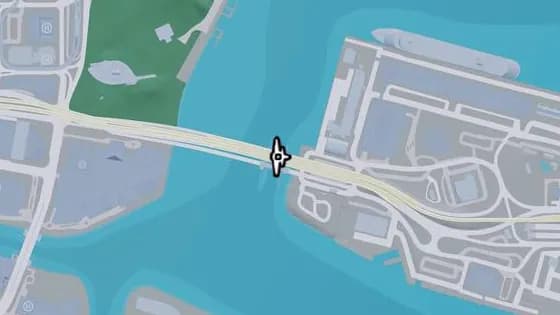
Port VC Bridge
Port VC Bridge is a flight stunt in Port VC, Vice City. Fly under the bridge over Catalan Bay that links Port Vice City and Downtown.
Show on map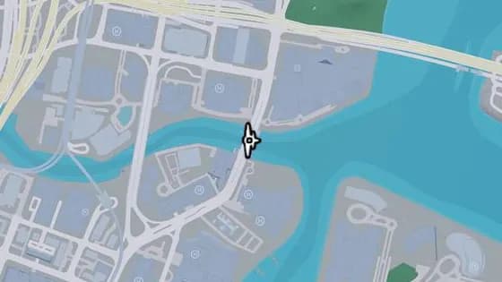
Under the Bridge: Downtown Southeast
Under the Bridge: Downtown Southeast is a flight stunt in Tequesta, Vice City. Fly under the bridge over the canal that links Tequesta and Downtown.
Show on map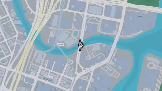
Under the Bridge: Downtown Southwest
Under the Bridge: Downtown Southwest is a flight stunt in Tequesta, Vice City. Fly under the bridge over the canal that links Tequesta and Downtown.
Show on map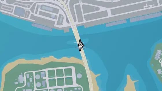
Under the Bridge: Gloriana Key North
Under the Bridge: Gloriana Key North is a flight stunt in Gloriana Key, Vice City. Fly under the bridge over Catalan Bay that links Port Vice City and Gloriana Key.
Show on map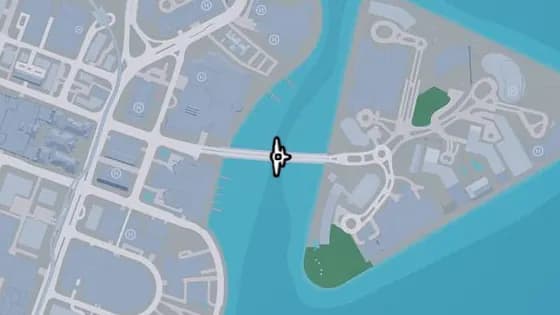
Tequesta Bridge
Tequesta Bridge is a flight stunt in Tequesta, Vice City. Fly under the bridge over Catalan Bay that links Tequesta and Tequesta Retreat.
Show on map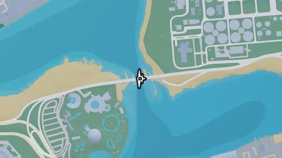
Under the Bridge: Catalan Key East
Under the Bridge: Catalan Key East is a flight stunt in Gloriana Key, Vice City. Fly under the bridge over Catalan Bay that links Catalan Key and Gloriana Key.
Show on map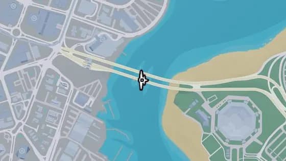
Under the Bridge: Catalan Key West
Under the Bridge: Catalan Key West is a flight stunt in Peacock Bay, Vice City. Fly under the bridge over Catalan Bay that links Catalan Key and Peacock Bay.
Show on map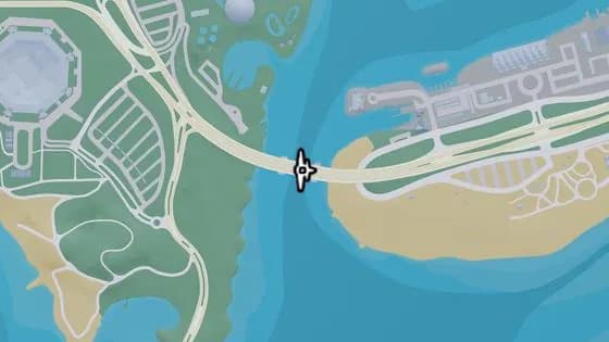
Under the Bridge: Gloriana Key West
Under the Bridge: Gloriana Key West is a flight stunt in Gloriana Key, Vice City. Fly under the bridge over the ocean that links Gloriana Key and Catalan Key.
Show on map
Vice Beach — Flight stunts26
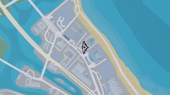
Brandy Carmine Knife Flight
Brandy Carmine Knife Flight is a flight stunt in Washington Beach, Vice Beach. Fly between the two towers of the Brandy Carmine building in northern Washington Beach.
Show on map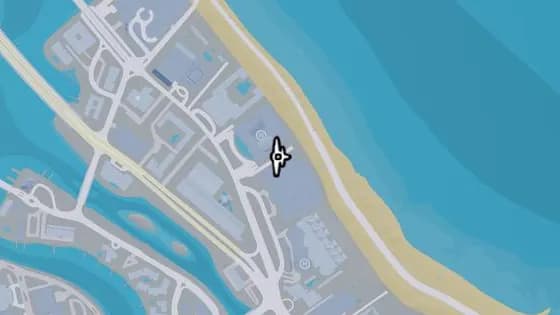
Maison Estaque Knife Flight
Maison Estaque Knife Flight is a flight stunt in Washington Beach, Vice Beach. Fly between the Maison Estaque and the Crimson Palms Condominiums in northern Vice Beach.
Show on map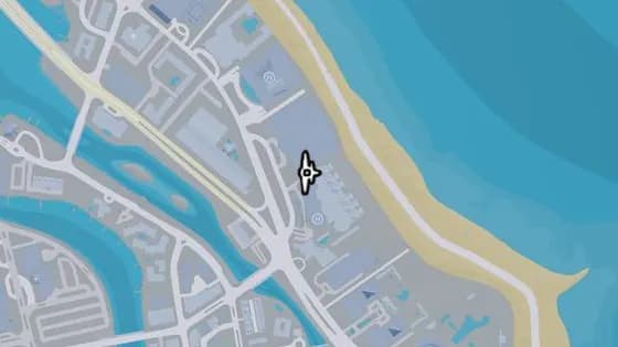
The Wash Haus Knife Flight
The Wash Haus Knife Flight is a flight stunt in Washington Beach, Vice Beach. Fly between the Maison Estaque and the Wash Haus buildings in northern Vice Beach.
Show on map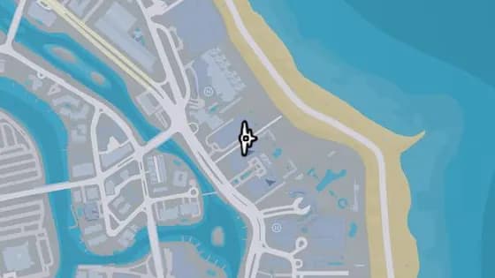
Jia Luxury Condos Knife Flight
Jia Luxury Condos Knife Flight is a flight stunt in Washington Beach, Vice Beach. Fly between the Jia Luxury Condos building and the Zaffre tower, above the road in northern Vice Beach.
Show on map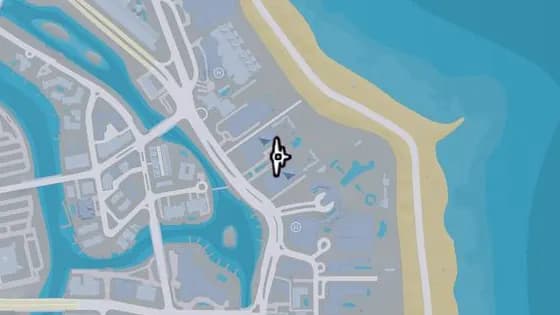
The Zaffre Knife Flight
The Zaffre Knife Flight is a flight stunt in Washington Beach, Vice Beach. Fly between the two towers of the Zaffre resort in northern Vice Beach.
Show on map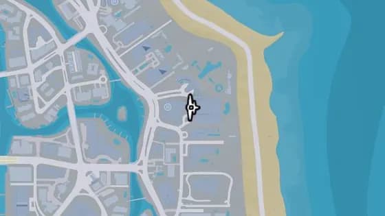
Lampedusa Knife Flight
Lampedusa Knife Flight is a flight stunt in Washington Beach, Vice Beach. Fly between the two buildings of the Lampedusa resort in northern Vice Beach.
Show on map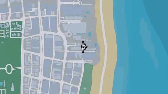
The Amalfi Knife Flight
The Amalfi Knife Flight is a flight stunt in Ocean Beach, Vice Beach. Fly between the Amalfi tower and the building next to it, over the narrow alleyway in northeastern Ocean Beach.
Show on map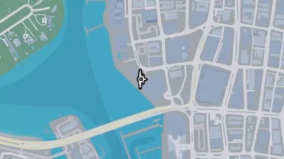
Harrison Harbor Knife Flight
Harrison Harbor Knife Flight is a flight stunt in Ocean Beach, Vice Beach. Fly between the two towers of the Harrison Harbor building in western Ocean Beach.
Show on map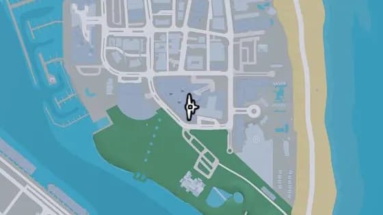
Positano Towers Knife Flight
Positano Towers Knife Flight is a flight stunt in Ocean Beach, Vice Beach. Fly between the two buildings of Positano Towers in southern Vice Beach.
Show on map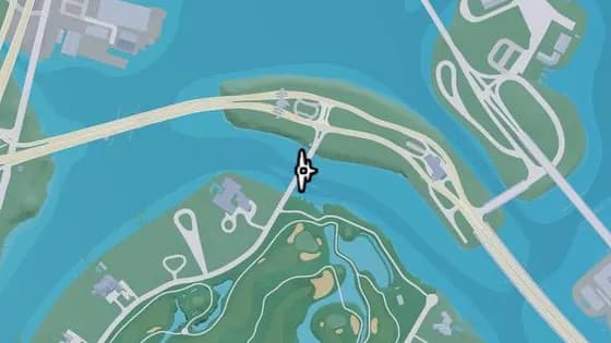
Delamore Bridge
Delamore Bridge is a flight stunt in Atlantic Island, Vice Beach. Fly under the bridge over the river that links the Leaf Links and Atlantic Island.
Show on map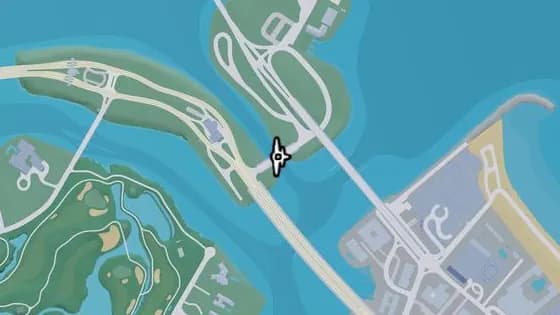
Under the Bridge: Tidal Avenue
Under the Bridge: Tidal Avenue is a flight stunt in Flamingo Island, Vice Beach. Fly under the bridge over the water that links Atlantic Island and Flamingo Island.
Show on map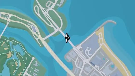
Under the Bridge: Flamingo Parkway South
Under the Bridge: Flamingo Parkway South is a flight stunt in Flamingo Island, Vice Beach. Fly under the bridge over the ocean that links Flamingo Island and Washington Beach.
Show on map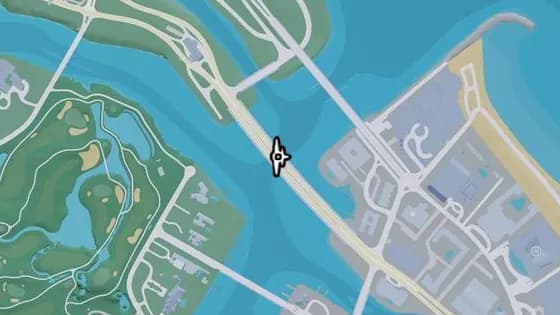
Under the Bridge: Atlantic Avenue
Under the Bridge: Atlantic Avenue is a flight stunt in Atlantic Island, Vice Beach. Fly under the bridge over the river that links Atlantic Island and Washington Beach.
Show on map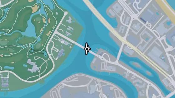
Oleander Bridge
Oleander Bridge is a flight stunt in Leaf Links, Vice Beach. Fly under the bridge over the river that links Washington Island and the Leaf Links.
Show on map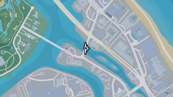
Under the Bridge: Mariposa Avenue
Under the Bridge: Mariposa Avenue is a flight stunt in Washington Beach, Vice Beach. Fly under the bridge over the river that links Washington Island and Washington Beach.
Show on map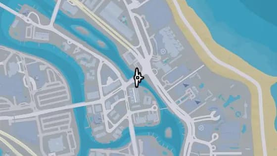
Under the Bridge: Vineyard Drive East
Under the Bridge: Vineyard Drive East is a flight stunt in Washington Beach, Vice Beach. Fly under the bridge that carries Vineyard Dr over the canal between Washington Island and Washington Beach.
Show on map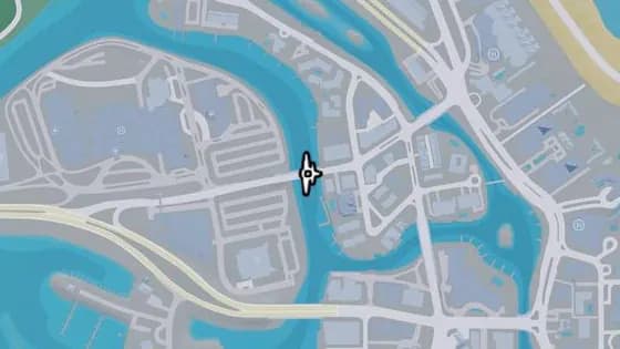
Under the Bridge: Vineyard Drive West
Under the Bridge: Vineyard Drive West is a flight stunt in Washington Island, Washington Beach. Fly under the bridge over the river that links Penmarch Isle and Washington Island.
Show on map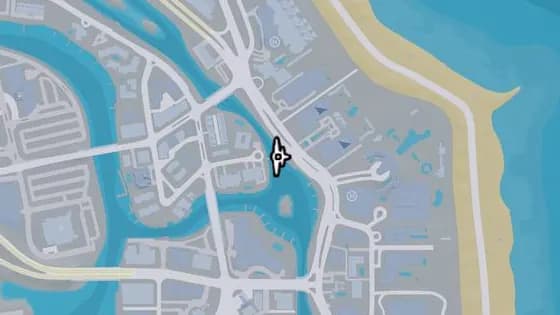
Bonita Court Footbridge
Bonita Court Footbridge is a flight stunt in Washington Beach, Vice Beach. Fly under the bridge over the river that links Washington Island and Washington Beach.
Show on map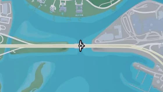
Under the Bridge: Washington Beach West
Under the Bridge: Washington Beach West is a flight stunt in Penmarch Isle, Washington Beach. Fly under the bridge over the water that links Penmarch Isle and Bayside.
Show on map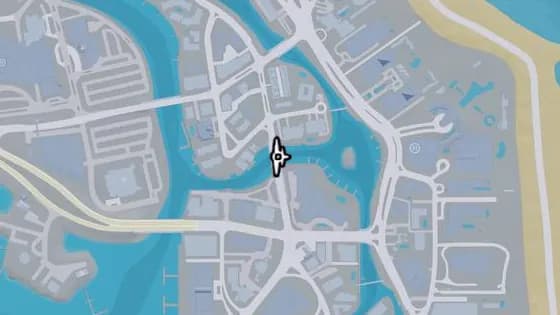
Under the Bridge: Oleander Boulevard
Under the Bridge: Oleander Boulevard is a flight stunt in Washington Island, Washington Beach. Fly under the bridge over the river that links Washington Island and Oldby Island.
Show on map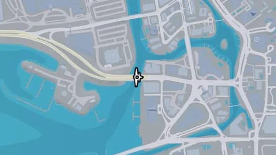
Under the Bridge: Ajax Gym / Lawton Theater
Under the Bridge: Ajax Gym / Lawton Theater is a flight stunt in Oldby Island, Washington Beach. Fly under the bridge over the river that links Penmarch Isle and Oldby Island.
Show on map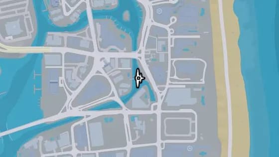
Washington Beach Footbridge
Washington Beach Footbridge is a flight stunt in Washington Beach, Vice Beach. Fly under the bridge over the canal that links Washington Beach and Oldby Island.
Show on map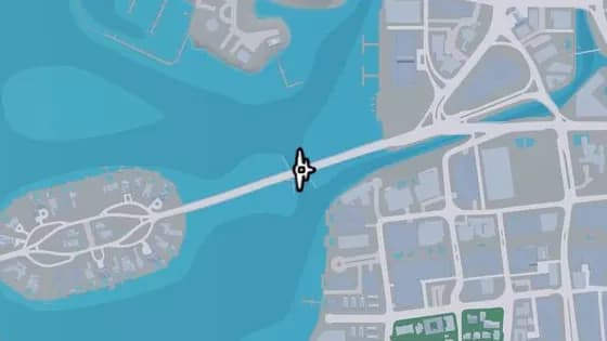
Casanova Island Bridge
Casanova Island Bridge is a flight stunt in Washington Beach, Vice Beach. Fly under the bridge over the water that links Casanova Island and Oldby Island.
Show on map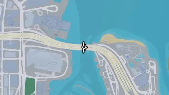
Under the Bridge: Macalister Causeway
Under the Bridge: Macalister Causeway is a flight stunt in Waxman Island, Vice Beach. Fly under the bridge over the water that links Waxman Island and Downtown.
Show on map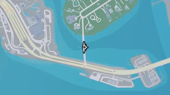
Under the Bridge: Starfish Island
Under the Bridge: Starfish Island is a flight stunt in Starfish Island, Vice Beach. Fly under the bridge over the water that links Waxman Island and Starfish Island.
Show on map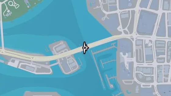
Under the Bridge: Waxman Island East
Under the Bridge: Waxman Island East is a flight stunt in Ocean Beach, Vice Beach. Fly under the bridge over the water that links Waxman Island and Ocean Beach.
Show on map
Rest of Vice-Dale County — Flight stunts12
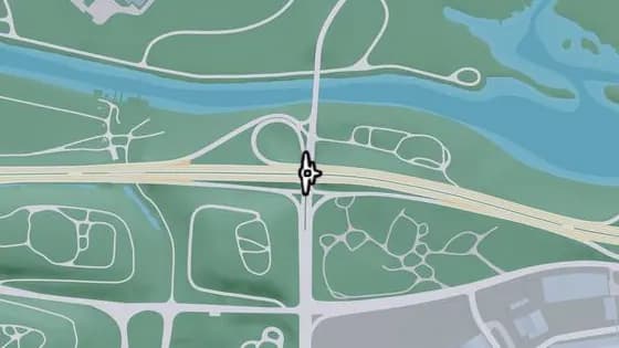
Under the Bridge: Cargo Road
Under the Bridge: Cargo Road is a flight stunt in West Vice-Dale County. Fly under the bridge that carries I-404 over Cargo Rd.
Show on map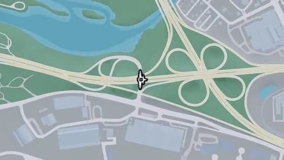
Under the Bridge: West Vice-Dale County North
Under the Bridge: West Vice-Dale County North is a flight stunt in West Vice-Dale County. Fly under the bridge that carries I-404 over one of its ramps.
Show on map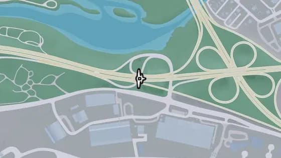
Under the Bridge: West Vice-Dale County Northeast
Under the Bridge: West Vice-Dale County Northeast is a flight stunt in West Vice-Dale County. Fly under the bridge that carries I-404 over one of its ramps.
Show on map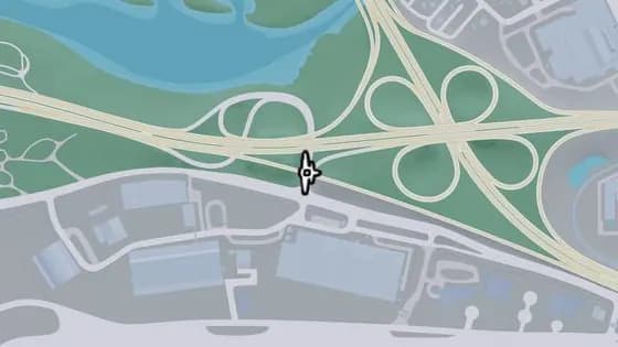
Under the Bridge: West Vice-Dale County South
Under the Bridge: West Vice-Dale County South is a flight stunt in West Vice-Dale County. Fly under the bridge that carries I-404 over one of its ramps.
Show on map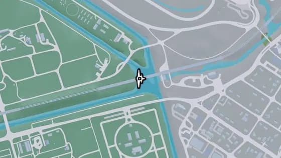
Under the Bridge: Fuzzard Drain Canal Railroad East
Under the Bridge: Fuzzard Drain Canal Railroad East is a flight stunt in Bluegrass, South Vice-Dale County. Fly under the railroad bridge over the canal on the line from Bluegrass to VCIA.
Show on map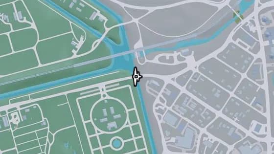
Under the Bridge: Southside West
Under the Bridge: Southside West is a flight stunt in Bluegrass, South Vice-Dale County. Fly under the bridge over the canal that links Bluegrass and Southside.
Show on map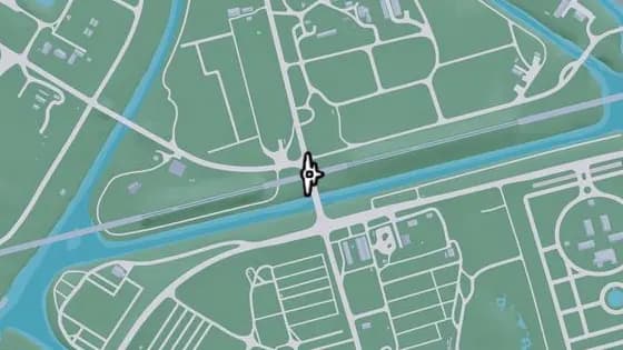
Bluegrass Railroad Bridge
Bluegrass Railroad Bridge is a flight stunt in Bluegrass, South Vice-Dale County. Fly under the railroad bridge that carries the tracks over the Farmers Walk on the north side of Bluegrass.
Show on map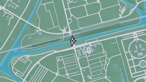
Under the Bridge: Fuzzard Drain Canal
Under the Bridge: Fuzzard Drain Canal is a flight stunt in Bluegrass, South Vice-Dale County. Fly under the bridge over the canal that links the north and south of Bluegrass.
Show on map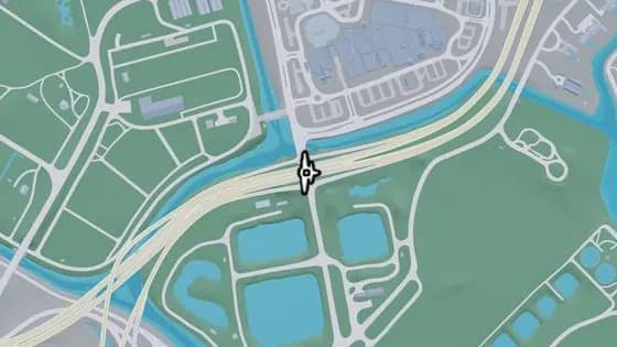
Under the Bridge: South Vice-Dale County Overpass
Under the Bridge: South Vice-Dale County Overpass is a flight stunt in South Vice-Dale County. Fly under the bridge that carries US-82 over Calderone Ave in Hamlet.
Show on map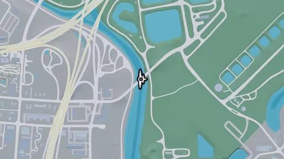
Under the Bridge: Emory Avenue
Under the Bridge: Emory Avenue is a flight stunt in Hamlet, Vice-Dale County. Fly under the bridge over the Pelican River that links Hamlet and South Vice-Dale County.
Show on map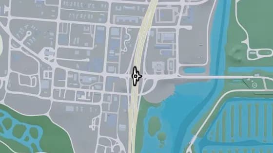
Under the Bridge: Hamlet Overpass
Under the Bridge: Hamlet Overpass is a flight stunt in Hamlet, Vice-Dale County. Fly under the bridge over Palmetto Ave that links the north and south of Hamlet.
Show on map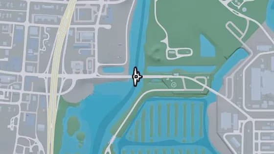
Under the Bridge: Bright Maw Pass
Under the Bridge: Bright Maw Pass is a flight stunt in Hamlet, Vice-Dale County. Fly under the bridge over the Pelican River that links Hamlet and South Vice-Dale County.
Show on map
Mariana County — Flight stunts39
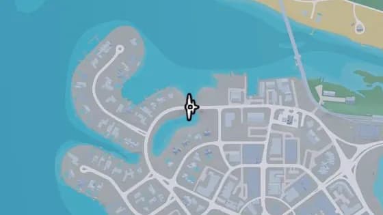
Under the Bridge: Capri Island
Under the Bridge: Capri Island is a flight stunt in Capri, Mariana County. Fly under the bridge that carries Vela Rota Dr over the water.
Show on map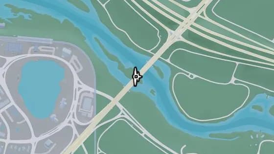
Emerald Bridge
Emerald Bridge is a flight stunt in Capri, Mariana County. Fly under the bridge over the river that links Capri and South Kelly County.
Show on map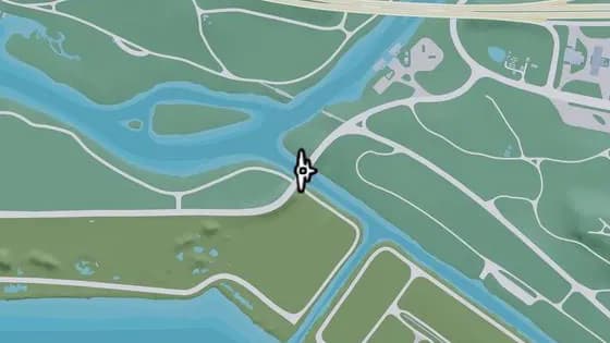
Under the Bridge: Terrapin Road
Under the Bridge: Terrapin Road is a flight stunt in North Mariana County. Fly under the bridge over the river that links North Mariana County and West Vice-Dale County.
Show on map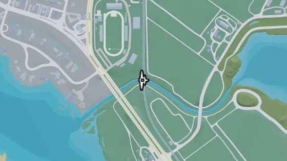
Under the Bridge: Nehrling River Railroad
Under the Bridge: Nehrling River Railroad is a flight stunt in Capri, Mariana County. Fly under the railroad bridge that carries the tracks over the Nehrling River between Capri and North Mariana County.
Show on map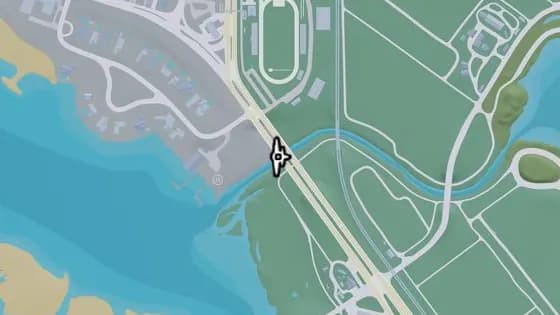
Under the Bridge: Nehrling River West
Under the Bridge: Nehrling River West is a flight stunt in Capri, Mariana County. Fly under the bridge that carries US-82 over the Nehrling River between Capri and North Mariana County.
Show on map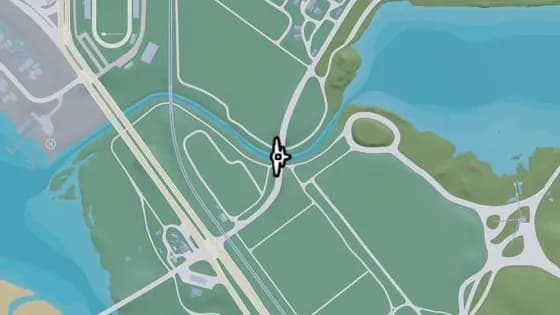
Under the Bridge: Nehrling River East
Under the Bridge: Nehrling River East is a flight stunt in North Mariana County. Fly under the bridge that carries Pigeon Plum Rd over the Nehrling River between Capri and North Mariana County.
Show on map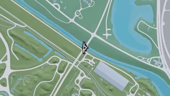
Under the Bridge: Caprice City Canal
Under the Bridge: Caprice City Canal is a flight stunt in North Mariana County. Fly under the bridge over the canal that links Breakwater Quarry and West Vice-Dale County.
Show on map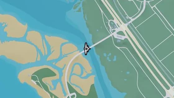
Under the Bridge: Bobcat Key North
Under the Bridge: Bobcat Key North is a flight stunt in Bobcat Key, Mariana County. Fly under the bridge over Bobcat Bight that links Bobcat Key and North Mariana County.
Show on map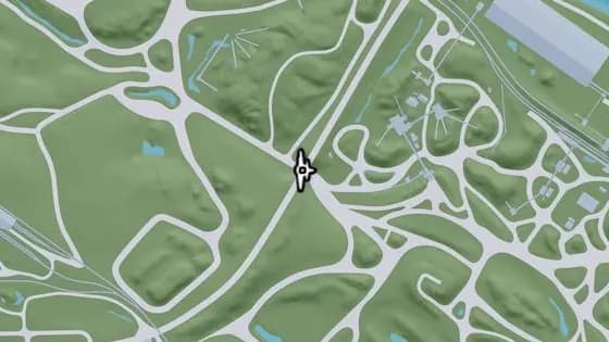
Under the Bridge: Breakwater Quarry
Under the Bridge: Breakwater Quarry is a flight stunt in North Mariana County. Fly under the bridge that carries Union Rd over a dirt road.
Show on map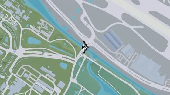
Under the Bridge: Seabell Avenue
Under the Bridge: Seabell Avenue is a flight stunt in Breakwater Quarry, North Mariana County. Fly under the bridge over the canal that links Breakwater Quarry and VCIA.
Show on map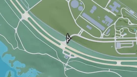
Under the Bridge: North Mariana County Railroad West
Under the Bridge: North Mariana County Railroad West is a flight stunt in North Mariana County. Fly under the bridge that carries Union Rd over the railroad.
Show on map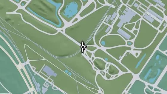
Under the Bridge: Goliath Global Quarry
Under the Bridge: Goliath Global Quarry is a flight stunt in Breakwater Quarry, North Mariana County. Fly under the railroad bridge that carries the train tracks over the quarry.
Show on map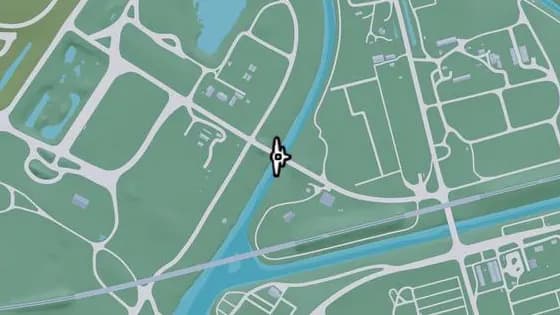
Under the Bridge: Bluegrass North
Under the Bridge: Bluegrass North is a flight stunt in Breakwater Quarry, North Mariana County. Fly under the bridge over the canal that links Bluegrass and North Mariana County.
Show on map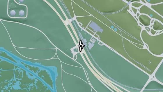
SND Station Footbridge
SND Station Footbridge is a flight stunt in Grassrivers, Mariana County. Fly under the pedestrian bridge that crosses US-82 between Grassrivers and North Mariana County.
Show on map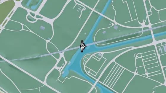
Under the Bridge: Fuzzard Drain Canal Railroad West
Under the Bridge: Fuzzard Drain Canal Railroad West is a flight stunt in Breakwater Quarry, North Mariana County. Fly under the railroad bridge over the canal on the line between Bluegrass and North Mariana County.
Show on map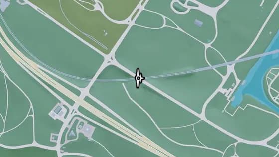
Under the Bridge: North Mariana County Railroad Southeast
Under the Bridge: North Mariana County Railroad Southeast is a flight stunt in Breakwater Quarry, North Mariana County. Fly under the bridge that carries SW 3rd Ave over the railroad.
Show on map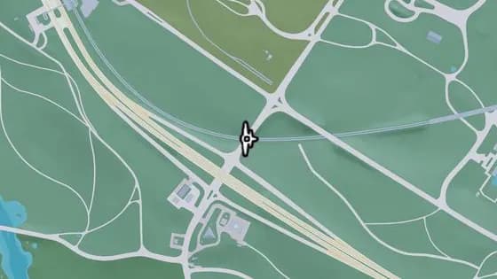
Under the Bridge: North Mariana County Railroad Southwest
Under the Bridge: North Mariana County Railroad Southwest is a flight stunt in Breakwater Quarry, North Mariana County. Fly under the bridge that carries Seabell Ave over the railroad.
Show on map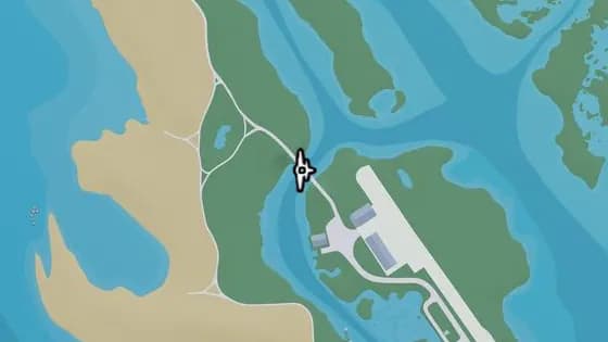
Under the Bridge: Bobcat Key Central
Under the Bridge: Bobcat Key Central is a flight stunt in Bobcat Key, Mariana County. Fly under the bridge that carries Loggerhead Rd over the water.
Show on map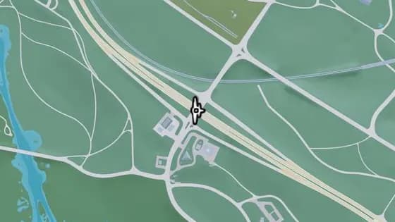
Under the Bridge: North Mariana County Overpass
Under the Bridge: North Mariana County Overpass is a flight stunt in Grassrivers, Mariana County. Fly under the bridge that carries US-82 over Seabell Ave between Grassrivers and North Mariana County.
Show on map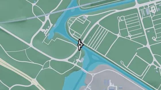
Under the Bridge: Bluegrass South
Under the Bridge: Bluegrass South is a flight stunt in Breakwater Quarry, North Mariana County. Fly under the bridge over the Pelican River that links North Mariana County and South Vice-Dale County.
Show on map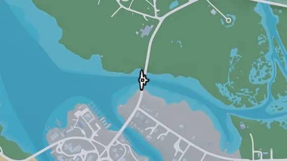
Under the Bridge: North Watson Bay
Under the Bridge: North Watson Bay is a flight stunt in Watson Bay, Mariana County. Fly under the bridge over the river that links Watson Bay and the Grasslands.
Show on map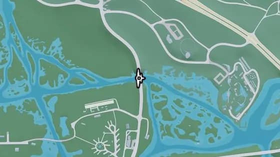
Under the Bridge: East Big Pine
Under the Bridge: East Big Pine is a flight stunt in Watson Bay, Mariana County. Fly under the bridge over the Pelican River that links Watson Bay and Grassrivers.
Show on map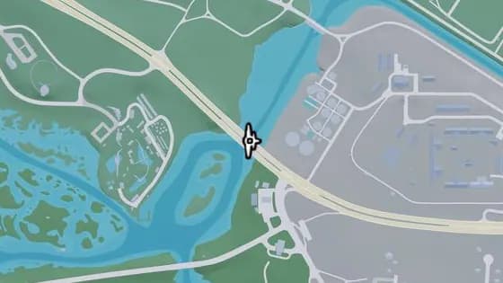
Under the Bridge: Pelican River
Under the Bridge: Pelican River is a flight stunt in Grassrivers, Mariana County. Fly under the bridge over the Pelican River that links Hamlet and Grassrivers.
Show on map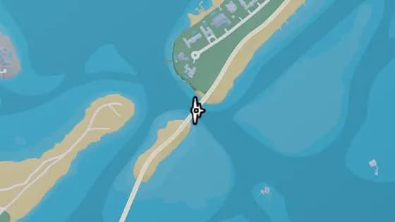
Under the Bridge: Catalan Key South
Under the Bridge: Catalan Key South is a flight stunt in Corsair Key, Mariana County. Fly under the bridge over the ocean that links Corsair Key and Catalan Key.
Show on map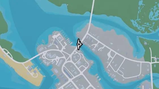
Under the Bridge: Gavin's Creek West
Under the Bridge: Gavin's Creek West is a flight stunt in Watson Bay, Mariana County. Fly under the bridge over Gavin's Creek that links the north and south of Watson Bay.
Show on map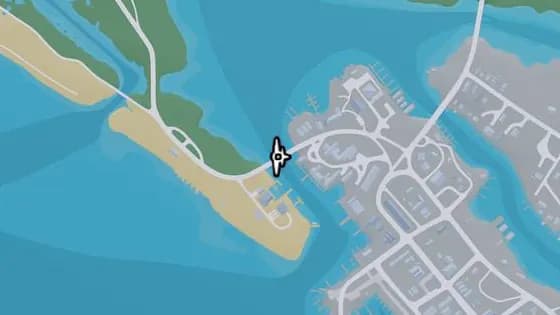
Under the Bridge: Bobcat Key South
Under the Bridge: Bobcat Key South is a flight stunt in Bobcat Key, Mariana County. Fly under the bridge over Bobcat Bight that links Bobcat Key and Watson Bay.
Show on map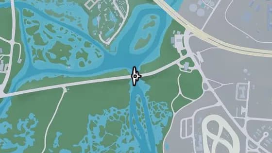
Under the Bridge: Atlee River
Under the Bridge: Atlee River is a flight stunt in Pelican Valley, Grassrivers. Fly under the bridge over the Pelican River that links Gullet Marsh and Hamlet.
Show on map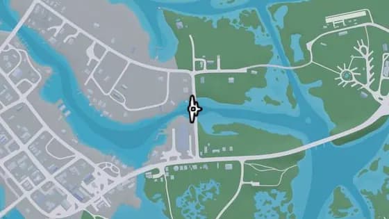
Under the Bridge: Gavin's Creek East
Under the Bridge: Gavin's Creek East is a flight stunt in Watson Bay, Mariana County. Fly under the bridge that carries Buckeye Rd over Gavin's Creek.
Show on map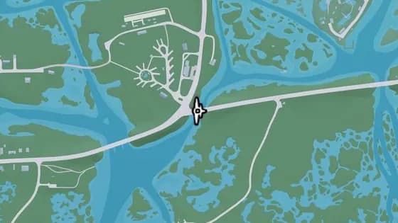
Under the Bridge: East Watson Bay
Under the Bridge: East Watson Bay is a flight stunt in Watson Bay, Mariana County. Fly under the bridge over the Pelican River that links Watson Bay and Gullet Marsh.
Show on map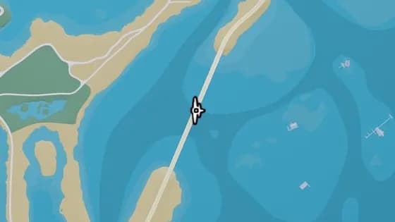
Under the Bridge: North Isla Maldia
Under the Bridge: North Isla Maldia is a flight stunt in Corsair Key, Mariana County. Fly under the bridge over the ocean that links the north and south of Corsair Key.
Show on map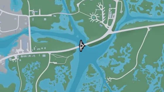
Under the Bridge: Watson Bay
Under the Bridge: Watson Bay is a flight stunt in Watson Bay, Mariana County. Fly under the bridge over the Pelican River that links Watson Bay and the Paradise RV Park.
Show on map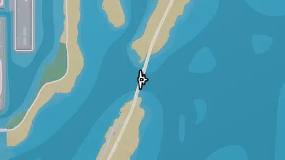
Under the Bridge: Isla Maldia
Under the Bridge: Isla Maldia is a flight stunt in Corsair Key, Mariana County. Fly under the bridge over Peregrine Bay that links the north and south of Corsair Key.
Show on map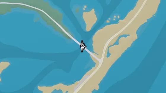
Under the Bridge: South Isla Maldia
Under the Bridge: South Isla Maldia is a flight stunt in Corsair Key, Mariana County. Fly under the bridge over Peregrine Bay that links Corsair Key and Shoeless Keys.
Show on map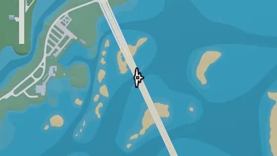
Under the Bridge: Lento Causeway
Under the Bridge: Lento Causeway is a flight stunt in Shoeless Keys, Mariana County. Fly under the bridge over Gambit Bay that links Key Lento and Hamlet.
Show on map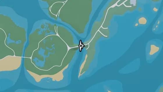
Old Fort Road Bridge
Old Fort Road Bridge is a flight stunt in Grassrivers, Mariana County. Fly under the bridge that carries Longneck Trl over the river between Shoeless Keys and Pelican Valley.
Show on map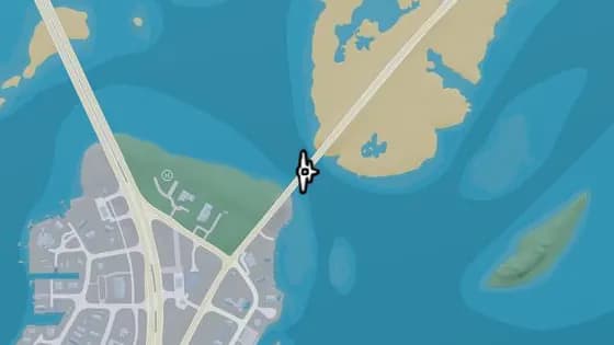
Under the Bridge: North Key Lento
Under the Bridge: North Key Lento is a flight stunt in Key Lento, Mariana County. Fly under the bridge over Gambit Bay that links Key Lento and Corsair Key.
Show on map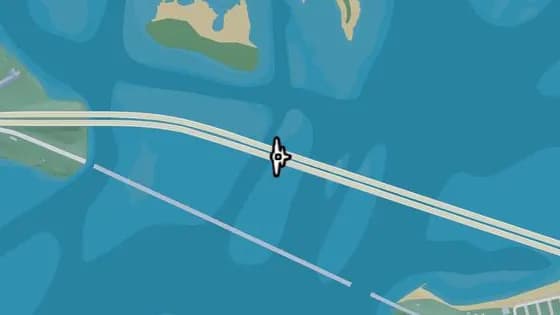
Under the Bridge: Permit Causeway
Under the Bridge: Permit Causeway is a flight stunt in Mile Zero Air Station, Mariana County. Fly under the bridge over the ocean that links Mile Zero Air Station and Abismo Key.
Show on map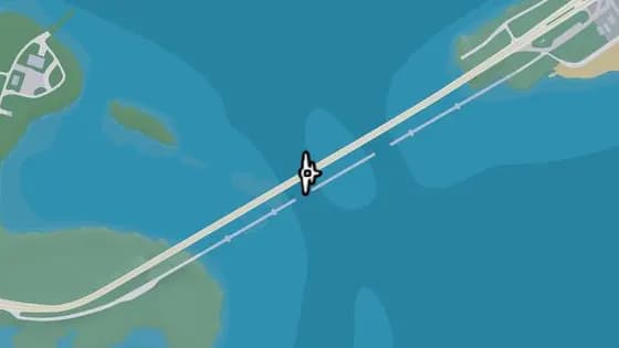
Under the Bridge: Keylime Causeway
Under the Bridge: Keylime Causeway is a flight stunt in Abismo Key, Mariana County. Fly under the bridge over the ocean that links Abismo Key and Key Lento.
Show on map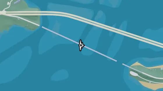
Saltrock Bridge
Saltrock Bridge is a flight stunt in Mile Zero Air Station, Mariana County. Fly under the bridge over the ocean that links Mile Zero Air Station and Abismo Key.
Show on map
Kelly County — Flight stunts52
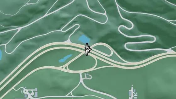
Under the Bridge: North Kelly County Overpass West
Under the Bridge: North Kelly County Overpass West is a flight stunt in North Kelly County. Fly under the bridge over I-297 that links Moonstone Hwy to I-297.
Show on map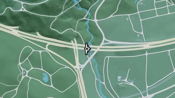
Under the Bridge: North Leonard County Overpass North
Under the Bridge: North Leonard County Overpass North is a flight stunt in North Kelly County. Fly under the bridge over the road that links the east and west sections of I-297, between North Kelly County and North Leonard County.
Show on map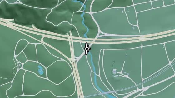
Under the Bridge: Kalaga River
Under the Bridge: Kalaga River is a flight stunt in North Kelly County. Fly under the bridge over the Kalaga River that links the north and south sections of Tallaloko Lake Rd, between North Kelly County and North Leonard County.
Show on map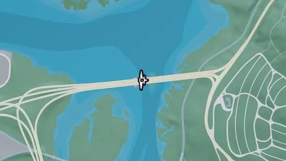
Under the Bridge: Draper Island East
Under the Bridge: Draper Island East is a flight stunt in Draper Island, Kelly County. Fly under the bridge over Draper Bay that links Draper Island and Manifest Canyon.
Show on map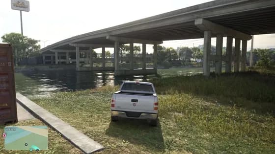
Under the Bridge: North Kelly County Overpass East
Under the Bridge: North Kelly County Overpass East is a flight stunt in North Kelly County. Fly under the bridge over SR-27 that links the north and south sections of US-35.
Show on map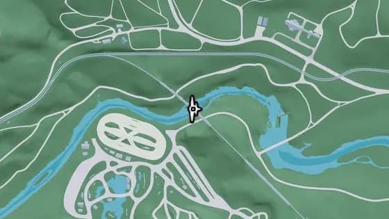
Under the Bridge: Saputka River Railroad East
Under the Bridge: Saputka River Railroad East is a flight stunt in North Kelly County. Fly under the bridge over the Saputka River that carries the north–south railroad, between North Kelly County and Frogswater.
Show on map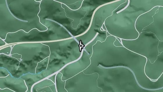
Under the Bridge: Providence Canyon Railroad
Under the Bridge: Providence Canyon Railroad is a flight stunt in Manifest Canyon, Kelly County. Fly under the railroad bridge across the mountains that links the north and south sections of the tracks in Manifest Canyon.
Show on map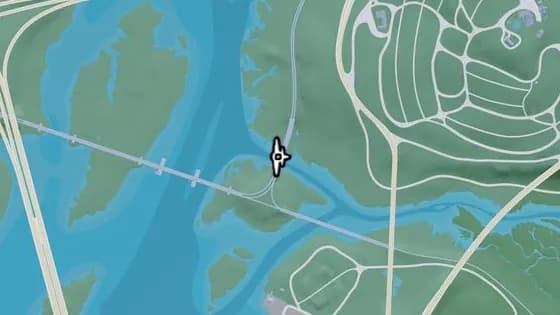
Under the Bridge: Saputka River Railroad North
Under the Bridge: Saputka River Railroad North is a flight stunt in Manifest Canyon, Kelly County. Fly under the railroad bridge over the Saputka River between Manifest Canyon and Port Gellhorn.
Show on map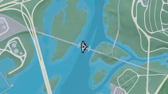
Draper Island Bridge
Draper Island Bridge is a flight stunt in Draper Island, Kelly County. Fly under the railroad bridge over Draper Bay between Draper Island and Port Gellhorn.
Show on map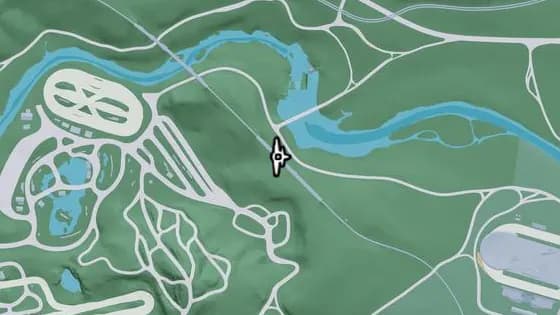
Under the Bridge: North Frogswater Railroad
Under the Bridge: North Frogswater Railroad is a flight stunt in Thrillbilly Mud Club, Frogswater. Fly under the railroad bridge across the mountains that carries the north–south line in Frogswater.
Show on map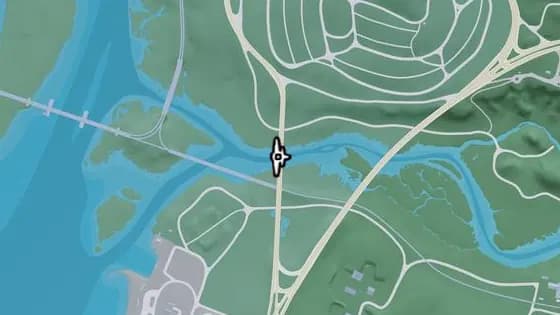
Under the Bridge: Saputka River West
Under the Bridge: Saputka River West is a flight stunt in Manifest Canyon, Kelly County. Fly under the bridge over the Saputka River that links the north and south sections of SR-45, between Port Gellhorn and Manifest Canyon.
Show on map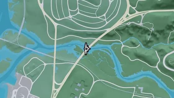
Under the Bridge: Saputka River
Under the Bridge: Saputka River is a flight stunt in Manifest Canyon, Kelly County. Fly under the bridge over the Saputka River that links the north and south sections of Moonstone Hwy, between Port Gellhorn and Manifest Canyon.
Show on map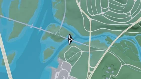
Under the Bridge: Saputka River Railroad West
Under the Bridge: Saputka River Railroad West is a flight stunt in Port Gellhorn, Kelly County. Fly under the railroad bridge over the Saputka River between Port Gellhorn and Draper Island.
Show on map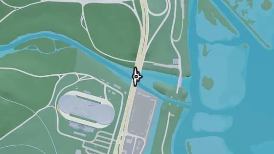
Under the Bridge: Saputka River Mouth
Under the Bridge: Saputka River Mouth is a flight stunt in North Kelly County. Fly under the bridge over the Saputka River that links the north and south sections of US-35, between North Kelly County and Ambrosia.
Show on map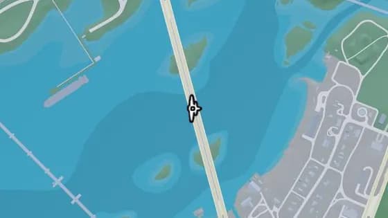
Under the Bridge: Draper Island South
Under the Bridge: Draper Island South is a flight stunt in Port Gellhorn, Kelly County. Fly under the bridge over Draper Bay that links Draper Island and Port Gellhorn.
Show on map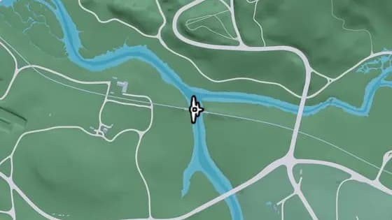
Under the Bridge: Saputka River Railroad
Under the Bridge: Saputka River Railroad is a flight stunt in Gellhorn, Kelly County. Fly under the bridge over the Saputka River that carries the east–west railroad between Frogswater and Gellhorn.
Show on map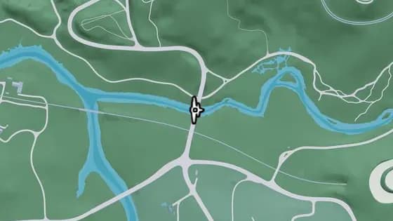
Under the Bridge: Saputka River East
Under the Bridge: Saputka River East is a flight stunt in Manifest Canyon, Kelly County. Fly under the bridge over the Saputka River that links the north and south sections of US-70, between Port Gellhorn and Manifest Canyon.
Show on map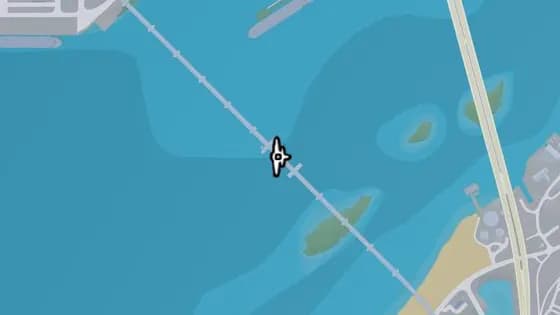
Gowing Railroad Bridge
Gowing Railroad Bridge is a flight stunt in Draper Island, Kelly County. Fly under the railroad bridge over Draper Bay between Draper Island and Port Gellhorn.
Show on map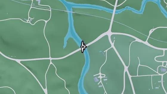
Under the Bridge: Kelly River North
Under the Bridge: Kelly River North is a flight stunt in Gellhorn, Kelly County. Fly under the bridge over the Kelly River that links the east and west sections of SR-32, between Gellhorn and Frogswater.
Show on map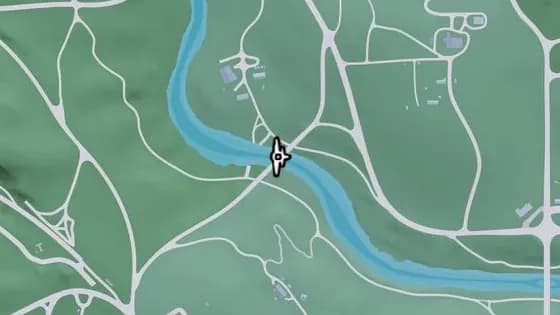
Graffiti Bridge
Graffiti Bridge is a flight stunt in Frogswater, Kelly County. Fly under the bridge over the Kelly River that links Gellhorn and Frogswater.
Show on map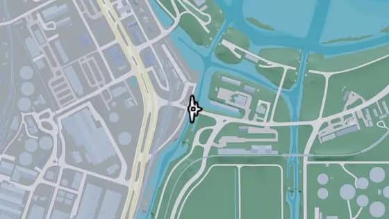
Under the Bridge: Allied Crystal Pipeline
Under the Bridge: Allied Crystal Pipeline is a flight stunt in Ambrosia, Kelly County. Fly under the bridge over the canal that links the eastern and western sections of SR-27.
Show on map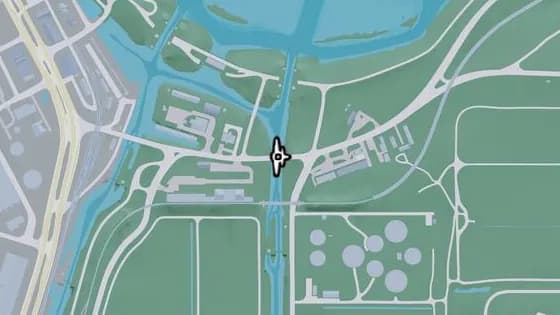
Under the Bridge: Belville Canal North
Under the Bridge: Belville Canal North is a flight stunt in Ambrosia, Kelly County. Fly under the bridge over the canal that links the east and west sections of SR-27, between Belville and Ambrosia.
Show on map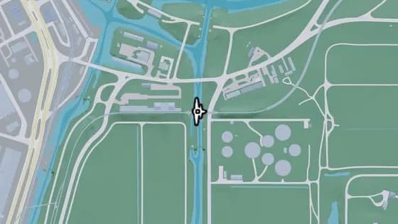
Under the Bridge: Belville Canal Railroad
Under the Bridge: Belville Canal Railroad is a flight stunt in Ambrosia, Kelly County. Fly under the railroad bridge over the canal between Belville and Ambrosia.
Show on map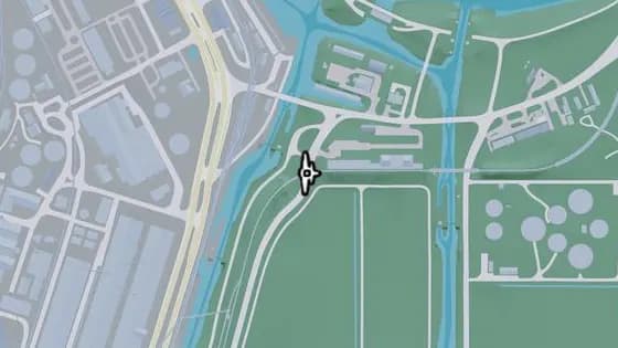
Under the Bridge: Ambrosia East Railroad North
Under the Bridge: Ambrosia East Railroad North is a flight stunt in Ambrosia, Kelly County. Fly under the bridge over SR-25 that links the east and west sections of the train tracks.
Show on map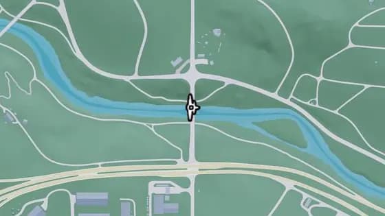
Under the Bridge: Kelly River South
Under the Bridge: Kelly River South is a flight stunt in Frogswater, Kelly County. Fly under the bridge over the Kelly River that links the north and south sections of SR-32, between Frogswater and Emerald Springs.
Show on map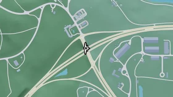
Under the Bridge: North Gellhorn Overpass
Under the Bridge: North Gellhorn Overpass is a flight stunt in Gellhorn, Kelly County. Fly under the bridge over CR 62 that links the north and south sections of US-183 in Port Gellhorn.
Show on map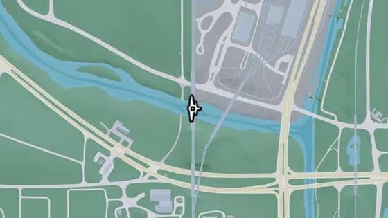
Under the Bridge: Kelly River Railroad West
Under the Bridge: Kelly River Railroad West is a flight stunt in Ambrosia, Kelly County. Fly under the railroad bridge over the Kelly River between Ambrosia and Emerald Springs.
Show on map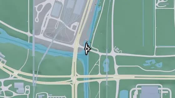
Under the Bridge: Leonida Canal North
Under the Bridge: Leonida Canal North is a flight stunt in Ambrosia, Kelly County. Fly under the US-70 bridge over the canal.
Show on map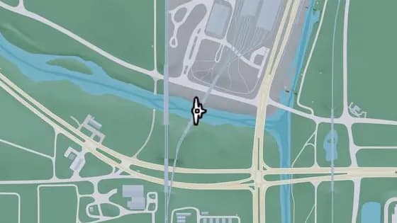
Under the Bridge: Kelly River Railroad East
Under the Bridge: Kelly River Railroad East is a flight stunt in Ambrosia, Kelly County. Fly under the railroad bridge over the Kelly River between Ambrosia and Emerald Springs.
Show on map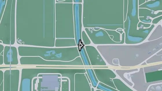
Under the Bridge: Belville Canal South
Under the Bridge: Belville Canal South is a flight stunt in Ambrosia, Kelly County. Fly under the bridge over the canal that links the east and west sections of US-70, where Belville, Ambrosia, and South Leonard County meet.
Show on map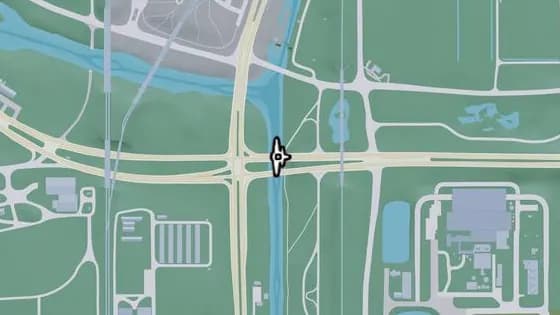
Under the Bridge: Leonida Canal
Under the Bridge: Leonida Canal is a flight stunt in Emerald Springs, Kelly County. Fly under the bridge over the canal that links the east and west sections of CR 62, between South Leonard County and Emerald Springs.
Show on map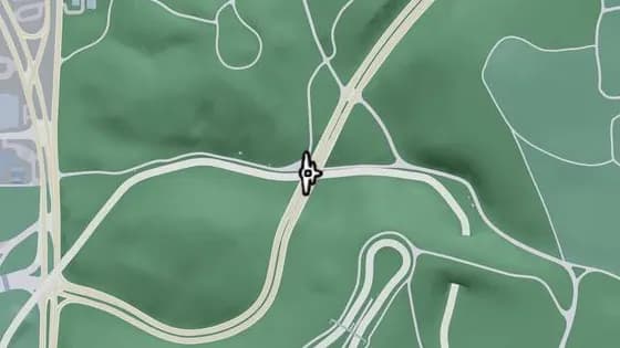
Under the Bridge: Raceway Overpass East
Under the Bridge: Raceway Overpass East is a flight stunt in Gellhorn, Kelly County. Fly under the bridge over the raceway that links the north and south sections of CR 62.
Show on map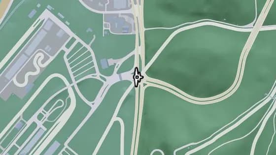
Under the Bridge: Gellhorn International Raceway
Under the Bridge: Gellhorn International Raceway is a flight stunt in Gellhorn, Kelly County. Fly under the bridge over the entrance to the Gellhorn International Raceway, which joins two parts of the track.
Show on map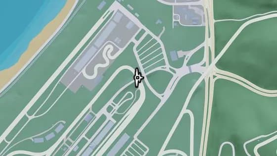
Raceway Paddock Bridge
Raceway Paddock Bridge is a flight stunt in Gellhorn International Raceway. Fly under the bridge over the racetrack that links the raceway entrance with the buildings in the middle of the track.
Show on map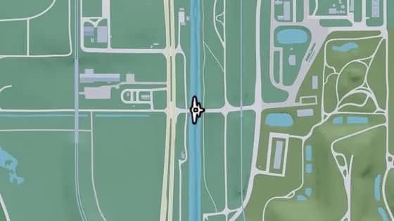
Under the Bridge: Leonida Canal South
Under the Bridge: Leonida Canal South is a flight stunt in Emerald Springs, Kelly County. Fly under the bridge over the canal that links South Leonard County and Emerald Springs.
Show on map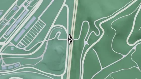
Under the Bridge: Raceway Overpass North
Under the Bridge: Raceway Overpass North is a flight stunt in Gellhorn, Kelly County. Fly under the bridge that carries a service road over I-404.
Show on map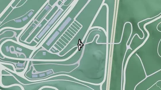
Under the Bridge: Raceway Parking
Under the Bridge: Raceway Parking is a flight stunt in Gellhorn, Kelly County. Fly under the bridge over the racetrack that links Gellhorn with the raceway parking lot.
Show on map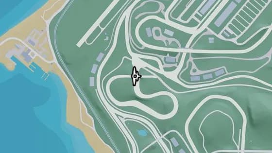
Under the Bridge: Gellhorn Rally X
Under the Bridge: Gellhorn Rally X is a flight stunt in Gellhorn International Raceway. Fly under the bridge over the dirt race track that joins two sections of the rally course.
Show on map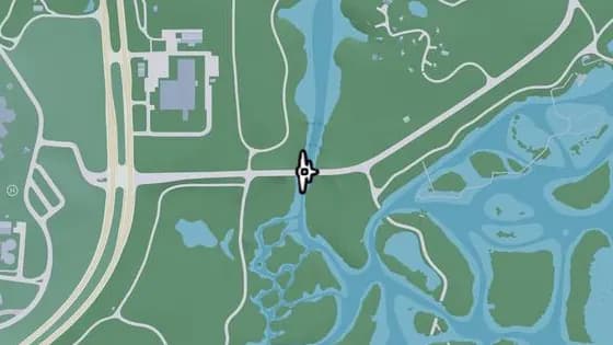
Under the Bridge: Buckskin Swamp Channels
Under the Bridge: Buckskin Swamp Channels is a flight stunt in Emerald Springs, Kelly County. Fly under the bridge that carries Emerald Springs Dr over the Emerald River between Emerald Springs and Buckskin Swamp.
Show on map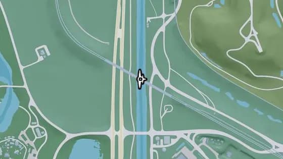
Under the Bridge: Leonida Canal Railroad
Under the Bridge: Leonida Canal Railroad is a flight stunt in Emerald Springs, Kelly County. Fly under the railroad bridge that carries the tracks over the canal between Balsero and Emerald Springs.
Show on map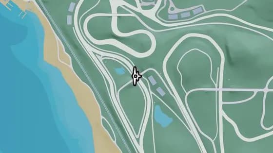
Under the Bridge: Raceway Stands
Under the Bridge: Raceway Stands is a flight stunt in Gellhorn International Raceway. Fly under the bridge over the racetrack that joins two sections of the spectator stands.
Show on map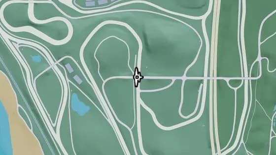
Under the Bridge: Xero Billboard
Under the Bridge: Xero Billboard is a flight stunt in Gellhorn International Raceway. Fly under the bridge over the racetrack that links two service roads.
Show on map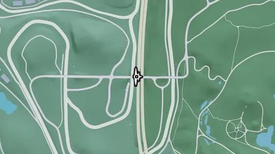
Under the Bridge: Raceway Overpass Central
Under the Bridge: Raceway Overpass Central is a flight stunt in Gellhorn, Kelly County. Fly under the bridge over I-404 that links Gellhorn and the raceway.
Show on map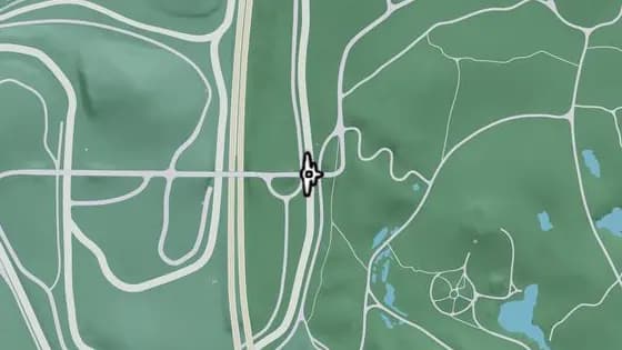
Under the Bridge: Chepalle Billboard
Under the Bridge: Chepalle Billboard is a flight stunt in Gellhorn, Kelly County. Fly under the bridge over the race track that links Gellhorn and the raceway.
Show on map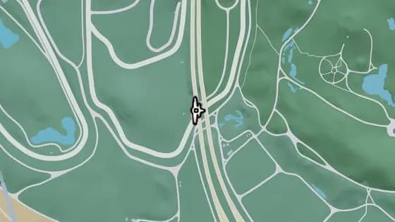
Under the Bridge: Raceway Overpass South
Under the Bridge: Raceway Overpass South is a flight stunt in Gellhorn, Kelly County. Fly under the bridge that carries I-404 over the racetrack.
Show on map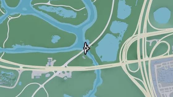
Under the Bridge: Buckskin Swamp Southeast
Under the Bridge: Buckskin Swamp Southeast is a flight stunt in Buckskin Swamp, Kelly County. Fly under the bridge that carries Cargo Rd over the river.
Show on map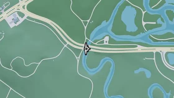
Under the Bridge: Buckskin Swamp Southwest
Under the Bridge: Buckskin Swamp Southwest is a flight stunt in South Kelly County. Fly under the bridge that carries Omega Pkwy over the river between South Kelly County and Buckskin Swamp.
Show on map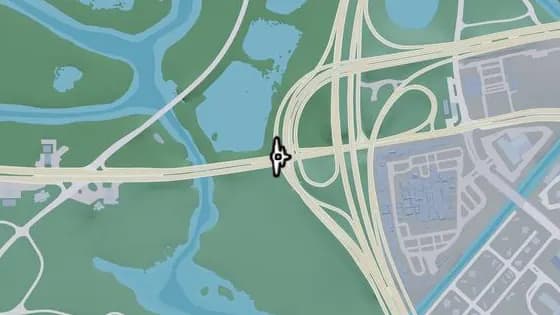
Under the Bridge: Balsero Overpass West
Under the Bridge: Balsero Overpass West is a flight stunt in Buckskin Swamp, Kelly County. Fly under the bridge that carries the ramp from US-10 to US-35 over Omega Pkwy, between Balsero and Buckskin Swamp.
Show on map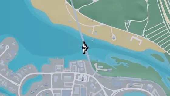
Under the Bridge: Capri Bay Railroad
Under the Bridge: Capri Bay Railroad is a flight stunt in South Kelly County. Fly under the bridge over the river that links Capri and South Kelly County.
Show on map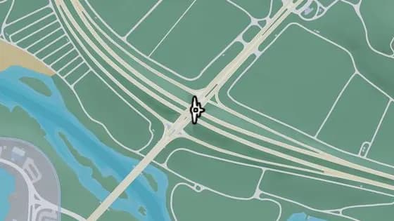
Under the Bridge: South Kelly County Overpass
Under the Bridge: South Kelly County Overpass is a flight stunt in South Kelly County. Fly under the bridge that carries US-183 over I-404.
Show on map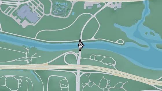
Under the Bridge: Muspachee River East
Under the Bridge: Muspachee River East is a flight stunt in Buckskin Swamp, Kelly County. Fly under the bridge over the Muspachee River that links Buckskin Swamp and West Vice-Dale County.
Show on map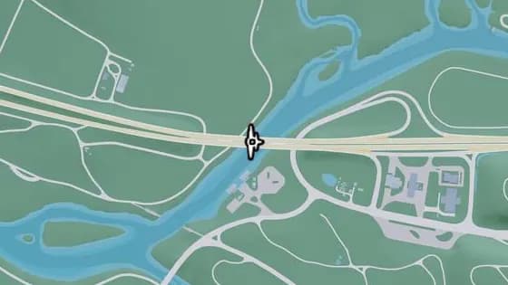
Under the Bridge: Muspachee River West
Under the Bridge: Muspachee River West is a flight stunt in South Kelly County. Fly under the bridge over the Muspachee River that links West Vice-Dale County and South Kelly County.
Show on map
Leonard County — Flight stunts35
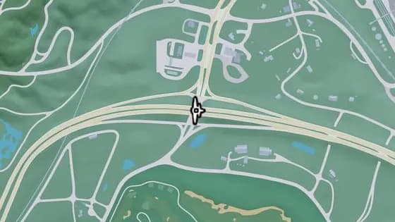
Under the Bridge: North Leonard County Overpass
Under the Bridge: North Leonard County Overpass is a flight stunt in North Leonard County. Fly under the bridge over US-628 that links the east and west sections of I-297, between North Leonard County and Waning Sands.
Show on map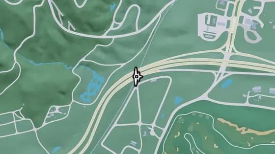
Under the Bridge: North Leonard County Railway
Under the Bridge: North Leonard County Railway is a flight stunt in North Leonard County. Fly under the bridge over the train tracks that links the east and west sections of I-297.
Show on map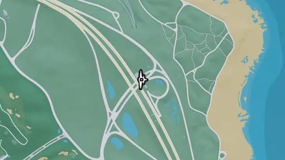
Under the Bridge: Richard Barebone Overpass East
Under the Bridge: Richard Barebone Overpass East is a flight stunt in Richard Barebone National Park, Leonard County. Fly under the bridge over Pitcher Rd that links the north and south sections of I-97.
Show on map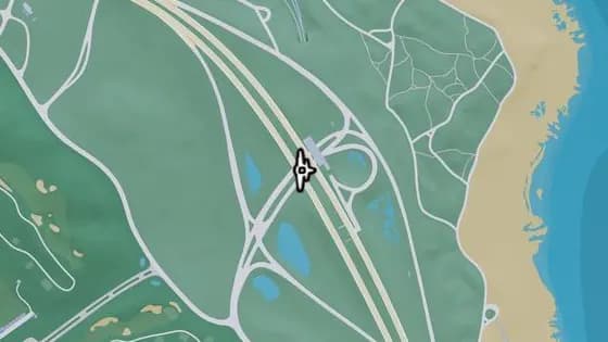
Under the Bridge: Richard Barebone Overpass West
Under the Bridge: Richard Barebone Overpass West is a flight stunt in Richard Barebone National Park, Leonard County. Fly under the bridge over Pitcher Rd that links the north and south sections of I-97.
Show on map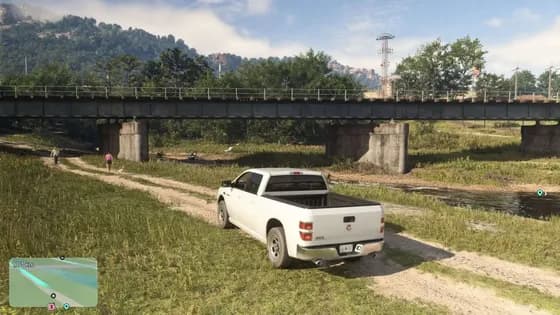
Under the Bridge: Kalaga River Railroad
Under the Bridge: Kalaga River Railroad is a flight stunt in North Leonard County. Fly under the railroad bridge over the Kalaga River between North Kelly County and North Leonard County.
Show on map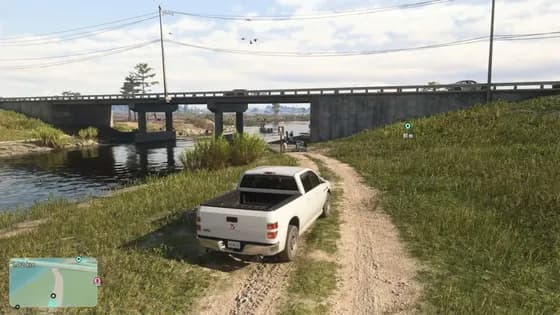
Under the Bridge: Kalaga River Mouth
Under the Bridge: Kalaga River Mouth is a flight stunt in North Leonard County. Fly under the bridge over the Kalaga River that links the east and west sections of SR-27, between North Kelly County and North Leonard County.
Show on map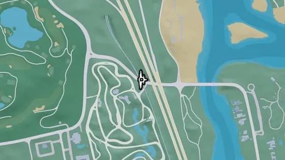
Under the Bridge: Waning Sands Railroad
Under the Bridge: Waning Sands Railroad is a flight stunt in Richard Barebone National Park, Leonard County. Fly under the bridge over the Flamingo Pkwy that links the north and south sides of the railroad.
Show on map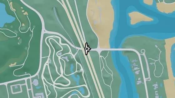
Under the Bridge: Waning Sands Overpass
Under the Bridge: Waning Sands Overpass is a flight stunt in Richard Barebone National Park, Leonard County. Fly under the bridge over Flamingo Pkwy that links the north and south sections of I-97.
Show on map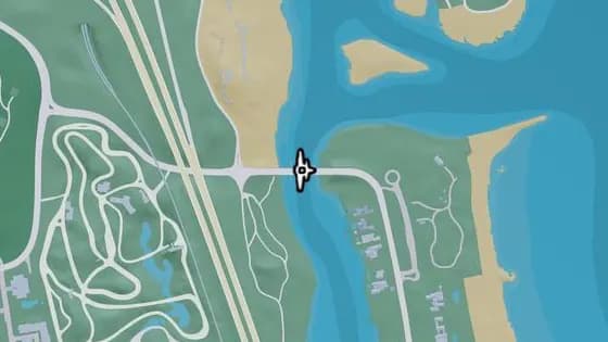
Under the Bridge: Leith River North
Under the Bridge: Leith River North is a flight stunt in Blackrock Beach, Richard Barebone National Park. Fly under the bridge over the Leith River that links Vinewood Beach and Waning Sands.
Show on map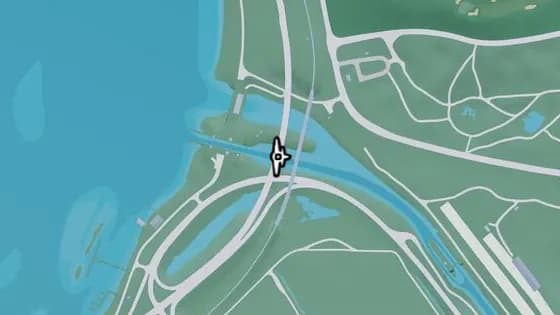
Under the Bridge: Tybee Channel North
Under the Bridge: Tybee Channel North is a flight stunt in Mount Hailes Country Club, Waning Sands. Fly under the bridge over the canal that links Belville and Waning Sands.
Show on map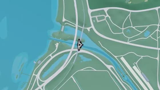
Under the Bridge: Tybee Channel Railroad North
Under the Bridge: Tybee Channel Railroad North is a flight stunt in Mount Hailes Country Club, Waning Sands. Fly under the bridge over the canal that links Belville and Waning Sands.
Show on map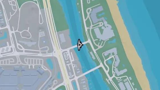
Under the Bridge: Leith River Central
Under the Bridge: Leith River Central is a flight stunt in Vinewood Beach, Waning Sands. Fly under the bridge over the Leith River that links Vinewood Beach and Waning Sands.
Show on map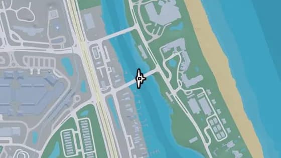
Under the Bridge: Leith River South
Under the Bridge: Leith River South is a flight stunt in Vinewood Beach, Waning Sands. Fly under the bridge over the Leith River that links Vinewood Beach and Waning Sands.
Show on map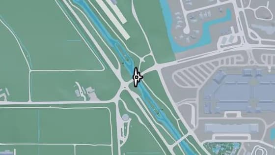
Under the Bridge: Tybee Channel Central
Under the Bridge: Tybee Channel Central is a flight stunt in Waning Sands, Leonard County. Fly under the bridge over the canal that links Belville and Waning Sands.
Show on map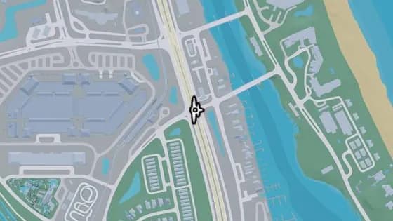
Under the Bridge: Waning Sands Central
Under the Bridge: Waning Sands Central is a flight stunt in Waning Sands, Leonard County. Fly under the bridge over US-70 that links the north and south sections of I-97.
Show on map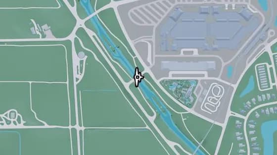
Under the Bridge: West Mall Drive
Under the Bridge: West Mall Drive is a flight stunt in Waning Sands, Leonard County. Fly under the bridge over the canal that links Belville and Waning Sands, near the mall.
Show on map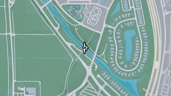
Under the Bridge: Tybee Channel Railroad South
Under the Bridge: Tybee Channel Railroad South is a flight stunt in Waning Sands, Leonard County. Fly under the bridge over the canal that links Belville and Waning Sands.
Show on map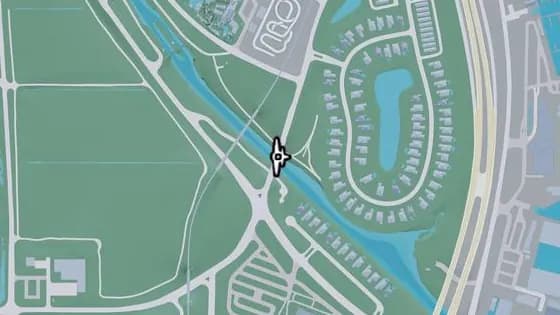
Evergreen Mall Bridge
Evergreen Mall Bridge is a flight stunt in Waning Sands, Leonard County. Fly under the bridge over the canal that links Belville and Waning Sands.
Show on map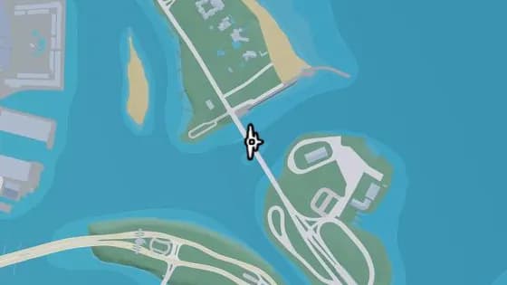
Under the Bridge: Flamingo Parkway North
Under the Bridge: Flamingo Parkway North is a flight stunt in Vinewood Beach, Waning Sands. Fly under the bridge over the ocean that links Flamingo Island and Vinewood Beach.
Show on map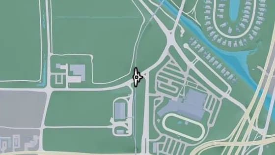
Under the Bridge: Belville North Railroad
Under the Bridge: Belville North Railroad is a flight stunt in Belville, Leonard County. Fly under the bridge over US-70 that links the north and south sections of the train tracks.
Show on map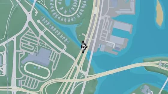
Under the Bridge: Tybee Channel South
Under the Bridge: Tybee Channel South is a flight stunt in Waning Sands, Leonard County. Fly under the bridge over the canal that links Belville and Waning Sands.
Show on map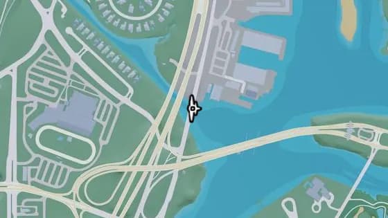
Under the Bridge: Tybee Channel Mouth East
Under the Bridge: Tybee Channel Mouth East is a flight stunt in Waning Sands, Leonard County. Fly under the bridge over the canal that links Belville and Waning Sands.
Show on map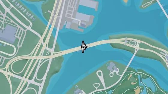
Under the Bridge: Atlantic Causeway
Under the Bridge: Atlantic Causeway is a flight stunt in Belville, Leonard County. Fly under the bridge over the river that links Atlantic Island and Belville.
Show on map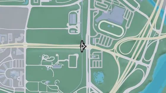
Under the Bridge: Belville East Railroad
Under the Bridge: Belville East Railroad is a flight stunt in Belville, Leonard County. Fly under the bridge over CR 62 that links the north and south sections of the train tracks.
Show on map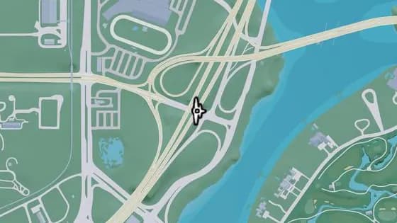
Under the Bridge: Belville East Overpass
Under the Bridge: Belville East Overpass is a flight stunt in Belville, Leonard County. Fly under the bridge over CR 62 that links the north and south sections of I-97.
Show on map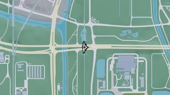
Under the Bridge: Ambrosia East Railroad South
Under the Bridge: Ambrosia East Railroad South is a flight stunt in South Leonard County. Fly under the bridge over CR 62 that links the north and south sections of the train tracks.
Show on map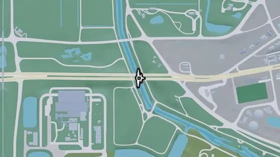
Under the Bridge: County Route 62
Under the Bridge: County Route 62 is a flight stunt in South Leonard County. Fly under the bridge over the canal that links the east and west sections of CR 62, between South Leonard County and Belville.
Show on map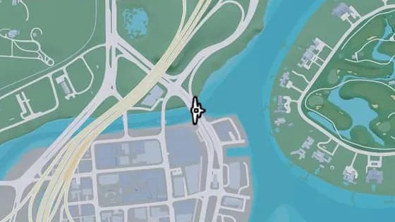
Under the Bridge: Catalan Boulevard
Under the Bridge: Catalan Boulevard is a flight stunt in Belville, Leonard County. Fly under the bridge over the canal that links the Decor District and Belville.
Show on map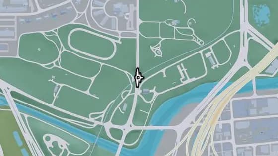
Under the Bridge: Belville Town Overpass
Under the Bridge: Belville Town Overpass is a flight stunt in Belville, Leonard County. Fly under the bridge that carries SR-120 over the train tracks.
Show on map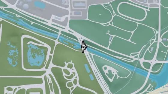
Under the Bridge: Caledonia Boulevard
Under the Bridge: Caledonia Boulevard is a flight stunt in Belville, Leonard County. Fly under the bridge that carries Caledonia Blvd over the canal between South Leonard County and Belville.
Show on map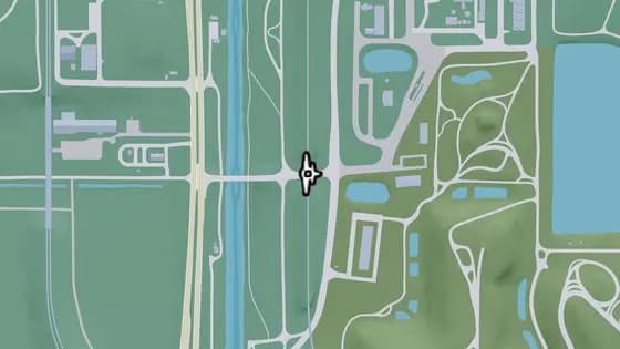
Under the Bridge: South Leonard County Railroad North
Under the Bridge: South Leonard County Railroad North is a flight stunt in South Leonard County. Fly under the railroad bridge that carries the train tracks over a road.
Show on map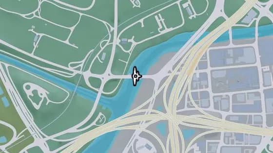
S-17 Canal Drawbridge North
S-17 Canal Drawbridge North is a flight stunt in Belville, Leonard County. Fly under the bridge over the canal that links Belville and La Perle.
Show on map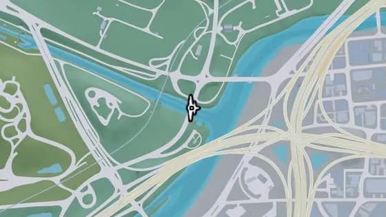
Under the Bridge: Belville Canal East
Under the Bridge: Belville Canal East is a flight stunt in Belville, Leonard County. Fly under the bridge over the canal that links Belville and South Leonard County.
Show on map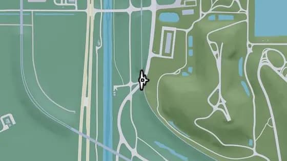
Under the Bridge: South Leonard County Railroad South
Under the Bridge: South Leonard County Railroad South is a flight stunt in South Leonard County. Fly under the railroad bridge that carries the train tracks over SR-25.
Show on map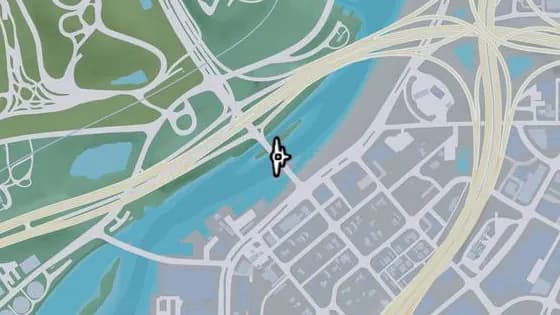
S-17 Canal Drawbridge Central
S-17 Canal Drawbridge Central is a flight stunt in South Leonard County. Fly under the bridge over the canal that links South Leonard County and La Perle.
Show on map
Lummox County — Flight stunts17
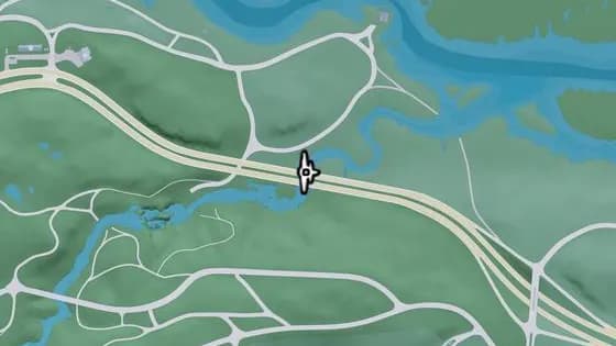
Under the Bridge: Macalister River North
Under the Bridge: Macalister River North is a flight stunt in East Lummox County. Fly under the bridge over the Macalister River that links the east and west sections of US-628.
Show on map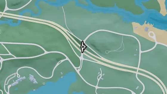
Under the Bridge: Interstate 297 Overpass
Under the Bridge: Interstate 297 Overpass is a flight stunt in East Lummox County. Fly under the bridge over US-628 that links the north and south sections of Tidewater Dr.
Show on map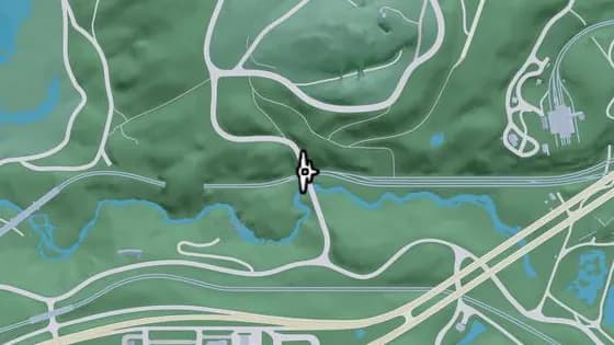
Under the Bridge: West Moreau Overpass
Under the Bridge: West Moreau Overpass is a flight stunt in MacAlister Gold Mine, Moreau. Fly under the bridge over the railroad that links the north and south sections of Rockledge Rd.
Show on map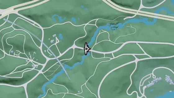
Under the Bridge: Macalister River Central
Under the Bridge: Macalister River Central is a flight stunt in Mount Kalaga National Park, Lummox County. Fly under the bridge over the Macalister River that links the east and west sections of Sassafrass Rd, between Mount Kalaga National Park and East Lummox County.
Show on map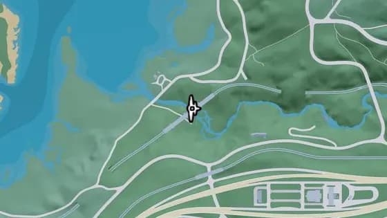
Under the Bridge: West Moreau Railroad North
Under the Bridge: West Moreau Railroad North is a flight stunt in MacAlister Gold Mine, Moreau. Fly under the railroad bridge over the river that links the north and south sections of the line.
Show on map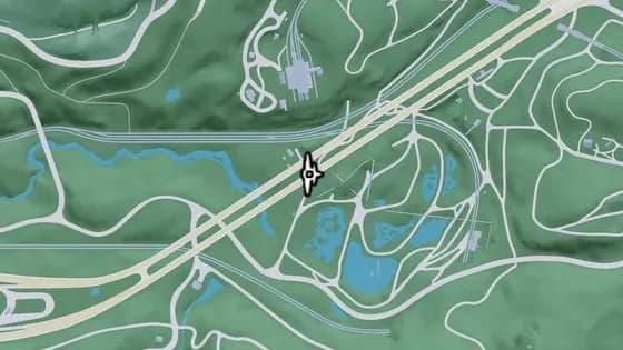
Under the Bridge: Macalister Gold Mine
Under the Bridge: Macalister Gold Mine is a flight stunt in MacAlister Gold Mine, Moreau. Fly under the bridge over the Macalister Gold Mine that links the east and west sections of US-628.
Show on map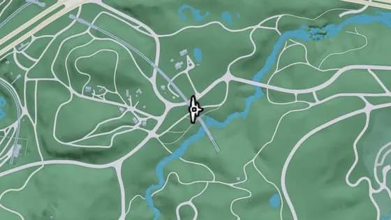
North Kalaga Bridge
North Kalaga Bridge is a flight stunt in Mount Kalaga National Park, Lummox County. Fly under the railroad bridge over a side road that links the north and south sections of the tracks in Mount Kalaga National Park.
Show on map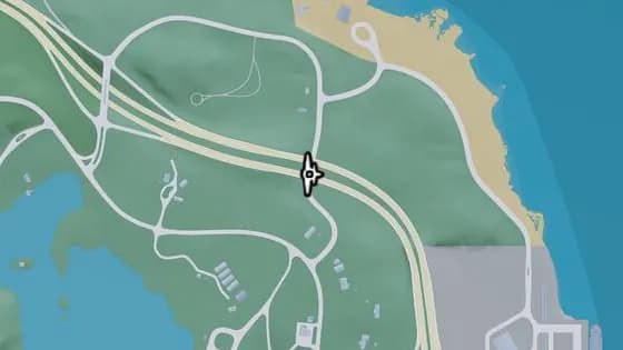
Under the Bridge: East Lummox County Overpass
Under the Bridge: East Lummox County Overpass is a flight stunt in East Lummox County. Fly under the bridge over Tidewater Dr that links the east and west sections of US-628.
Show on map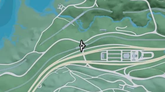
Under the Bridge: West Moreau Railroad South
Under the Bridge: West Moreau Railroad South is a flight stunt in South West Lummox County. Fly under the bridge over the road that links Forest Mill Rd and Rockledge Rd in Moreau.
Show on map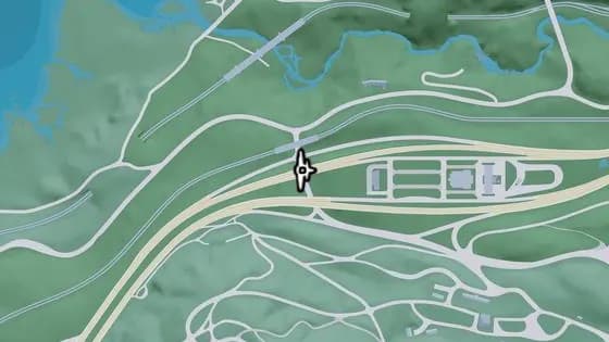
Under the Bridge: West Kalaga Overpass North
Under the Bridge: West Kalaga Overpass North is a flight stunt in MacAlister Gold Mine, Moreau. Fly under the bridge over the road that links Forest Mill Rd and Rockledge Rd in Mount Kalaga National Park.
Show on map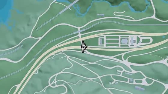
Under the Bridge: West Kalaga Overpass South
Under the Bridge: West Kalaga Overpass South is a flight stunt in Mount Kalaga National Park, Lummox County. Fly under the bridge over the road that links Forest Mill Rd and Rockledge Rd in Mount Kalaga National Park.
Show on map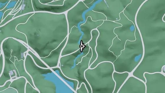
Under the Bridge: Kalaga River South
Under the Bridge: Kalaga River South is a flight stunt in Dawson Dam, Mount Kalaga National Park. Fly under the bridge that carries a hilly road over the Kalaga River in East Lummox County.
Show on map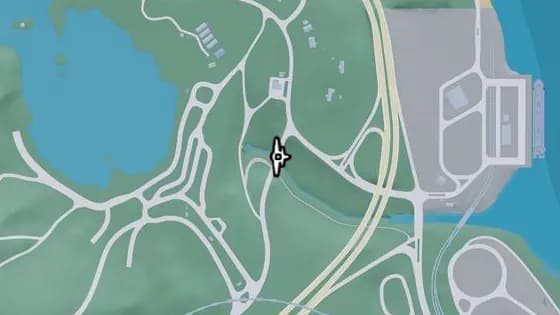
Under the Bridge: Tallaloko River
Under the Bridge: Tallaloko River is a flight stunt in East Lummox County. Fly under the bridge over the Tallaloko River that links the north and south sections of Bear Hollow Dr.
Show on map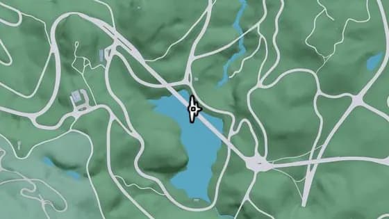
Under the Bridge: Kalaga Reservoir
Under the Bridge: Kalaga Reservoir is a flight stunt in Dawson Dam, Mount Kalaga National Park. Fly under the bridge over the Kalaga Reservoir that links the west and east sections of Forest Mill Rd.
Show on map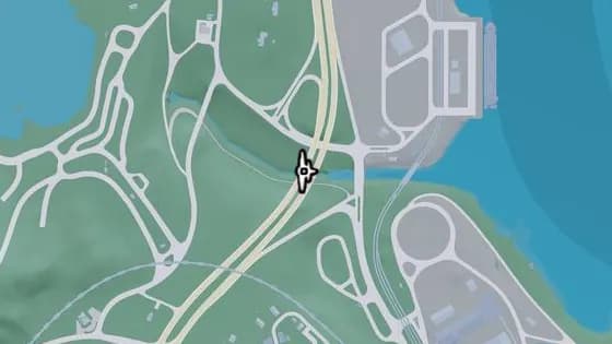
Under the Bridge: Millport Overpass
Under the Bridge: Millport Overpass is a flight stunt in Millport, Lummox County. Fly under the bridge over the Tallaloko River that links the north and south parts of Millport.
Show on map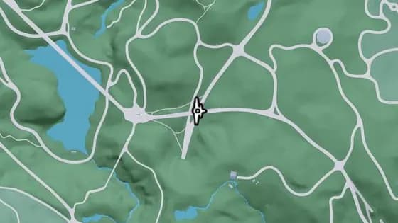
Under the Bridge: South Kalaga Overpass
Under the Bridge: South Kalaga Overpass is a flight stunt in Dawson Dam, Mount Kalaga National Park. Fly under the bridge over Tallaloko Lake Rd that links the east and west sections of Forest Mill Rd in Mount Kalaga National Park.
Show on map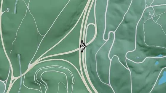
Under the Bridge: West Kalaga Overpass West
Under the Bridge: West Kalaga Overpass West is a flight stunt in Mount Kalaga National Park, Lummox County. Fly under the bridge over US-628 that links US-628 and SR-73 in Mount Kalaga National Park.
Show on map
More location types
- Collectibles
- Hidden packages1Collectible Cards95WAiNK Scans89Book swaps7Magazines29Standout vehicles85Basketball hoops100Unique playlists7Murals5
- Robberies
- Illegal operations43Banks22Payday loans7Smash 'n' Grabs36Fences13ATMs292Safes40Randy's wish list9Vehicles for Moses7
- Activities
- Gang compounds2Golf6Gyms9Random events5Nightclubs6Races53Shooting ranges15Drone races42Stunt jumps130BASE jumps25Fishing spots35Pool tables17Arcade machines31
- Properties
- Garages13Safehouses4
- Vehicles
- Gas stations62Car washes7Vehicle mod shops16Pay 'n' Spray19Public transport44EV chargers89Bus stops276Vehicle rentals2
- Weapons
- Ammu-Nation24
 Hidden packages
 Collectible Cards
 WAiNK Scans
 Book swaps
 Magazines
 Standout vehicles
 Basketball hoops
 Unique playlists
 Murals
 Illegal operations
 Banks
 Payday loans
 Smash 'n' Grabs
 Fences
 ATMs
 Safes
 Randy's wish list
 Vehicles for Moses
 Gang compounds
 Golf
 Gyms
 Random events
 Nightclubs
 Races
 Shooting ranges
 Drone races
 Stunt jumps
 BASE jumps
 Fishing spots
 Pool tables
 Arcade machines
 Garages
 Safehouses
 Gas stations
 Car washes
 Vehicle mod shops
 Pay 'n' Spray
 Public transport
 EV chargers
 Bus stops
 Vehicle rentals
 Ammu-Nation
 Clothing
 Footwear
 Hair & beauty
 Tattoo parlors
 Electronics
 Fast food
 Cafes & takeout
 Street food
 Bars
 Liquor stores
 Convenience stores
 Marinas
 Cinemas
 Cities & towns
 Fire stations
 Hospitals
 Landmarks
 Police stations
This list is based on actual gameplay since launch. Positions and descriptions will keep being updated as more places are discovered. About