GTA 6 map
Bus stops — GTA 6 locations
 Bus stops — GTA 6 locations
Every known location of this type on the GTA 6 map of Leonida (276 so far). Select a marker on the map, or pick a place from the list below to jump to it.
All locations in this category276
Vice City — Bus stops202
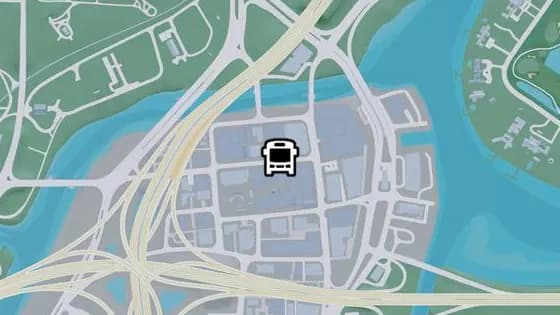
NE 19th St
NE 19th St is a bus stop in Decor District, Vice City. It is served by route 1024 (Salton to Decor District).
Show on map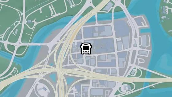
Crockett Ter
Crockett Ter is a bus stop in Decor District, Vice City. It is served by route 1029 (Southside to Washington Beach).
Show on map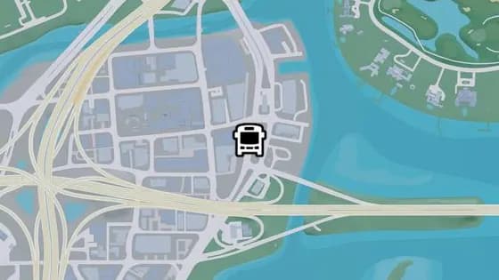
Catalan Blvd - U
Catalan Blvd - U is a bus stop in Decor District, Vice City. It is served by route 1029 (Southside to Washington Beach).
Show on map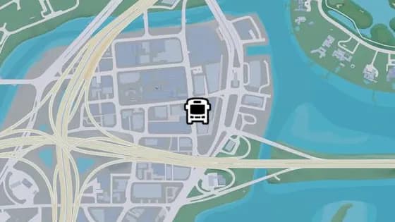
NE 6th Ave - C
NE 6th Ave - C is a bus stop in Decor District, Vice City. It is served by routes 1024 (Salton to Decor District) and 1029 (Southside to Washington Beach).
Show on map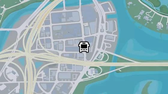
NE 6th Ave - B
NE 6th Ave - B is a bus stop in Decor District, Vice City. It is served by route 1618 (Decor District to Washington Beach).
Show on map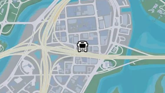
NE 17th St
NE 17th St is a bus stop in Decor District, Vice City. It is served by route 1024 (Salton to Decor District).
Show on map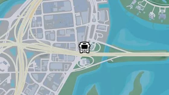
Catalan Blvd - T
Catalan Blvd - T is a bus stop in Decor District, Vice City. It is served by route 1029 (Southside to Washington Beach).
Show on map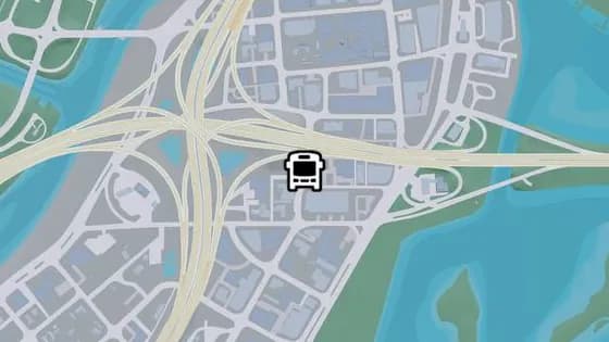
NE 5th Ave - F
NE 5th Ave - F is a bus stop in Stockyard, Vice City. It is served by routes 1024 (Salton to Decor District) and 1029 (Southside to Washington Beach).
Show on map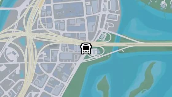
NE 6th Ave - A
NE 6th Ave - A is a bus stop in Stockyard, Vice City. It is served by route 1618 (Decor District to Washington Beach).
Show on map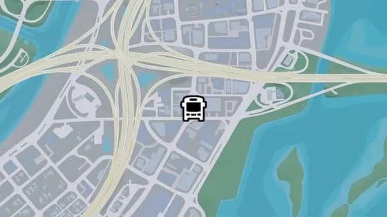
NE 5th Ave - E
NE 5th Ave - E is a bus stop in Stockyard, Vice City. It is served by route 1024 (Salton to Decor District).
Show on map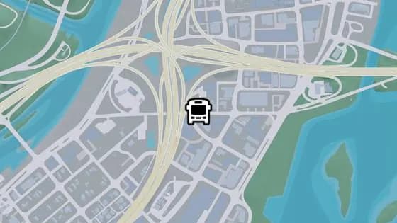
Coral Ave - B
Coral Ave - B is a bus stop in Stockyard, Vice City. It is served by route 1024 (Salton to Decor District).
Show on map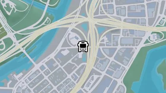
Coral Ave - A
Coral Ave - A is a bus stop in La Perle, Vice City. It is served by route 1024 (Salton to Decor District).
Show on map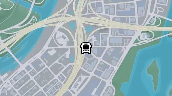
NW 4th St - B
NW 4th St - B is a bus stop in Stockyard, Vice City. It is served by route 1024 (Salton to Decor District).
Show on map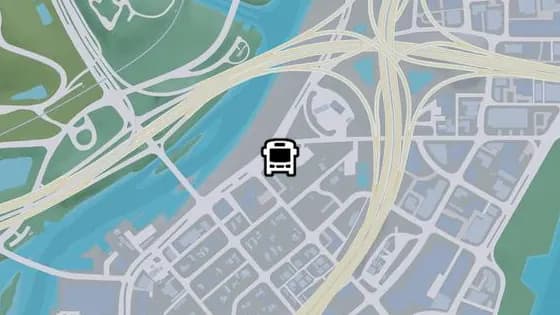
Del Rio Blvd - M
Del Rio Blvd - M is a bus stop in La Perle, Vice City. It is served by route 1024 (Salton to Decor District).
Show on map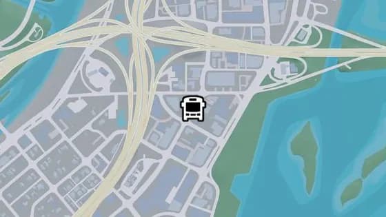
NE 5th Ave - D
NE 5th Ave - D is a bus stop in Stockyard, Vice City. It is served by route 1029 (Southside to Washington Beach).
Show on map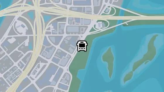
Catalan Blvd - S
Catalan Blvd - S is a bus stop in Bayside, Vice City. It is served by route 1618 (Decor District to Washington Beach).
Show on map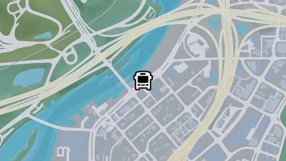
Del Rio Blvd - L
Del Rio Blvd - L is a bus stop in La Perle, Vice City. It is served by route 1024 (Salton to Decor District).
Show on map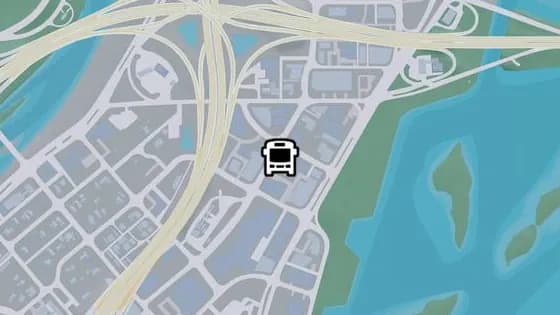
NE 5th Ave - C
NE 5th Ave - C is a bus stop in Stockyard, Vice City. It is served by route 1029 (Southside to Washington Beach).
Show on map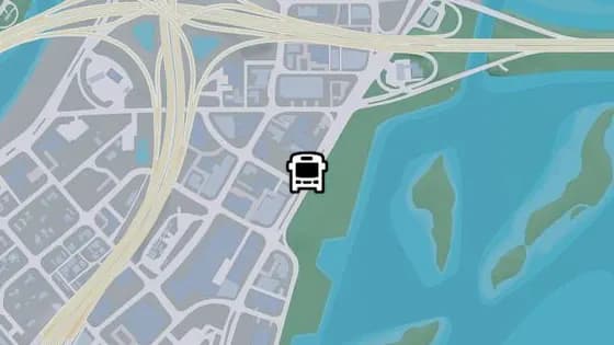
Catalan Blvd - R
Catalan Blvd - R is a bus stop in Stockyard, Vice City. It is served by route 1618 (Decor District to Washington Beach).
Show on map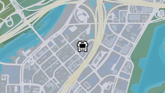
NE 14th St
NE 14th St is a bus stop in La Perle, Vice City. It is served by route LC (Crosstown to Little Cuba).
Show on map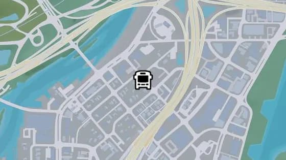
NW 13th St
NW 13th St is a bus stop in La Perle, Vice City. It is served by route LC (Crosstown to Little Cuba).
Show on map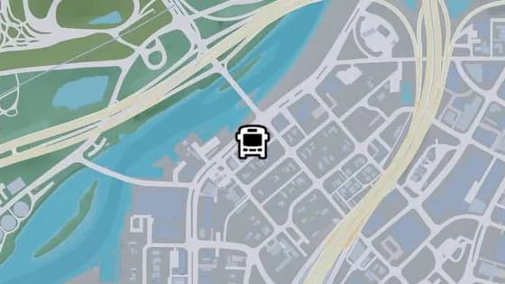
Del Rio Blvd - K
Del Rio Blvd - K is a bus stop in La Perle, Vice City. It is served by routes 1024 (Salton to Decor District) and LC (Crosstown to Little Cuba).
Show on map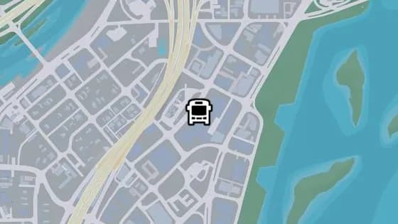
NE 5th Ave - A
NE 5th Ave - A is a bus stop in Bayside, Vice City. It is served by route 1029 (Southside to Washington Beach).
Show on map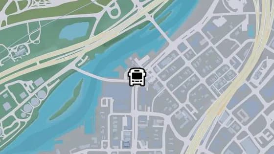
Del Rio Blvd - I
Del Rio Blvd - I is a bus stop in La Perle, Vice City. It is served by route LC (Crosstown to Little Cuba).
Show on map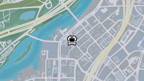
NW 12th St - A
NW 12th St - A is a bus stop in La Perle, Vice City. It is served by route 1024 (Salton to Decor District).
Show on map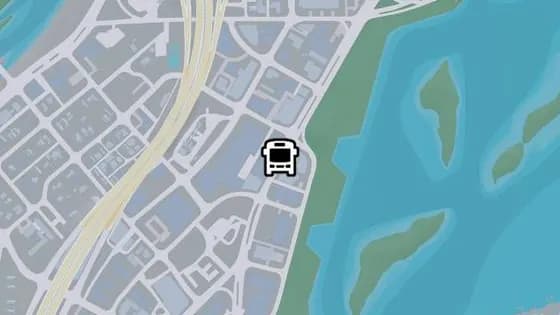
Catalan Blvd - Q
Catalan Blvd - Q is a bus stop in Bayside, Vice City. It is served by route 1618 (Decor District to Washington Beach).
Show on map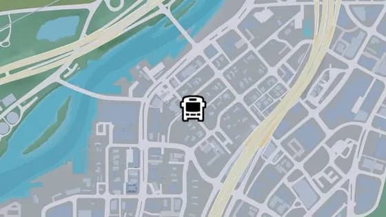
NW 12th St - B
NW 12th St - B is a bus stop in La Perle, Vice City. It is served by route 1024 (Salton to Decor District).
Show on map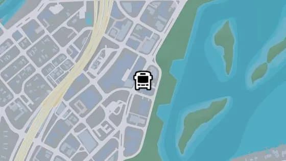
Catalan Blvd - P
Catalan Blvd - P is a bus stop in Bayside, Vice City. It is served by route 1618 (Decor District to Washington Beach).
Show on map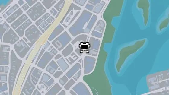
Catalan Blvd - O
Catalan Blvd - O is a bus stop in Bayside, Vice City. It is served by route 1618 (Decor District to Washington Beach).
Show on map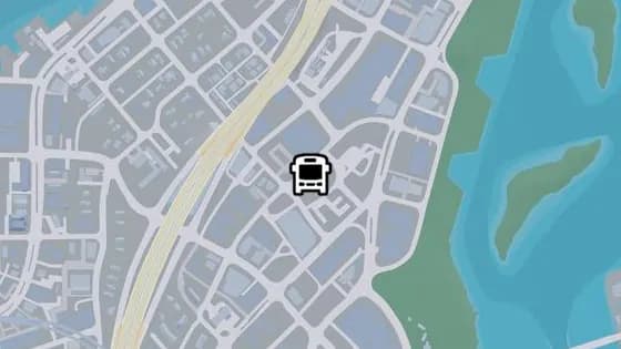
NE 4th Ave - B
NE 4th Ave - B is a bus stop in Bayside, Vice City. It is served by route 1029 (Southside to Washington Beach).
Show on map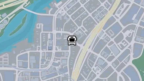
NW 9th Ave - E
NW 9th Ave - E is a bus stop in La Perle, Vice City. It is served by route 1024 (Salton to Decor District).
Show on map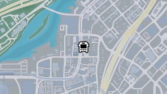
Del Rio Blvd - J
Del Rio Blvd - J is a bus stop in La Perle, Vice City. It is served by route LC (Crosstown to Little Cuba).
Show on map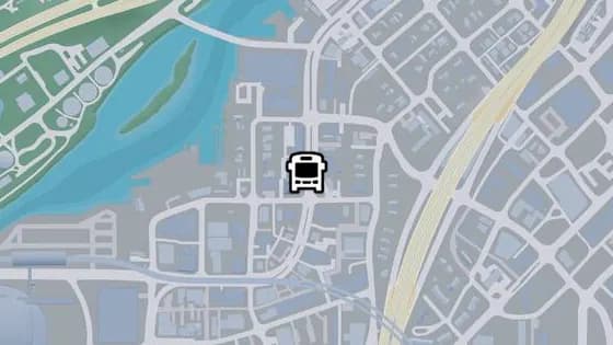
Del Rio Blvd - G
Del Rio Blvd - G is a bus stop in La Perle, Vice City. It is served by route LC (Crosstown to Little Cuba).
Show on map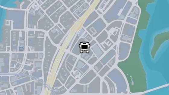
NE 4th Ave - A
NE 4th Ave - A is a bus stop in Crosstown, Vice City. It is served by route 1029 (Southside to Washington Beach).
Show on map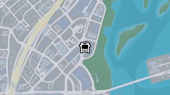
Catalan Blvd - N
Catalan Blvd - N is a bus stop in Bayside, Vice City. It is served by route 1618 (Decor District to Washington Beach).
Show on map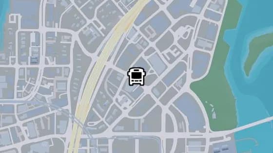
Mirimar Dr - A
Mirimar Dr - A is a bus stop in Crosstown, Vice City. It is served by route 1029 (Southside to Washington Beach).
Show on map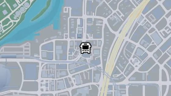
Del Rio Blvd - H
Del Rio Blvd - H is a bus stop in La Perle, Vice City. It is served by route LC (Crosstown to Little Cuba).
Show on map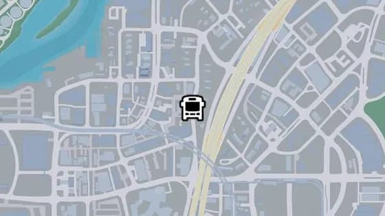
NW 9th Ave - D
NW 9th Ave - D is a bus stop in La Perle, Vice City. It is served by route 1024 (Salton to Decor District).
Show on map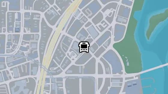
Mirimar Dr - B
Mirimar Dr - B is a bus stop in Crosstown, Vice City. It is served by route 1029 (Southside to Washington Beach).
Show on map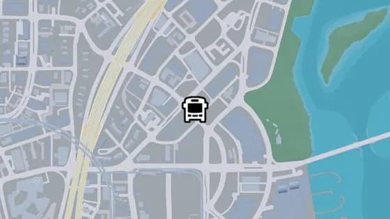
Mirimar Dr - C
Mirimar Dr - C is a bus stop in Bayside, Vice City. It is served by route 1029 (Southside to Washington Beach).
Show on map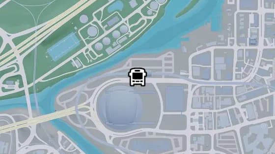
Del Rio Blvd - C
Del Rio Blvd - C is a bus stop in Rockridge, Vice City. It is served by route 1050 (Balsero to Washington Beach).
Show on map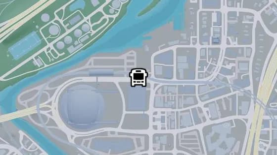
Del Rio Blvd - E
Del Rio Blvd - E is a bus stop in Rockridge, Vice City. It is served by route 1050 (Balsero to Washington Beach).
Show on map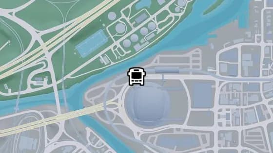
Del Rio Blvd - B
Del Rio Blvd - B is a bus stop in Rockridge, Vice City. It is served by route 1050 (Balsero to Washington Beach).
Show on map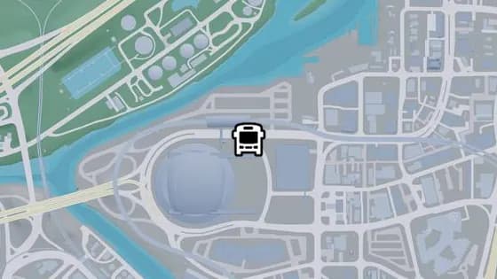
Del Rio Blvd - D
Del Rio Blvd - D is a bus stop in Rockridge, Vice City. It is served by routes 1071 (Rockridge to Virginia Key) and 1050 (Balsero to Washington Beach).
Show on map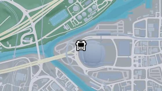
Del Rio Blvd - A
Del Rio Blvd - A is a bus stop in Rockridge, Vice City. It is served by routes 1071 (Rockridge to Virginia Key) and 1050 (Balsero to Washington Beach).
Show on map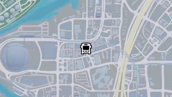
NW 8th Ave - B
NW 8th Ave - B is a bus stop in Rockridge, Vice City. It is served by route LC (Crosstown to Little Cuba).
Show on map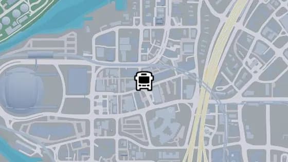
NW 8th Ave - A
NW 8th Ave - A is a bus stop in Rockridge, Vice City. It is served by routes 1024 (Salton to Decor District) and LC (Crosstown to Little Cuba).
Show on map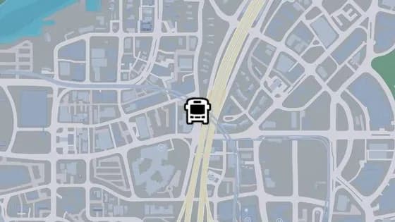
NW 9th Ave - B
NW 9th Ave - B is a bus stop in Rockridge, Vice City. It is served by route 1024 (Salton to Decor District).
Show on map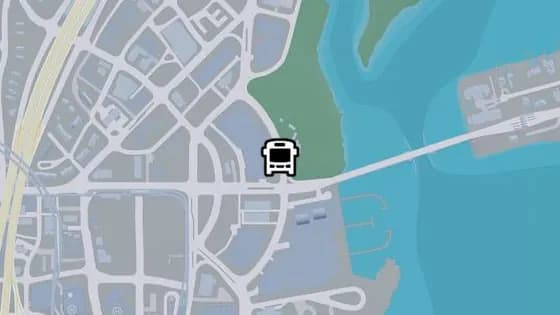
Delphino Cir - C
Delphino Cir - C is a bus stop in Bayside, Vice City. It is served by route 1618 (Decor District to Washington Beach).
Show on map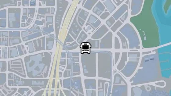
Rialto Cswy - G
Rialto Cswy - G is a bus stop in Crosstown, Vice City. It is served by route 1050 (Balsero to Washington Beach).
Show on map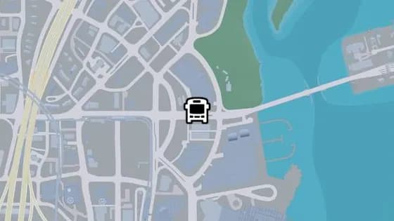
Rialto Cswy - K
Rialto Cswy - K is a bus stop in Bayside, Vice City. It is served by route 1050 (Balsero to Washington Beach).
Show on map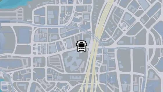
Rialto Cswy - E
Rialto Cswy - E is a bus stop in Rockridge, Vice City. It is served by routes 1071 (Rockridge to Virginia Key) and 1050 (Balsero to Washington Beach).
Show on map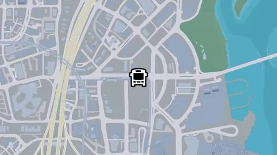
Rialto Cswy - I
Rialto Cswy - I is a bus stop in Crosstown, Vice City. It is served by route 1050 (Balsero to Washington Beach).
Show on map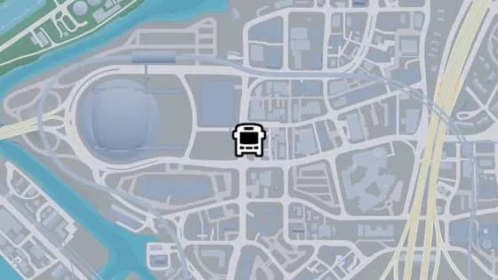
Northbrook Dr - E
Northbrook Dr - E is a bus stop in Rockridge, Vice City. It is served by route 1050 (Balsero to Washington Beach).
Show on map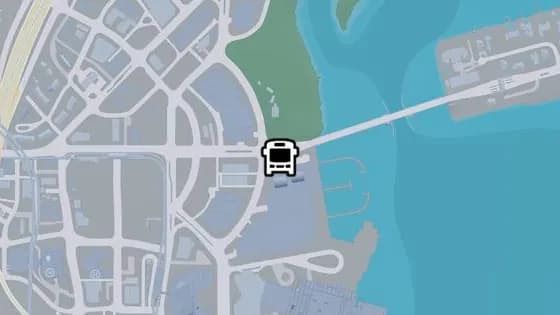
Rialto Cswy - L
Rialto Cswy - L is a bus stop in Bayside, Vice City. It is served by route 1050 (Balsero to Washington Beach).
Show on map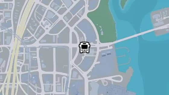
Rialto Cswy - J
Rialto Cswy - J is a bus stop in Bayside, Vice City. It is served by route 1050 (Balsero to Washington Beach).
Show on map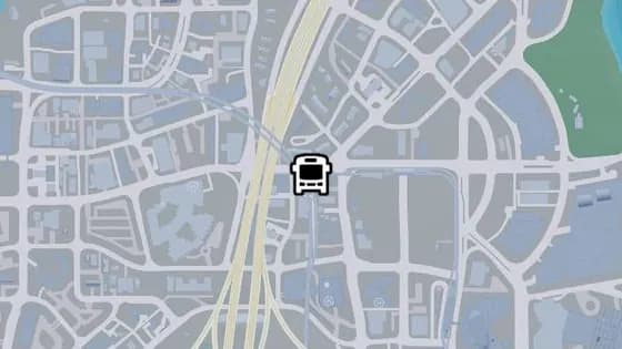
Rialto Cswy - F
Rialto Cswy - F is a bus stop in Crosstown, Vice City. It is served by route 1050 (Balsero to Washington Beach).
Show on map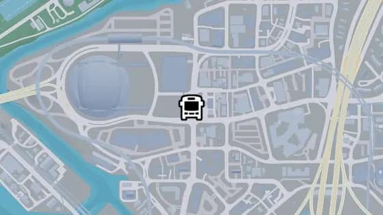
Northbrook Dr - D
Northbrook Dr - D is a bus stop in Rockridge, Vice City. It is served by routes 1071 (Rockridge to Virginia Key) and 1050 (Balsero to Washington Beach).
Show on map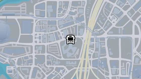
Rialto Cswy - D
Rialto Cswy - D is a bus stop in Rockridge, Vice City. It is served by routes 1071 (Rockridge to Virginia Key) and 1050 (Balsero to Washington Beach).
Show on map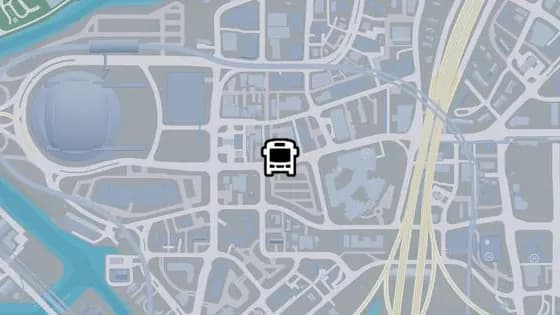
Rialto Cswy - C
Rialto Cswy - C is a bus stop in Rockridge, Vice City. It is served by routes 1071 (Rockridge to Virginia Key) and LC (Crosstown to Little Cuba) and 1050 (Balsero to Washington Beach).
Show on map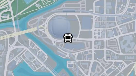
Rialto Cswy - A
Rialto Cswy - A is a bus stop in Rockridge, Vice City. It is served by routes 1071 (Rockridge to Virginia Key) and 420 (Rockridge to Peacock Bay).
Show on map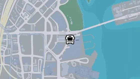
Delphino Cir - B
Delphino Cir - B is a bus stop in Bayside, Vice City. It is served by route 1618 (Decor District to Washington Beach).
Show on map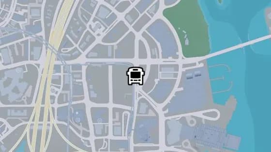
Catalan Blvd - M
Catalan Blvd - M is a bus stop in Crosstown, Vice City. It is served by route 1029 (Southside to Washington Beach).
Show on map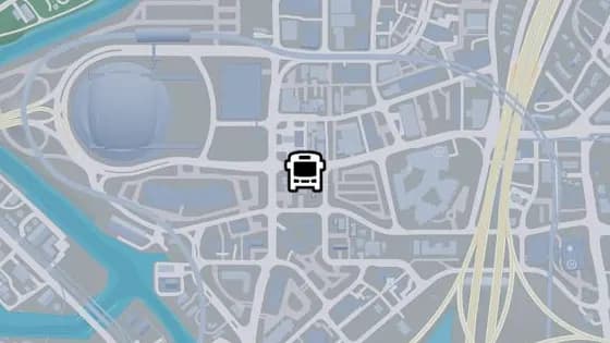
Rialto Cswy - B
Rialto Cswy - B is a bus stop in Rockridge, Vice City. It is served by routes 1024 (Salton to Decor District) and 1071 (Rockridge to Virginia Key) and 1050 (Balsero to Washington Beach).
Show on map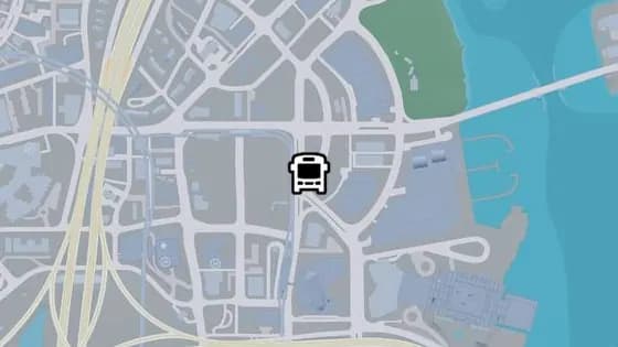
Catalan Blvd - L
Catalan Blvd - L is a bus stop in Bayside, Vice City. It is served by route 1029 (Southside to Washington Beach).
Show on map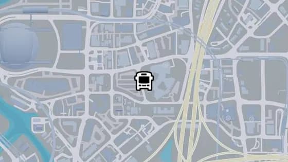
NW 6th Ave
NW 6th Ave is a bus stop in Rockridge, Vice City. It is served by route LC (Crosstown to Little Cuba).
Show on map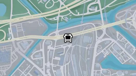
Omega Pkwy
Omega Pkwy is a bus stop in Balsero, Vice City. It is served by route 1032 (Balsero to Southside).
Show on map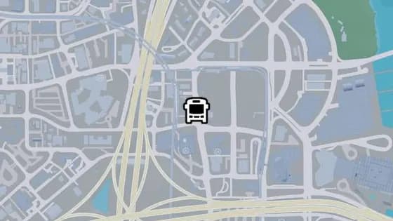
North Vice Ave - K
North Vice Ave - K is a bus stop in Crosstown, Vice City. It is served by route 1071 (Rockridge to Virginia Key).
Show on map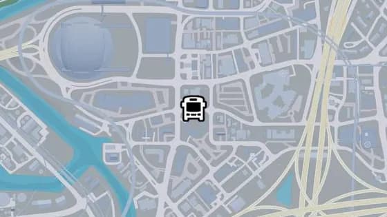
NW 9th St - A
NW 9th St - A is a bus stop in Rockridge, Vice City. It is served by route 1024 (Salton to Decor District).
Show on map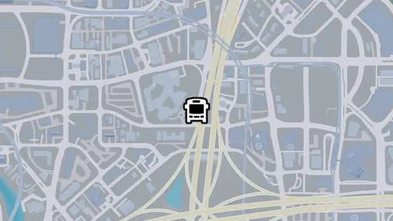
NW 9th Ave - A
NW 9th Ave - A is a bus stop in Rockridge, Vice City. It is served by route 1024 (Salton to Decor District).
Show on map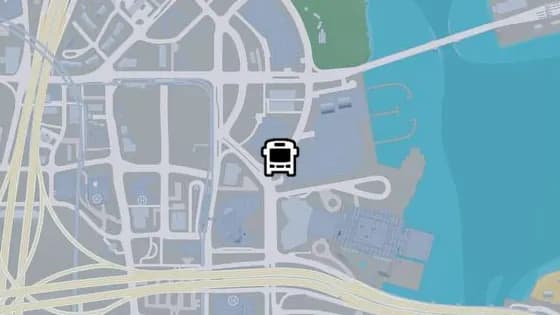
Delphino Cir - A
Delphino Cir - A is a bus stop in Bayside, Vice City. It is served by route 1618 (Decor District to Washington Beach).
Show on map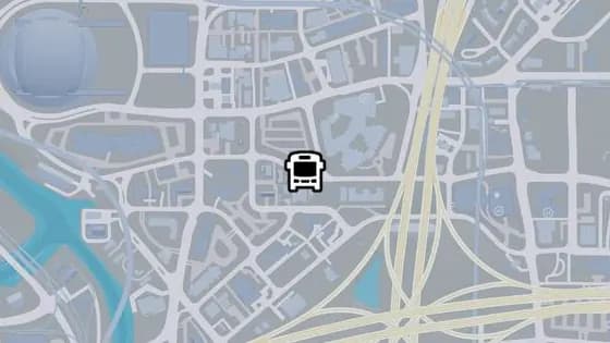
NW 9th St - B
NW 9th St - B is a bus stop in Rockridge, Vice City. It is served by route 1024 (Salton to Decor District).
Show on map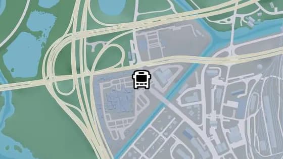
SR-25 - A
SR-25 - A is a bus stop in Balsero, Vice City. It is served by route 1050 (Balsero to Washington Beach).
Show on map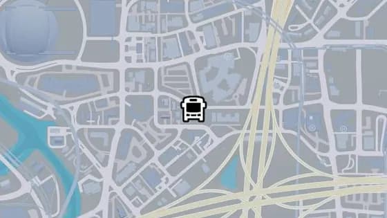
NW 9th St - C
NW 9th St - C is a bus stop in Rockridge, Vice City. It is served by routes 1024 (Salton to Decor District) and LC (Crosstown to Little Cuba).
Show on map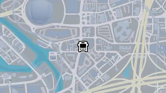
Northbrook Dr - C
Northbrook Dr - C is a bus stop in Rockridge, Vice City. It is served by routes 1024 (Salton to Decor District) and 420 (Rockridge to Peacock Bay).
Show on map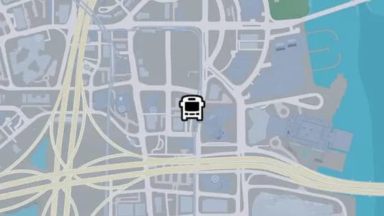
NE 1st Ave - E
NE 1st Ave - E is a bus stop in Crosstown, Vice City. It is served by routes Keys Loop and State Loop.
Show on map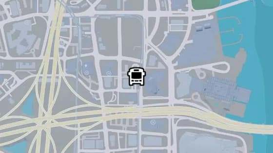
NE 1st Ave - D
NE 1st Ave - D is a bus stop in Crosstown, Vice City. It is served by the State Loop route.
Show on map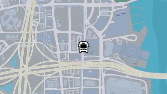
NE 1st Ave - B
NE 1st Ave - B is a bus stop in Crosstown, Vice City. It is served by route 1029 (Southside to Washington Beach).
Show on map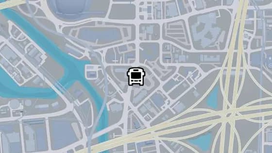
Northbrook Dr - B
Northbrook Dr - B is a bus stop in Rockridge, Vice City. It is served by routes 1024 (Salton to Decor District) and 420 (Rockridge to Peacock Bay).
Show on map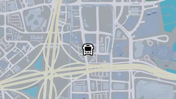
North Vice Ave - I
North Vice Ave - I is a bus stop in Crosstown, Vice City. It is served by route 1071 (Rockridge to Virginia Key).
Show on map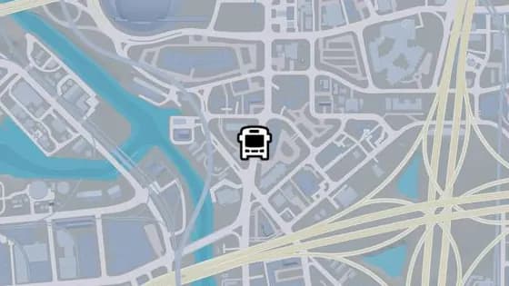
Northbrook Dr - A
Northbrook Dr - A is a bus stop in Rockridge, Vice City. It is served by route 1024 (Salton to Decor District).
Show on map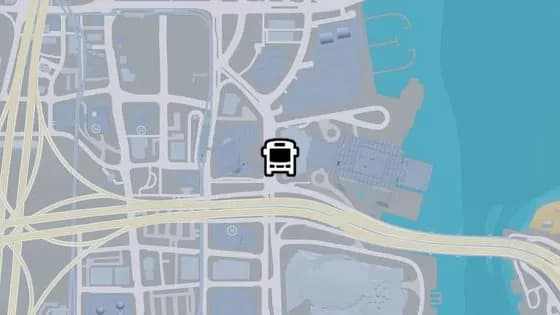
Catalan Blvd - K
Catalan Blvd - K is a bus stop in Panos Plaza, Bayside. It is served by route 1618 (Decor District to Washington Beach).
Show on map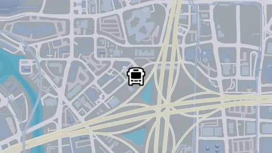
NW 8th St - B
NW 8th St - B is a bus stop in Rockridge, Vice City. It is served by route LC (Crosstown to Little Cuba).
Show on map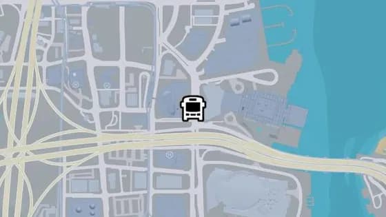
Catalan Blvd - J
Catalan Blvd - J is a bus stop in Bayside, Vice City. It is served by route 1618 (Decor District to Washington Beach).
Show on map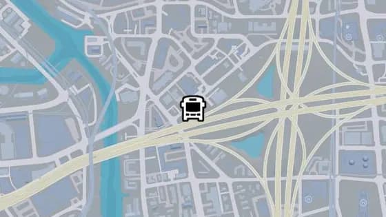
NW 8th St - A
NW 8th St - A is a bus stop in Rockridge, Vice City. It is served by route LC (Crosstown to Little Cuba).
Show on map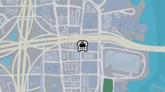
NE 1st Ave - A
NE 1st Ave - A is a bus stop in Downtown, Vice City. It is served by route 1029 (Southside to Washington Beach).
Show on map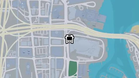
Catalan Blvd - I
Catalan Blvd - I is a bus stop in Downtown, Vice City. It is served by routes 1618 (Decor District to Washington Beach) and N02 (VCIA to Washington Beach).
Show on map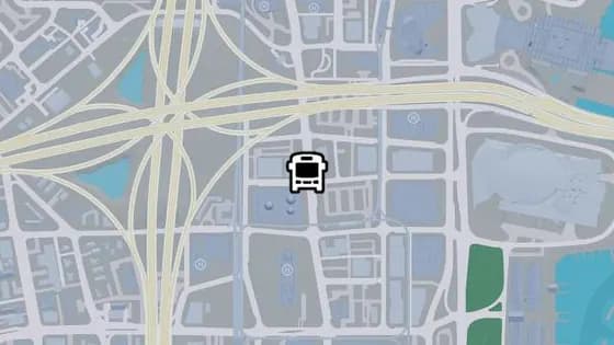
North Vice Ave - G
North Vice Ave - G is a bus stop in Downtown, Vice City. It is served by route 1071 (Rockridge to Virginia Key).
Show on map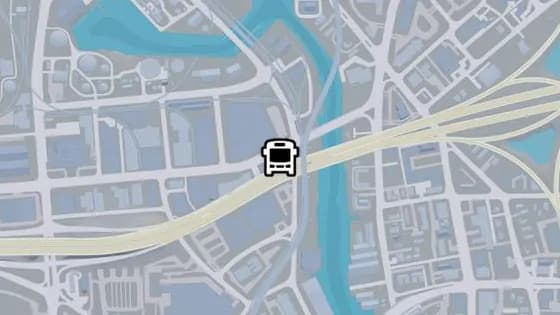
NW 17th St - D
NW 17th St - D is a bus stop in Balsero, Vice City. It is served by route A55 (Downtown to Balsero).
Show on map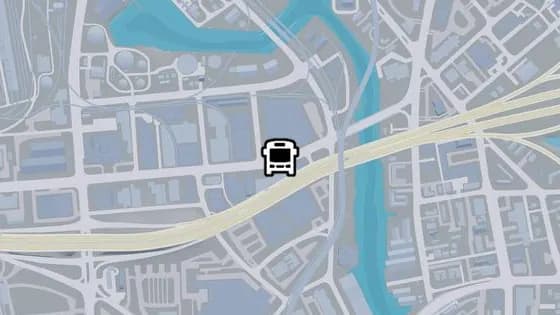
NW 17th St - C
NW 17th St - C is a bus stop in Balsero, Vice City. It is served by route A55 (Downtown to Balsero).
Show on map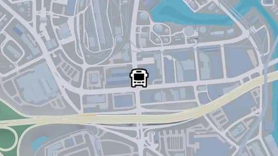
SR-25 - B
SR-25 - B is a bus stop in Balsero, Vice City. It is served by route 1050 (Balsero to Washington Beach).
Show on map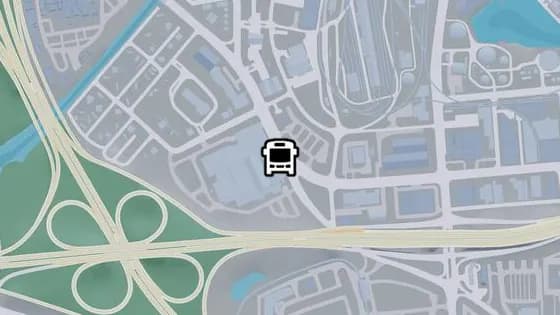
NW 15th Ave - A
NW 15th Ave - A is a bus stop in Balsero, Vice City. It is served by routes A55 (Downtown to Balsero) and 1050 (Balsero to Washington Beach).
Show on map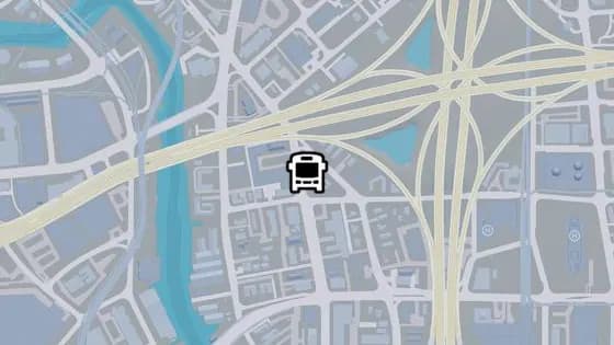
NW 4th Ave - I
NW 4th Ave - I is a bus stop in Little Cuba, Vice City. It is served by route 420 (Rockridge to Peacock Bay).
Show on map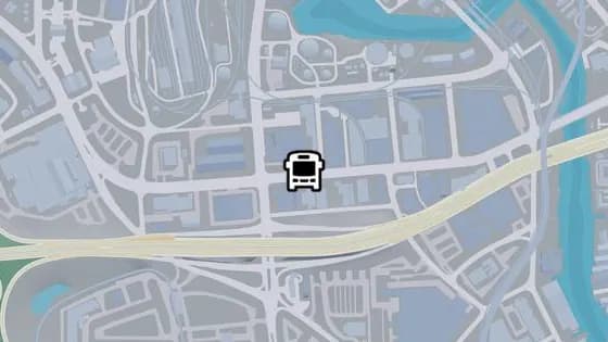
NW 17th St - B
NW 17th St - B is a bus stop in Balsero, Vice City. It is served by route A55 (Downtown to Balsero).
Show on map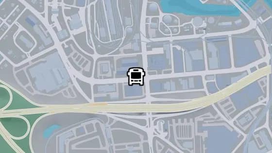
NW 17th St - A
NW 17th St - A is a bus stop in Balsero, Vice City. It is served by route A55 (Downtown to Balsero).
Show on map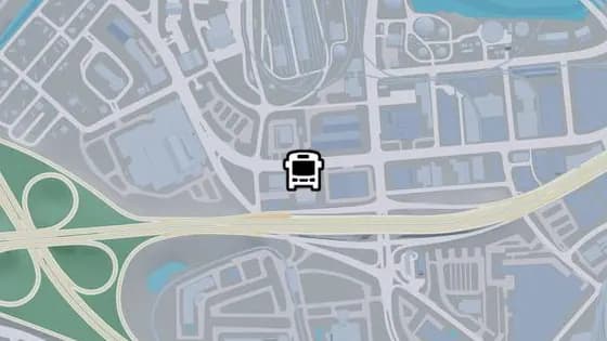
NW 15th Ave - B
NW 15th Ave - B is a bus stop in Balsero, Vice City. It is served by routes A55 (Downtown to Balsero) and 1050 (Balsero to Washington Beach).
Show on map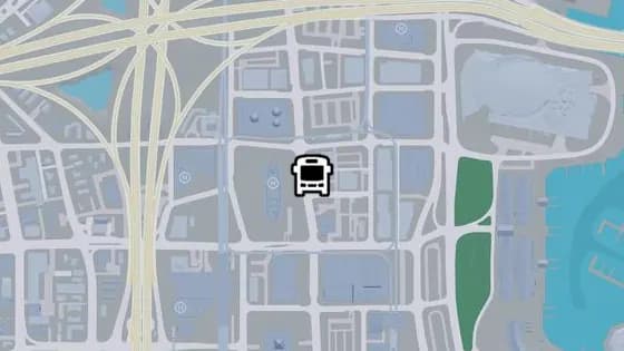
North Vice Ave - F
North Vice Ave - F is a bus stop in Downtown, Vice City. It is served by route 1071 (Rockridge to Virginia Key).
Show on map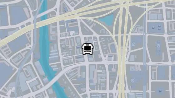
NW 4th Ave - G
NW 4th Ave - G is a bus stop in Little Cuba, Vice City. It is served by route 420 (Rockridge to Peacock Bay).
Show on map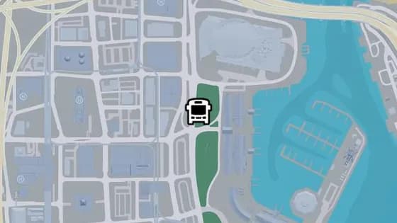
Catalan Blvd - H
Catalan Blvd - H is a bus stop in Downtown, Vice City. It is served by routes 1618 (Decor District to Washington Beach) and N02 (VCIA to Washington Beach).
Show on map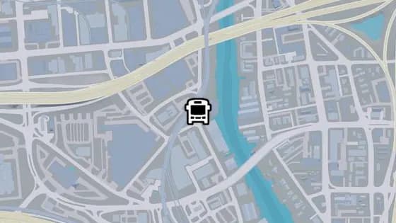
Westbrook Dr - I
Westbrook Dr - I is a bus stop in Salton, Vice City. It is served by routes 1024 (Salton to Decor District) and 1032 (Balsero to Southside).
Show on map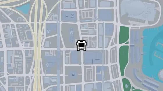
North Vice Ave - E
North Vice Ave - E is a bus stop in Downtown, Vice City. It is served by route 1071 (Rockridge to Virginia Key).
Show on map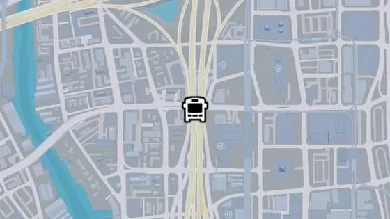
NW 3rd St - C
NW 3rd St - C is a bus stop in Downtown, Vice City. It is served by route A55 (Downtown to Balsero).
Show on map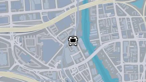
NW 19th St - C
NW 19th St - C is a bus stop in Salton, Vice City. It is served by route A55 (Downtown to Balsero).
Show on map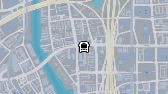
NW 3rd St - B
NW 3rd St - B is a bus stop in Little Cuba, Vice City. It is served by route A55 (Downtown to Balsero).
Show on map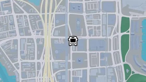
NW 1st Ave - B
NW 1st Ave - B is a bus stop in Downtown, Vice City. It is served by route A55 (Downtown to Balsero).
Show on map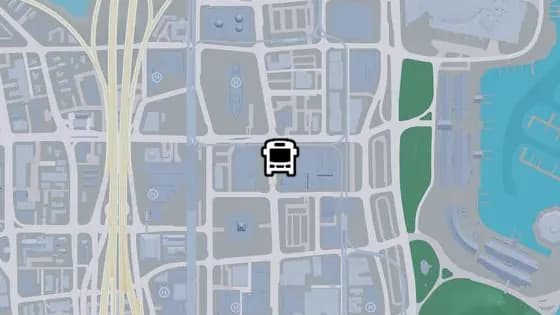
North Vice Ave - D
North Vice Ave - D is a bus stop in Downtown, Vice City. It is served by route 1071 (Rockridge to Virginia Key).
Show on map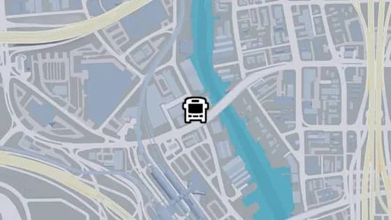
Westbrook Dr - H
Westbrook Dr - H is a bus stop in Salton, Vice City. It is served by routes 1024 (Salton to Decor District) and 1032 (Balsero to Southside).
Show on map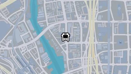
NW 4th Ave - F
NW 4th Ave - F is a bus stop in Little Cuba, Vice City. It is served by route 420 (Rockridge to Peacock Bay).
Show on map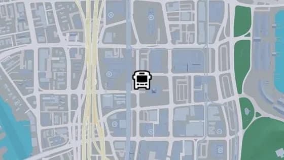
NW 1st Ave - A
NW 1st Ave - A is a bus stop in Downtown, Vice City. It is served by route A55 (Downtown to Balsero).
Show on map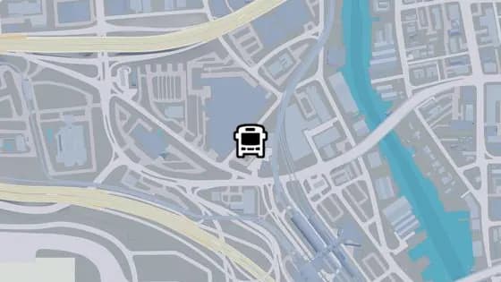
NW 19th St - B
NW 19th St - B is a bus stop in Salton, Vice City. It is served by route A55 (Downtown to Balsero).
Show on map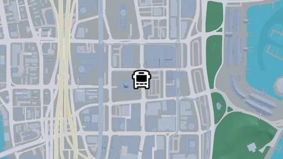
North Vice Ave - C
North Vice Ave - C is a bus stop in Downtown, Vice City. It is served by route 1071 (Rockridge to Virginia Key).
Show on map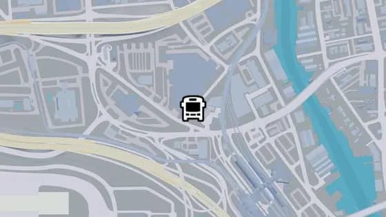
NW 19th St - A
NW 19th St - A is a bus stop in Salton, Vice City. It is served by route A55 (Downtown to Balsero).
Show on map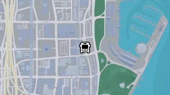
Catalan Blvd - G
Catalan Blvd - G is a bus stop in Downtown, Vice City. It is served by routes 1029 (Southside to Washington Beach) and 1618 (Decor District to Washington Beach) and A55 (Downtown to Balsero) and N02 (VCIA to Washington Beach).
Show on map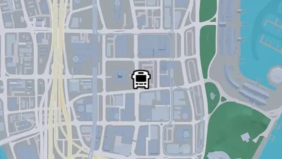
North Vice Ave - B
North Vice Ave - B is a bus stop in Downtown, Vice City. It is served by route 1071 (Rockridge to Virginia Key).
Show on map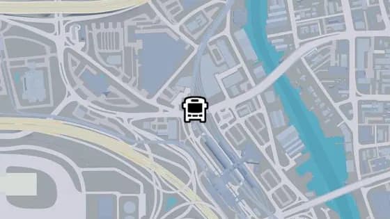
SR-25 - C
SR-25 - C is a bus stop in Salton, Vice City. It is served by routes A55 (Downtown to Balsero) and 69 (Salton to Port Vice City).
Show on map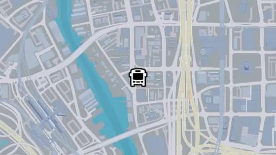
NW 4th Ave - E
NW 4th Ave - E is a bus stop in Little Cuba, Vice City. It is served by route 420 (Rockridge to Peacock Bay).
Show on map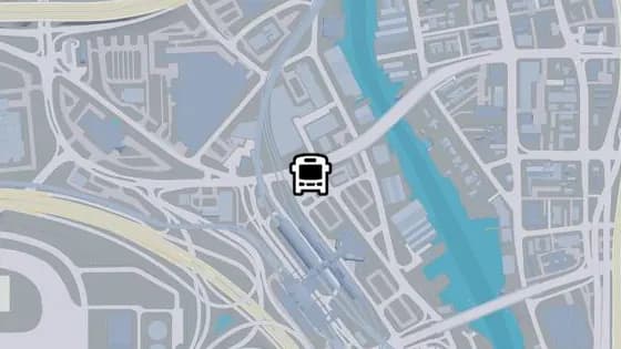
SR-25 - E
SR-25 - E is a bus stop in Salton, Vice City. It is served by route A55 (Downtown to Balsero).
Show on map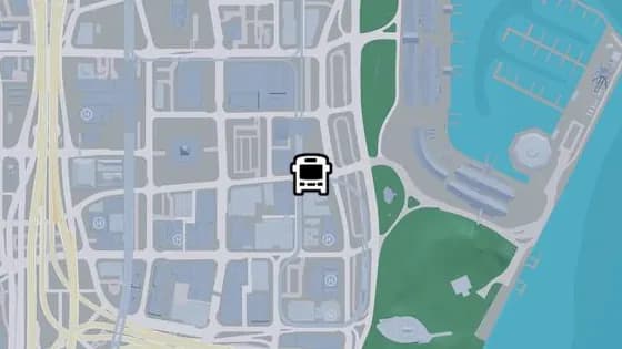
NE 1st St - B
NE 1st St - B is a bus stop in Downtown, Vice City. It is served by routes A55 (Downtown to Balsero) and N02 (VCIA to Washington Beach).
Show on map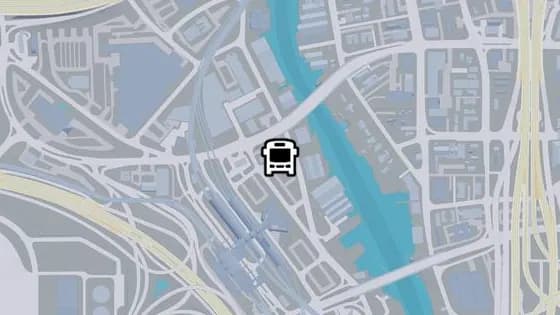
NW 20th St - B
NW 20th St - B is a bus stop in Salton, Vice City. It is served by route 1032 (Balsero to Southside).
Show on map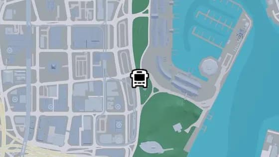
Catalan Blvd - F
Catalan Blvd - F is a bus stop in Downtown, Vice City. It is served by route N02 (VCIA to Washington Beach).
Show on map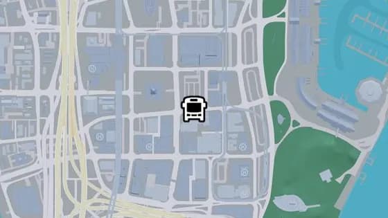
NE 1st St - A
NE 1st St - A is a bus stop in Downtown, Vice City. It is served by route A55 (Downtown to Balsero).
Show on map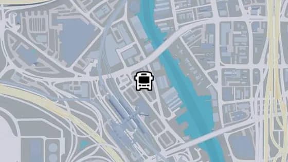
NW 20th St - A
NW 20th St - A is a bus stop in Salton, Vice City. It is served by routes 1024 (Salton to Decor District) and 1032 (Balsero to Southside).
Show on map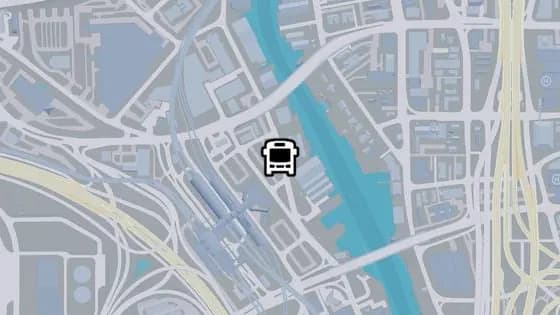
Westbrook Dr - G
Westbrook Dr - G is a bus stop in Salton, Vice City. It is served by route 1024 (Salton to Decor District).
Show on map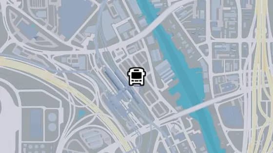
NW 16th Ave - A
NW 16th Ave - A is a bus stop in Salton, Vice City. It is served by route 69 (Salton to Port Vice City).
Show on map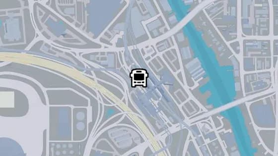
NW 18th Ave - B
NW 18th Ave - B is a bus stop in Salton, Vice City. It is served by the State Loop route.
Show on map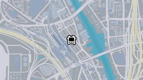
NW 16th Ave - B
NW 16th Ave - B is a bus stop in Salton, Vice City. It is served by route 1024 (Salton to Decor District).
Show on map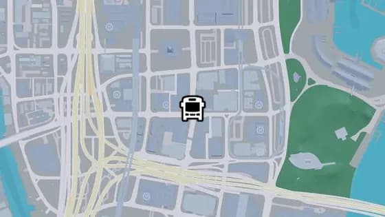
North Vice Ave - A
North Vice Ave - A is a bus stop in Downtown, Vice City. It is served by routes 1071 (Rockridge to Virginia Key) and N02 (VCIA to Washington Beach).
Show on map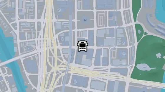
West Royale St - F
West Royale St - F is a bus stop in Downtown, Vice City. It is served by route N02 (VCIA to Washington Beach).
Show on map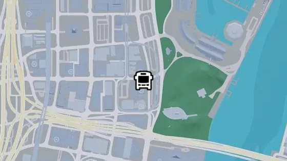
East Royale St
East Royale St is a bus stop in Downtown, Vice City. It is served by route N02 (VCIA to Washington Beach).
Show on map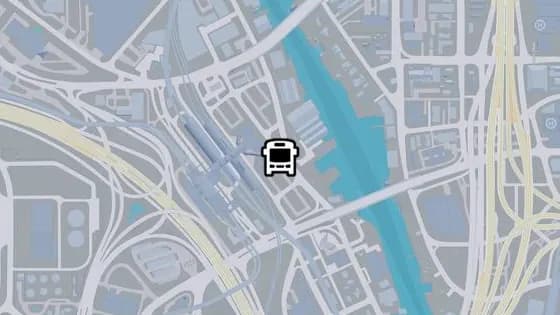
NW 16th Ave - C
NW 16th Ave - C is a bus stop in Salton, Vice City. It is served by route 1032 (Balsero to Southside).
Show on map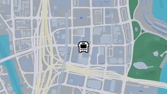
West Royale St - G
West Royale St - G is a bus stop in Downtown, Vice City. It is served by route N02 (VCIA to Washington Beach).
Show on map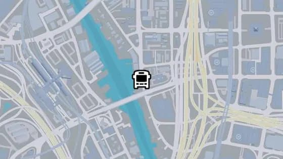
NW 4th Ave - D
NW 4th Ave - D is a bus stop in Little Cuba, Vice City. It is served by route 420 (Rockridge to Peacock Bay).
Show on map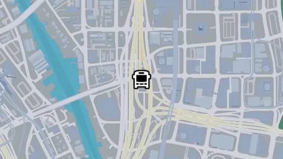
I-97 - B
I-97 - B is a bus stop in Downtown, Vice City. It is served by route N02 (VCIA to Washington Beach).
Show on map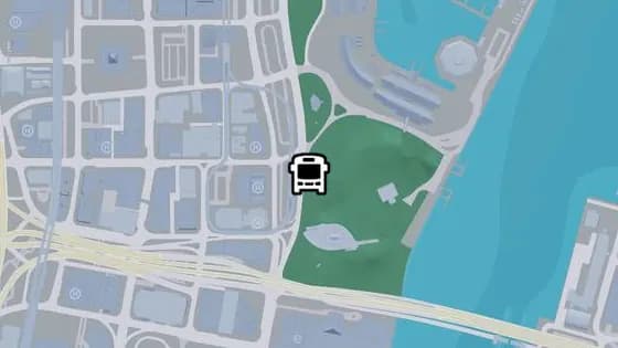
Catalan Blvd - E
Catalan Blvd - E is a bus stop in Downtown, Vice City. It is served by route 1029 (Southside to Washington Beach).
Show on map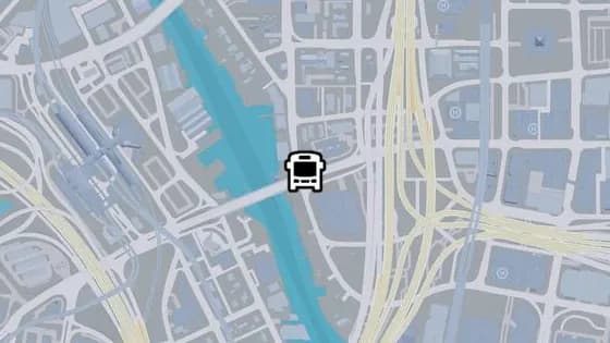
NW 4th Ave - C
NW 4th Ave - C is a bus stop in Little Cuba, Vice City. It is served by route 420 (Rockridge to Peacock Bay).
Show on map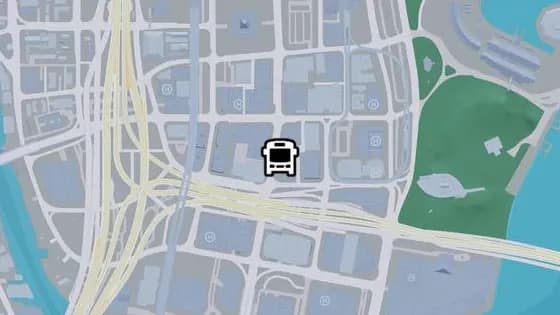
South Vice Ave - J
South Vice Ave - J is a bus stop in Downtown, Vice City. It is served by route 1071 (Rockridge to Virginia Key).
Show on map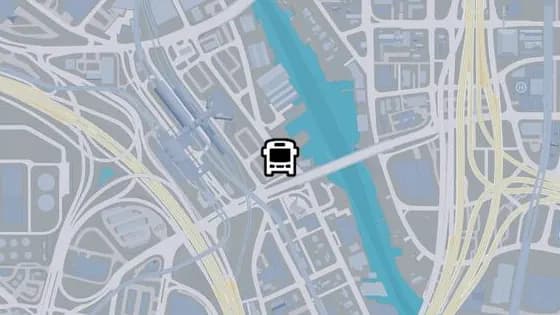
Westbrook Dr - F
Westbrook Dr - F is a bus stop in Salton, Vice City. It is served by route 1032 (Balsero to Southside).
Show on map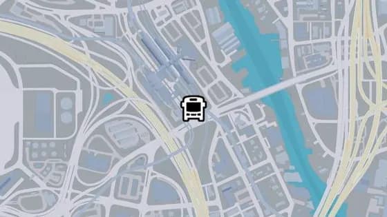
NW 18th Ave - A
NW 18th Ave - A is a bus stop in Salton, Vice City. It is served by route Keys Loop.
Show on map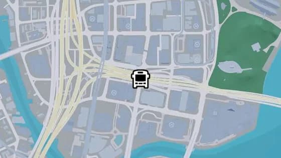
Mariner's Hwy - A
Mariner's Hwy - A is a bus stop in Downtown, Vice City. It is served by routes 1071 (Rockridge to Virginia Key) and A55 (Downtown to Balsero).
Show on map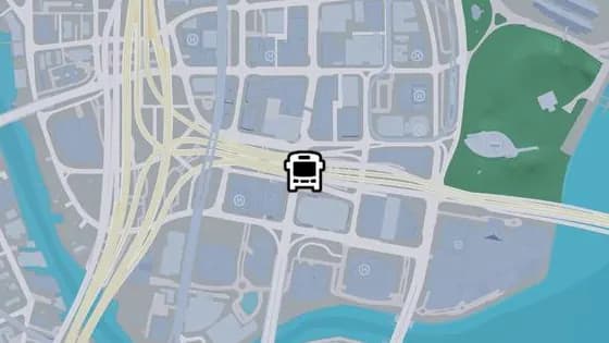
Mariner's Hwy - B
Mariner's Hwy - B is a bus stop in Downtown, Vice City. It is served by route A55 (Downtown to Balsero).
Show on map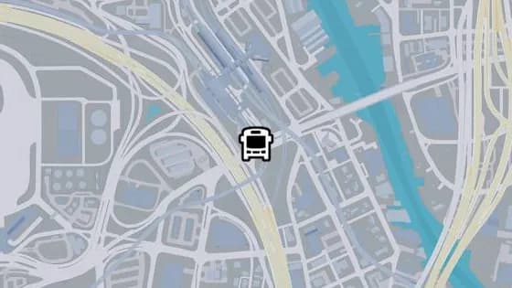
West Royale St - C
West Royale St - C is a bus stop in Salton, Vice City. It is served by route N02 (VCIA to Washington Beach).
Show on map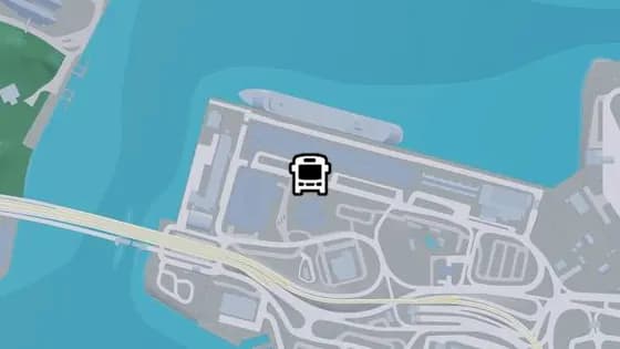
Gulf St
Gulf St is a bus stop in Port VC, Vice City. It is served by route 69 (Salton to Port Vice City).
Show on map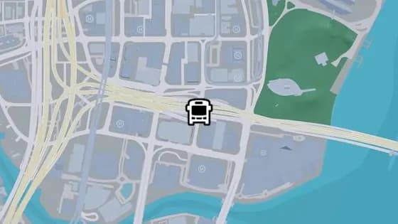
NE Vice Ct
NE Vice Ct is a bus stop in Downtown, Vice City. It is served by route A55 (Downtown to Balsero).
Show on map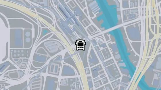
West Royale St - D
West Royale St - D is a bus stop in Salton, Vice City. It is served by route 69 (Salton to Port Vice City).
Show on map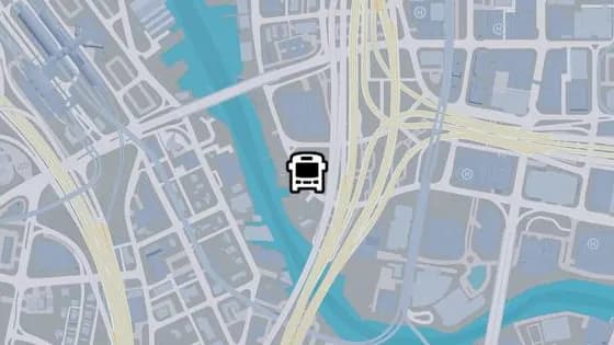
NW 4th Ave - B
NW 4th Ave - B is a bus stop in Little Cuba, Vice City. It is served by route 420 (Rockridge to Peacock Bay).
Show on map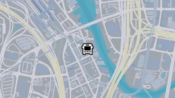
Westbrook Dr - E
Westbrook Dr - E is a bus stop in Salton, Vice City. It is served by route 1032 (Balsero to Southside).
Show on map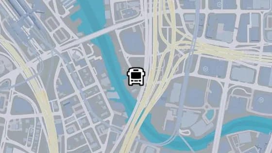
NW 4th Ave - A
NW 4th Ave - A is a bus stop in Little Cuba, Vice City. It is served by route 420 (Rockridge to Peacock Bay).
Show on map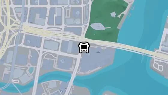
Catalan Blvd - D
Catalan Blvd - D is a bus stop in Downtown, Vice City. It is served by route 1029 (Southside to Washington Beach).
Show on map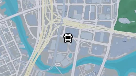
SW 2nd St - A
SW 2nd St - A is a bus stop in Downtown, Vice City. It is served by route 420 (Rockridge to Peacock Bay).
Show on map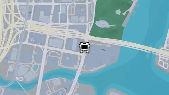
Catalan Blvd - C
Catalan Blvd - C is a bus stop in Downtown, Vice City. It is served by route 1029 (Southside to Washington Beach).
Show on map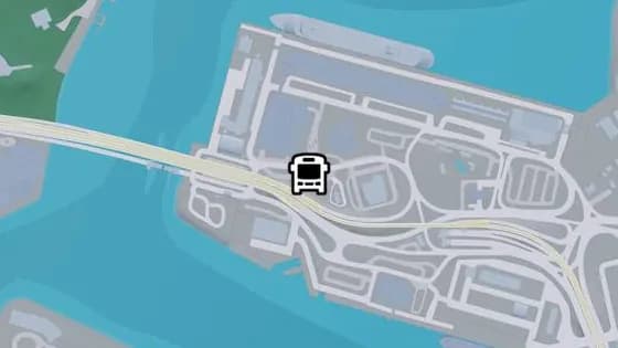
Basin Dr
Basin Dr is a bus stop in Port VC, Vice City. It is served by route 69 (Salton to Port Vice City).
Show on map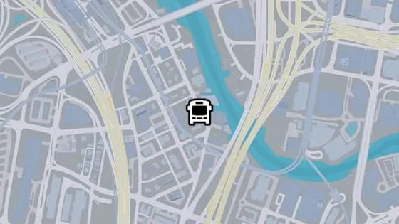
Westbrook Dr - D
Westbrook Dr - D is a bus stop in Salton, Vice City. It is served by route 1032 (Balsero to Southside).
Show on map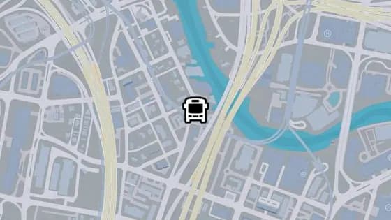
Westbrook Dr - C
Westbrook Dr - C is a bus stop in Salton, Vice City. It is served by route 1032 (Balsero to Southside).
Show on map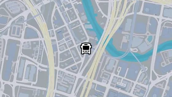
Westbrook Dr - B
Westbrook Dr - B is a bus stop in Salton, Vice City. It is served by route 1032 (Balsero to Southside).
Show on map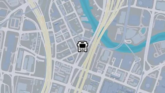
Westbrook Dr - A
Westbrook Dr - A is a bus stop in Salton, Vice City. It is served by route 1032 (Balsero to Southside).
Show on map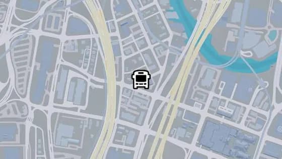
SW 16th St
SW 16th St is a bus stop in Salton, Vice City. It is served by route 1032 (Balsero to Southside).
Show on map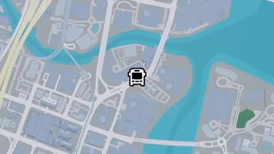
Catalan Blvd - B
Catalan Blvd - B is a bus stop in Tequesta, Vice City. It is served by route 1029 (Southside to Washington Beach).
Show on map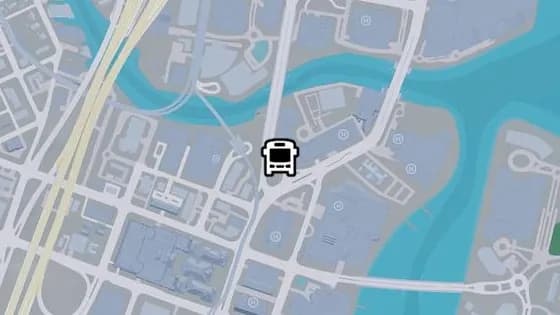
South Vice Ave - I
South Vice Ave - I is a bus stop in Tequesta, Vice City. It is served by routes 1071 (Rockridge to Virginia Key) and 420 (Rockridge to Peacock Bay).
Show on map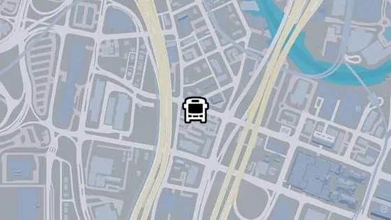
Bayside Dr
Bayside Dr is a bus stop in Salton, Vice City. It is served by route 1032 (Balsero to Southside).
Show on map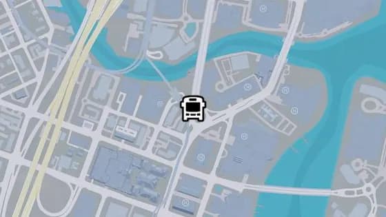
South Vice Ave - H
South Vice Ave - H is a bus stop in Tequesta, Vice City. It is served by routes 1071 (Rockridge to Virginia Key) and 420 (Rockridge to Peacock Bay).
Show on map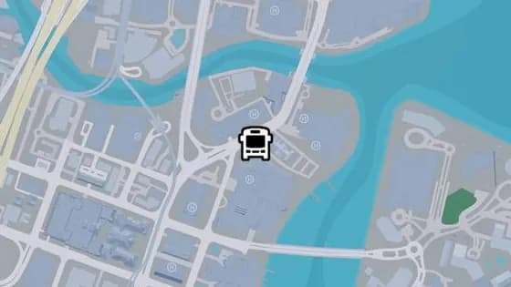
Catalan Blvd - A
Catalan Blvd - A is a bus stop in Tequesta, Vice City. It is served by route 1029 (Southside to Washington Beach).
Show on map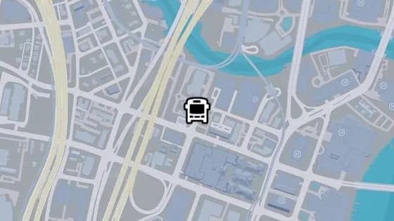
SW 4th Ave - B
SW 4th Ave - B is a bus stop in Tequesta, Vice City. It is served by route 420 (Rockridge to Peacock Bay).
Show on map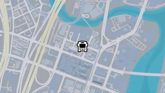
SW 3rd St - A
SW 3rd St - A is a bus stop in Tequesta, Vice City. It is served by route 420 (Rockridge to Peacock Bay).
Show on map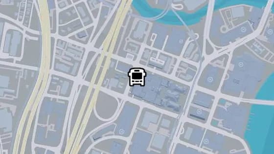
SW 4th Ave - A
SW 4th Ave - A is a bus stop in Tequesta, Vice City. It is served by route 420 (Rockridge to Peacock Bay).
Show on map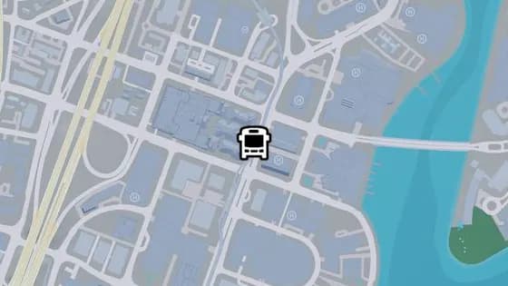
South Vice Ave - G
South Vice Ave - G is a bus stop in Tequesta, Vice City. It is served by routes 1071 (Rockridge to Virginia Key) and 1029 (Southside to Washington Beach).
Show on map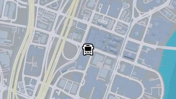
SW 4th St - A
SW 4th St - A is a bus stop in Tequesta, Vice City. It is served by route 420 (Rockridge to Peacock Bay).
Show on map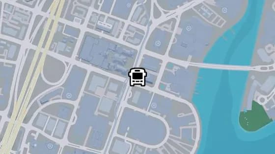
South Vice Ave - F
South Vice Ave - F is a bus stop in Tequesta, Vice City. It is served by route 1071 (Rockridge to Virginia Key).
Show on map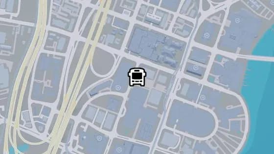
SW 5th Ave - H
SW 5th Ave - H is a bus stop in Tequesta, Vice City. It is served by route 420 (Rockridge to Peacock Bay).
Show on map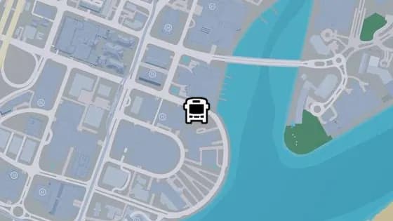
Harbor Sound Dr - B
Harbor Sound Dr - B is a bus stop in Tequesta, Vice City. It is served by route 1029 (Southside to Washington Beach).
Show on map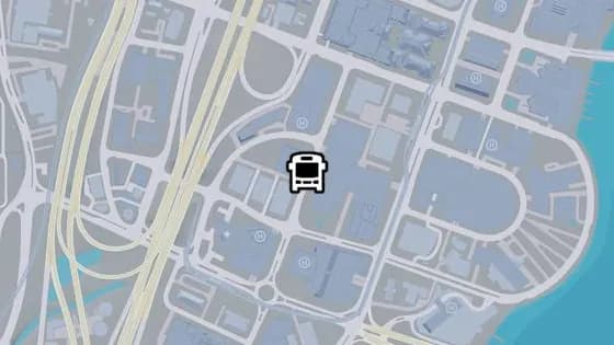
SW 5th Ave - G
SW 5th Ave - G is a bus stop in Tequesta, Vice City. It is served by route 420 (Rockridge to Peacock Bay).
Show on map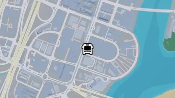
South Vice Ave - E
South Vice Ave - E is a bus stop in Tequesta, Vice City. It is served by routes 1071 (Rockridge to Virginia Key) and 1029 (Southside to Washington Beach).
Show on map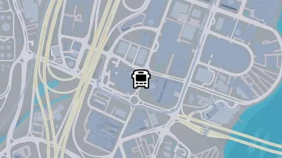
SW 5th Ave - F
SW 5th Ave - F is a bus stop in Tequesta, Vice City. It is served by route 420 (Rockridge to Peacock Bay).
Show on map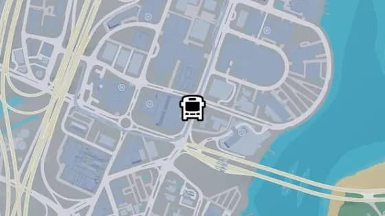
South Vice Ave - D
South Vice Ave - D is a bus stop in Tequesta, Vice City. It is served by routes 1071 (Rockridge to Virginia Key) and 1029 (Southside to Washington Beach).
Show on map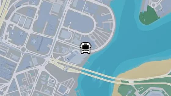
Harbor Sound Dr - A
Harbor Sound Dr - A is a bus stop in Tequesta, Vice City. It is served by route 1029 (Southside to Washington Beach).
Show on map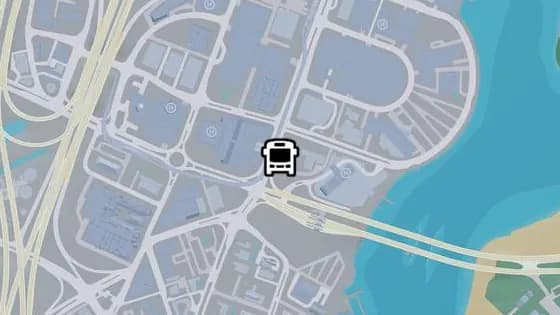
South Vice Ave - C
South Vice Ave - C is a bus stop in Tequesta, Vice City. It is served by route 1071 (Rockridge to Virginia Key).
Show on map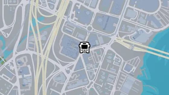
SW 5th Ave - C
SW 5th Ave - C is a bus stop in Peacock Bay, Vice City. It is served by route 420 (Rockridge to Peacock Bay).
Show on map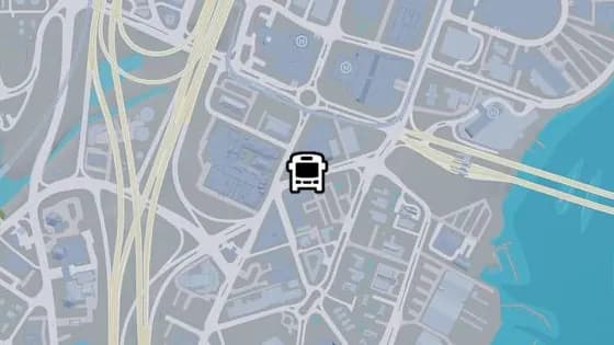
SW 7th St
SW 7th St is a bus stop in Peacock Bay, Vice City. It is served by route 1029 (Southside to Washington Beach).
Show on map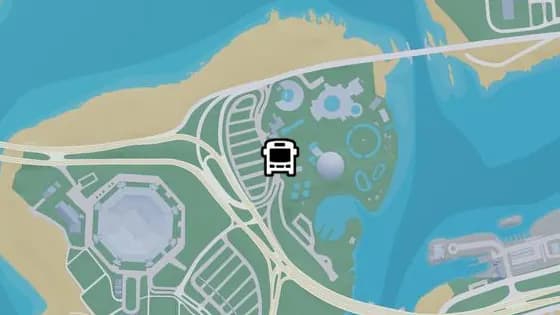
Barentine Dr
Barentine Dr is a bus stop in Catalan Key, Vice City. It is served by route 1071 (Rockridge to Virginia Key).
Show on map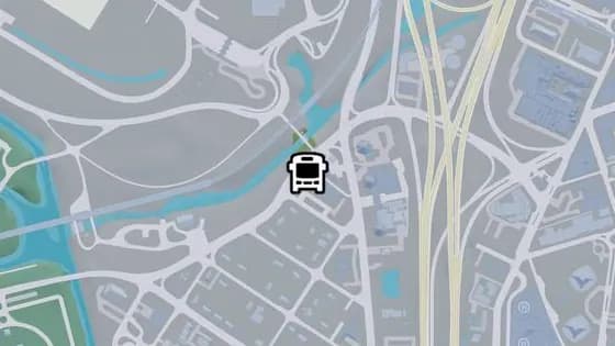
SW 9th Ave - D
SW 9th Ave - D is a bus stop in Southside, Vice City. It is served by route 1032 (Balsero to Southside).
Show on map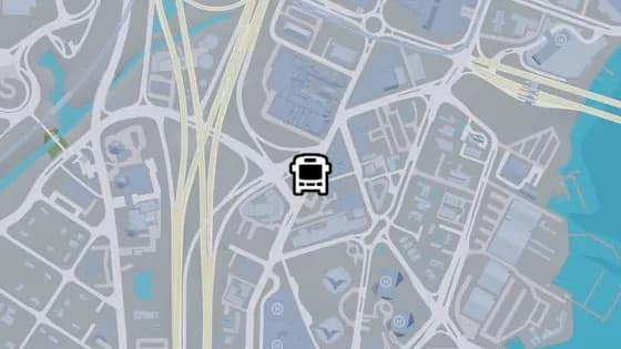
SW 5th Ave - B
SW 5th Ave - B is a bus stop in Peacock Bay, Vice City. It is served by routes 1029 (Southside to Washington Beach) and 420 (Rockridge to Peacock Bay).
Show on map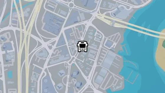
South Vice Ave - B
South Vice Ave - B is a bus stop in Peacock Bay, Vice City. It is served by route 1029 (Southside to Washington Beach).
Show on map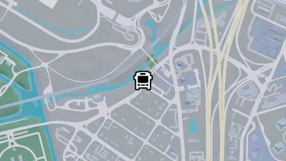
SW 9th Ave - C
SW 9th Ave - C is a bus stop in Southside, Vice City. It is served by route 1032 (Balsero to Southside).
Show on map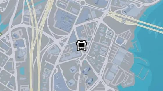
SW 8th St
SW 8th St is a bus stop in Peacock Bay, Vice City. It is served by route 420 (Rockridge to Peacock Bay).
Show on map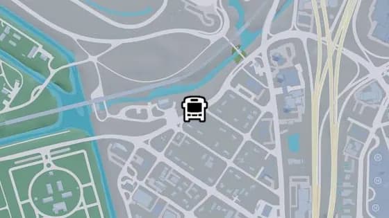
SW 9th Ave - B
SW 9th Ave - B is a bus stop in Southside, Vice City. It is served by route 1032 (Balsero to Southside).
Show on map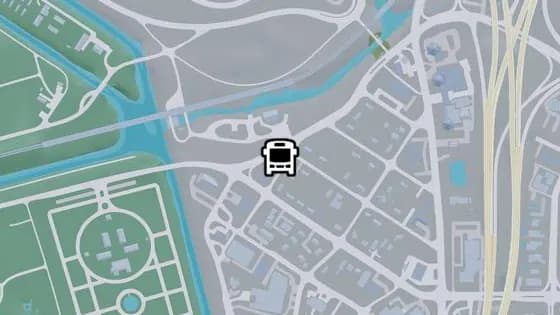
SW 9th Ave - A
SW 9th Ave - A is a bus stop in Southside, Vice City. It is served by route 1032 (Balsero to Southside).
Show on map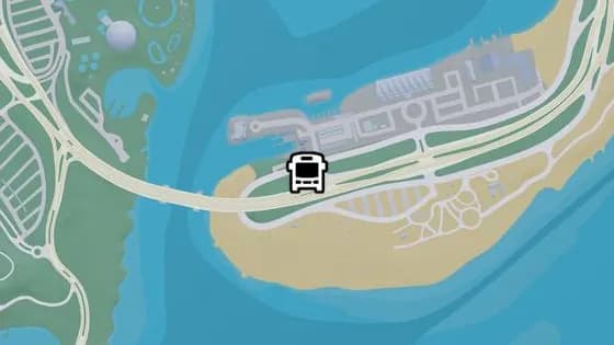
Gloriana Key Rd - A
Gloriana Key Rd - A is a bus stop in Gloriana Key, Vice City. It is served by route 1071 (Rockridge to Virginia Key).
Show on map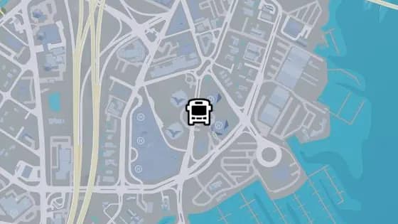
South Vice Ave - A
South Vice Ave - A is a bus stop in Peacock Bay, Vice City. It is served by routes 1029 (Southside to Washington Beach) and 420 (Rockridge to Peacock Bay).
Show on map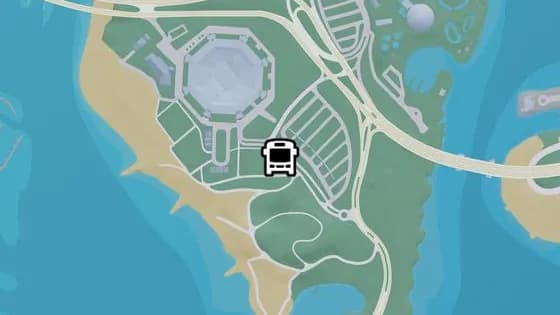
Ocean Sound Rd - B
Ocean Sound Rd - B is a bus stop in Catalan Key, Vice City. It is served by route 1071 (Rockridge to Virginia Key).
Show on map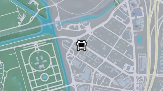
SW 3rd Ave - A
SW 3rd Ave - A is a bus stop in Southside, Vice City. It is served by route 1032 (Balsero to Southside).
Show on map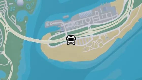
Harbor Key Loop
Harbor Key Loop is a bus stop in Gloriana Key, Vice City. It is served by route 1071 (Rockridge to Virginia Key).
Show on map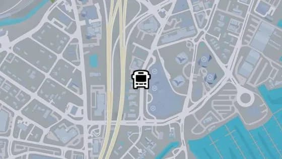
SW 5th Ave - A
SW 5th Ave - A is a bus stop in Peacock Bay, Vice City. It is served by routes 1029 (Southside to Washington Beach) and 420 (Rockridge to Peacock Bay).
Show on map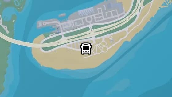
Gloriana Key Rd - B
Gloriana Key Rd - B is a bus stop in Gloriana Key, Vice City. It is served by route 1071 (Rockridge to Virginia Key).
Show on map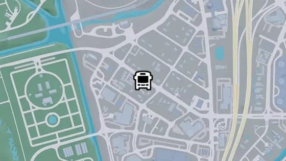
SW 3rd Ave - B
SW 3rd Ave - B is a bus stop in Southside, Vice City. It is served by route 1032 (Balsero to Southside).
Show on map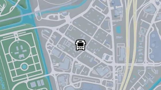
SW 3rd Ave - C
SW 3rd Ave - C is a bus stop in Southside, Vice City. It is served by route 1032 (Balsero to Southside).
Show on map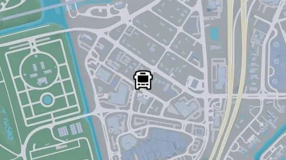
SW 10th Ave - C
SW 10th Ave - C is a bus stop in Southside, Vice City. It is served by route 1032 (Balsero to Southside).
Show on map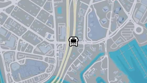
I-97 - A
I-97 - A is a bus stop in Peacock Bay, Vice City. It is served by route 1029 (Southside to Washington Beach).
Show on map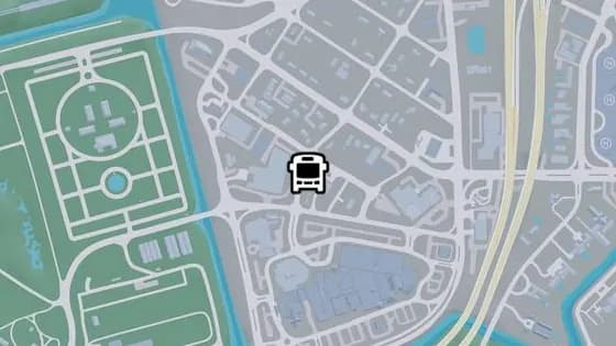
SW 10th Ave - B
SW 10th Ave - B is a bus stop in Southside, Vice City. It is served by route 1032 (Balsero to Southside).
Show on map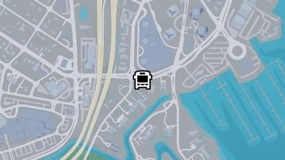
SW 3rd Ave - D
SW 3rd Ave - D is a bus stop in Peacock Bay, Vice City. It is served by routes 1029 (Southside to Washington Beach) and 420 (Rockridge to Peacock Bay).
Show on map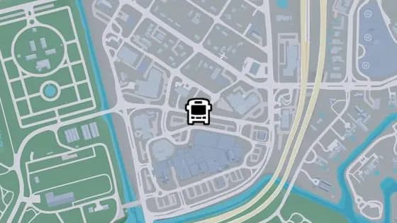
Cicada Ave - B
Cicada Ave - B is a bus stop in Southside, Vice City. It is served by route 1029 (Southside to Washington Beach).
Show on map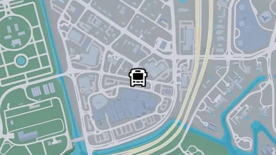
Cicada Ave - C
Cicada Ave - C is a bus stop in Southside, Vice City. It is served by route 1029 (Southside to Washington Beach).
Show on map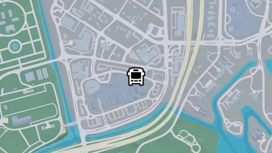
Cicada Ave - D
Cicada Ave - D is a bus stop in Southside, Vice City. It is served by route 1029 (Southside to Washington Beach).
Show on map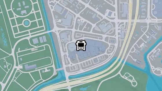
SW 10th Ave - A
SW 10th Ave - A is a bus stop in Southside, Vice City. It is served by routes 1032 (Balsero to Southside) and 1029 (Southside to Washington Beach).
Show on map
Vice Beach — Bus stops58
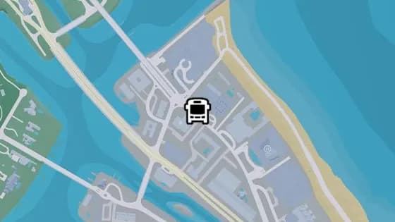
Northside Ave - B
Northside Ave - B is a bus stop in Washington Beach, Vice Beach. It is served by route N02 (VCIA to Washington Beach).
Show on map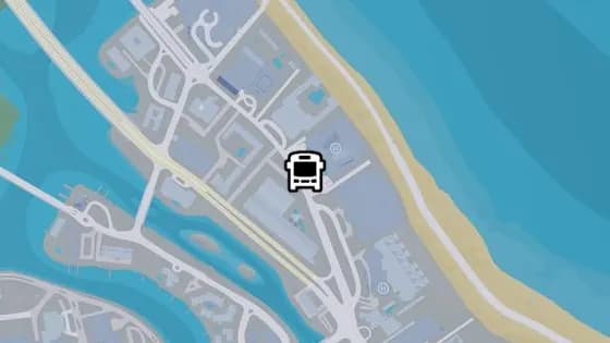
Northside Ave - A
Northside Ave - A is a bus stop in Washington Beach, Vice Beach. It is served by route N02 (VCIA to Washington Beach).
Show on map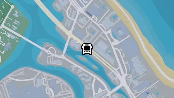
Atlantic Ave - S
Atlantic Ave - S is a bus stop in Washington Beach, Vice Beach. It is served by route N02 (VCIA to Washington Beach).
Show on map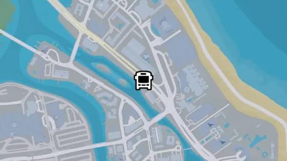
Atlantic Ave - R
Atlantic Ave - R is a bus stop in Washington Beach, Vice Beach. It is served by route N02 (VCIA to Washington Beach).
Show on map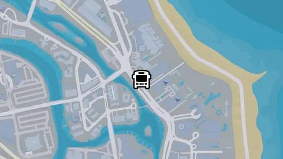
Atlantic Ave - Q
Atlantic Ave - Q is a bus stop in Washington Beach, Vice Beach. It is served by routes 1618 (Decor District to Washington Beach) and N02 (VCIA to Washington Beach).
Show on map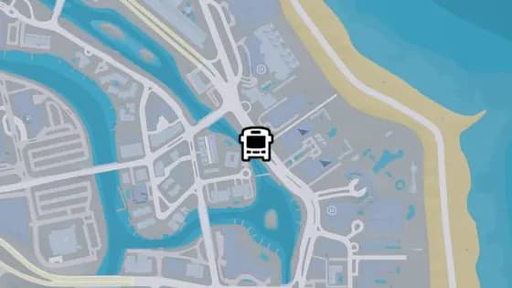
Atlantic Ave - P
Atlantic Ave - P is a bus stop in Washington Beach, Vice Beach. It is served by route N02 (VCIA to Washington Beach).
Show on map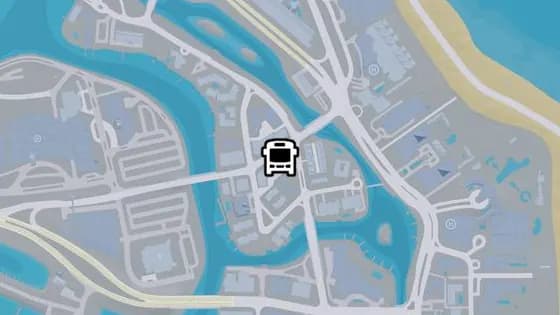
Vineyard Dr - C
Vineyard Dr - C is a bus stop in Washington Island, Washington Beach. It is served by routes 1618 (Decor District to Washington Beach) and N02 (VCIA to Washington Beach).
Show on map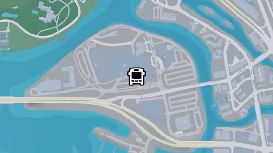
Vineyard Dr - A
Vineyard Dr - A is a bus stop in Penmarch Isle, Washington Beach. It is served by routes 1029 (Southside to Washington Beach) and N02 (VCIA to Washington Beach).
Show on map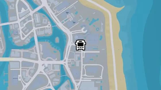
Shorebeach Rd - C
Shorebeach Rd - C is a bus stop in Washington Beach, Vice Beach. It is served by route 1618 (Decor District to Washington Beach).
Show on map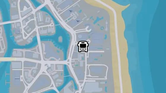
Shorebeach Rd - B
Shorebeach Rd - B is a bus stop in Washington Beach, Vice Beach. It is served by route 1618 (Decor District to Washington Beach).
Show on map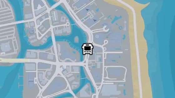
Atlantic Ave - O
Atlantic Ave - O is a bus stop in Washington Beach, Vice Beach. It is served by route N02 (VCIA to Washington Beach).
Show on map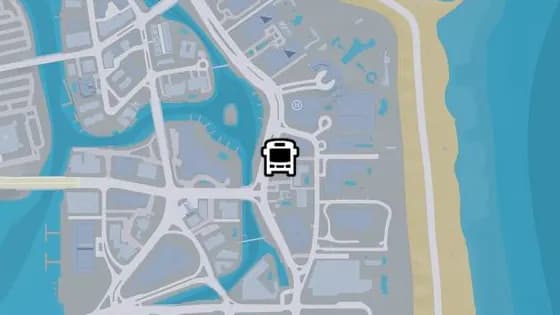
Atlantic Ave - N
Atlantic Ave - N is a bus stop in Washington Beach, Vice Beach. It is served by route N02 (VCIA to Washington Beach).
Show on map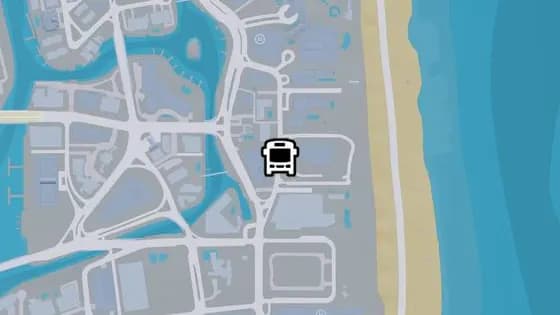
Shorebeach Rd - A
Shorebeach Rd - A is a bus stop in Washington Beach, Vice Beach. It is served by route 1618 (Decor District to Washington Beach).
Show on map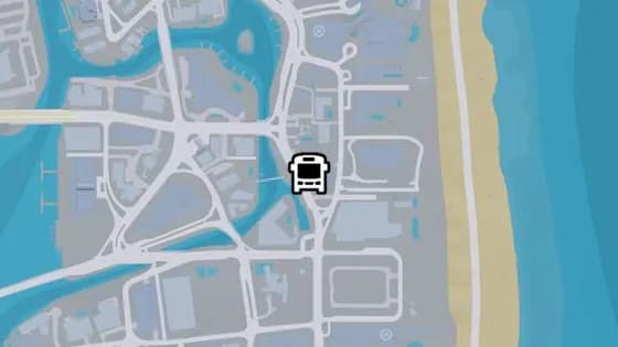
Atlantic Ave - M
Atlantic Ave - M is a bus stop in Washington Beach, Vice Beach. It is served by route N02 (VCIA to Washington Beach).
Show on map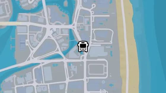
Atlantic Ave - L
Atlantic Ave - L is a bus stop in Washington Beach, Vice Beach. It is served by route N02 (VCIA to Washington Beach).
Show on map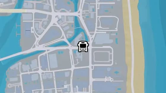
Azelia St - B
Azelia St - B is a bus stop in Washington Beach, Vice Beach. It is served by route N02 (VCIA to Washington Beach).
Show on map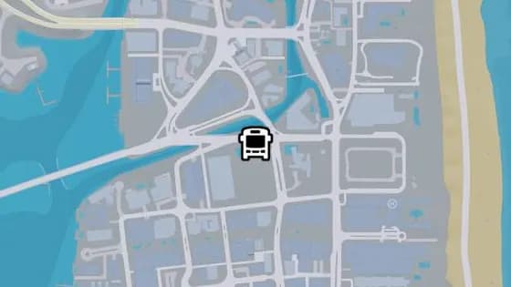
Azelia St - A
Azelia St - A is a bus stop in Ocean Beach, Vice Beach. It is served by route 1050 (Balsero to Washington Beach).
Show on map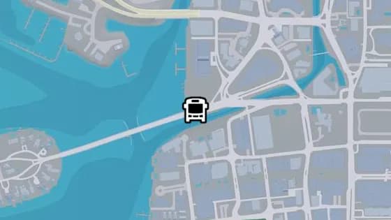
Rialto Cswy - S
Rialto Cswy - S is a bus stop in Oldby Island, Washington Beach. It is served by route 1050 (Balsero to Washington Beach).
Show on map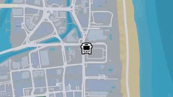
Atlantic Ave - K
Atlantic Ave - K is a bus stop in Washington Beach, Vice Beach. It is served by route 1618 (Decor District to Washington Beach).
Show on map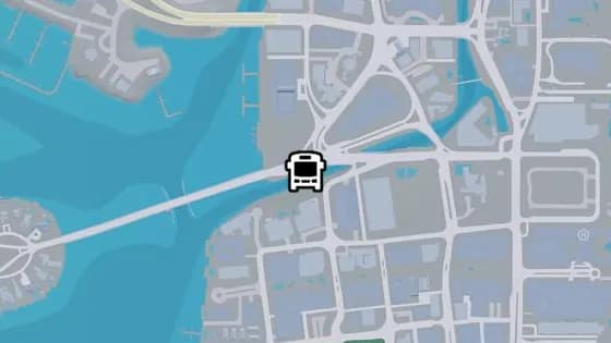
Rialto Cswy - T
Rialto Cswy - T is a bus stop in Oldby Island, Washington Beach. It is served by route 1050 (Balsero to Washington Beach).
Show on map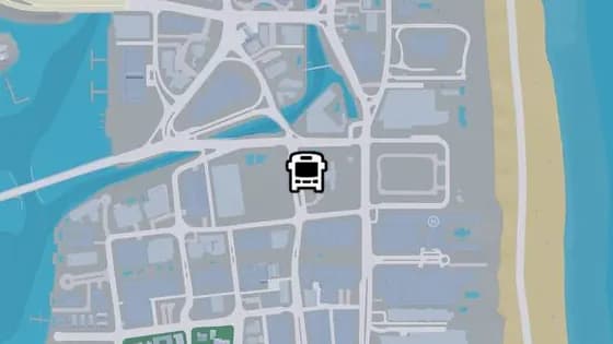
Thompson Ave - P
Thompson Ave - P is a bus stop in Washington Beach, Vice Beach. It is served by route N02 (VCIA to Washington Beach).
Show on map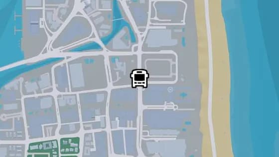
Atlantic Ave - J
Atlantic Ave - J is a bus stop in Washington Beach, Vice Beach. It is served by route 1618 (Decor District to Washington Beach).
Show on map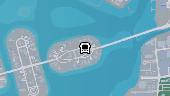
Rialto Cswy - R
Rialto Cswy - R is a bus stop in Casanova Island, Rialto Islands. It is served by route 1050 (Balsero to Washington Beach).
Show on map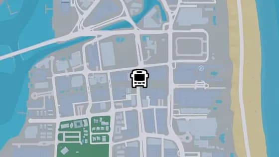
Thompson Ave - O
Thompson Ave - O is a bus stop in Ocean Beach, Vice Beach. It is served by route N02 (VCIA to Washington Beach).
Show on map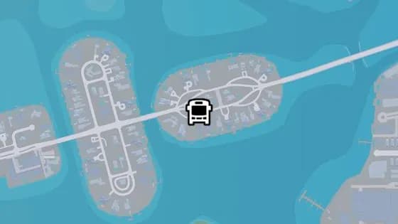
Rialto Cswy - Q
Rialto Cswy - Q is a bus stop in Casanova Island, Rialto Islands. It is served by route 1050 (Balsero to Washington Beach).
Show on map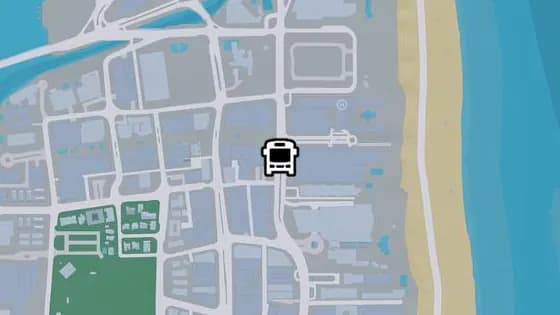
Atlantic Ave - I
Atlantic Ave - I is a bus stop in Washington Beach, Vice Beach. It is served by route 1618 (Decor District to Washington Beach).
Show on map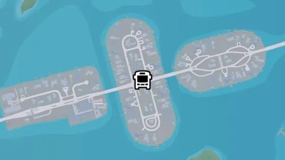
Rialto Cswy - P
Rialto Cswy - P is a bus stop in Vespucci Island, Rialto Islands. It is served by route 1050 (Balsero to Washington Beach).
Show on map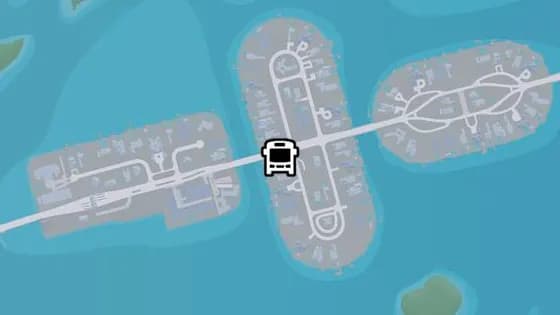
Rialto Cswy - O
Rialto Cswy - O is a bus stop in Vespucci Island, Rialto Islands. It is served by route 1050 (Balsero to Washington Beach).
Show on map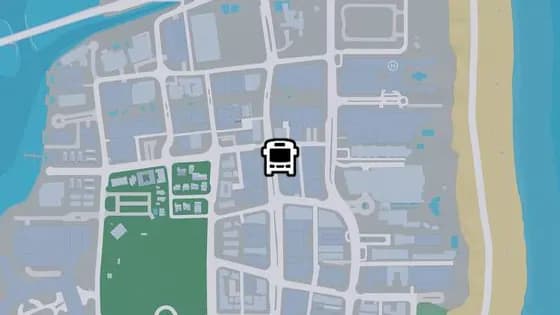
Thompson Ave - N
Thompson Ave - N is a bus stop in Ocean Beach, Vice Beach. It is served by route N02 (VCIA to Washington Beach).
Show on map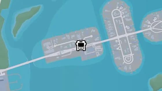
Rialto Cswy - N
Rialto Cswy - N is a bus stop in Catalan Island, Rialto Islands. It is served by route 1050 (Balsero to Washington Beach).
Show on map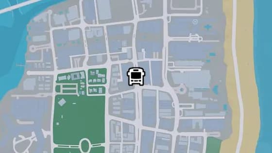
Thompson Ave - M
Thompson Ave - M is a bus stop in Ocean Beach, Vice Beach. It is served by route N02 (VCIA to Washington Beach).
Show on map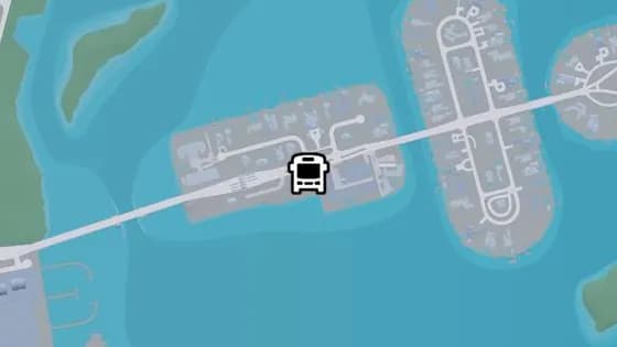
Rialto Cswy - M
Rialto Cswy - M is a bus stop in Catalan Island, Rialto Islands. It is served by route 1050 (Balsero to Washington Beach).
Show on map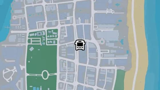
Thompson Ave - L
Thompson Ave - L is a bus stop in Ocean Beach, Vice Beach. It is served by route N02 (VCIA to Washington Beach).
Show on map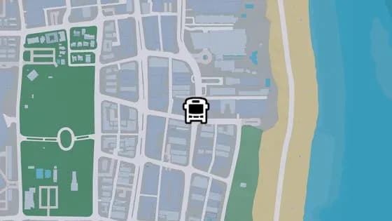
Atlantic Ave - F
Atlantic Ave - F is a bus stop in Ocean Beach, Vice Beach. It is served by route 1618 (Decor District to Washington Beach).
Show on map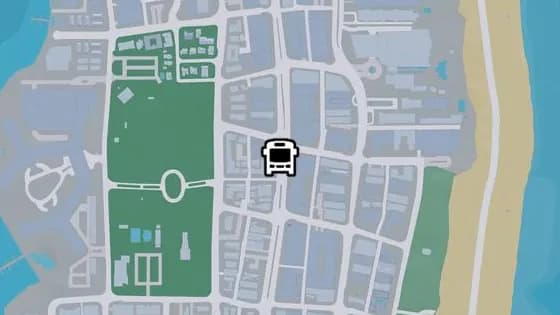
Thompson Ave - K
Thompson Ave - K is a bus stop in Ocean Beach, Vice Beach. It is served by route N02 (VCIA to Washington Beach).
Show on map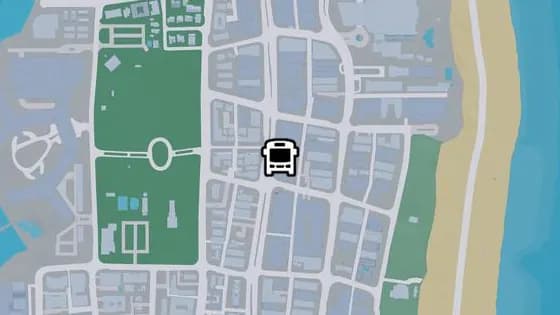
Thompson Ave - J
Thompson Ave - J is a bus stop in Ocean Beach, Vice Beach. It is served by route N02 (VCIA to Washington Beach).
Show on map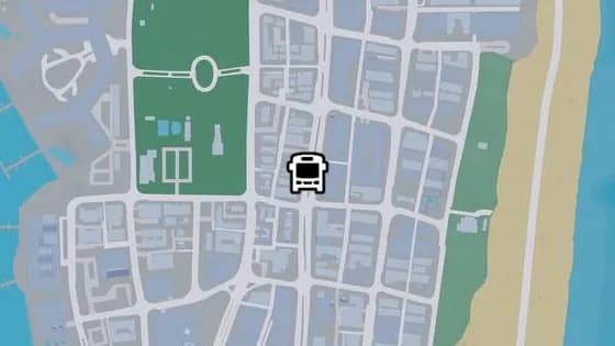
Thompson Ave - I
Thompson Ave - I is a bus stop in Ocean Beach, Vice Beach. It is served by route N02 (VCIA to Washington Beach).
Show on map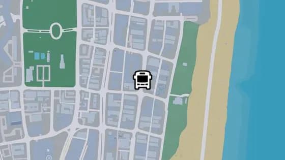
Atlantic Ave - E
Atlantic Ave - E is a bus stop in Ocean Beach, Vice Beach. It is served by route 1618 (Decor District to Washington Beach).
Show on map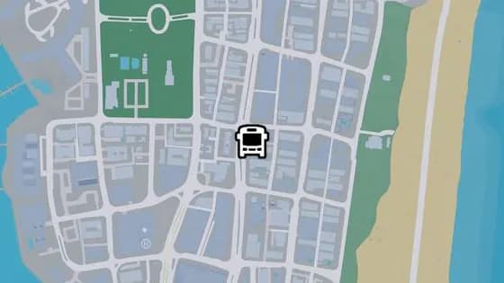
Thompson Ave - H
Thompson Ave - H is a bus stop in Ocean Beach, Vice Beach. It is served by route N02 (VCIA to Washington Beach).
Show on map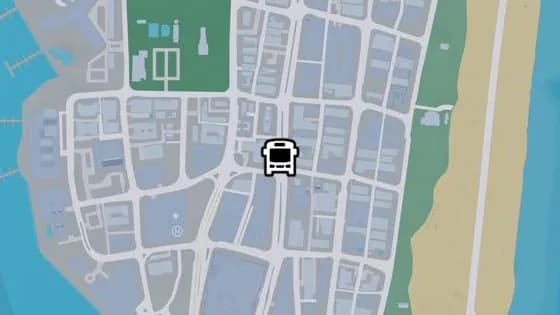
Thompson Ave - G
Thompson Ave - G is a bus stop in Ocean Beach, Vice Beach. It is served by route N02 (VCIA to Washington Beach).
Show on map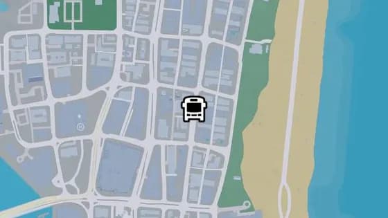
Atlantic Ave - D
Atlantic Ave - D is a bus stop in Ocean Beach, Vice Beach. It is served by route 1618 (Decor District to Washington Beach).
Show on map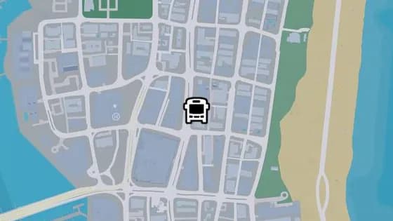
Thompson Ave - F
Thompson Ave - F is a bus stop in Ocean Beach, Vice Beach. It is served by route N02 (VCIA to Washington Beach).
Show on map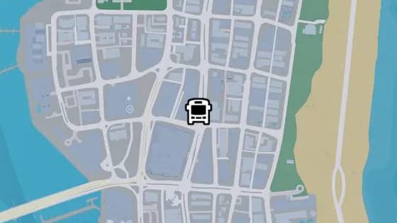
Thompson Ave - E
Thompson Ave - E is a bus stop in Ocean Beach, Vice Beach. It is served by route N02 (VCIA to Washington Beach).
Show on map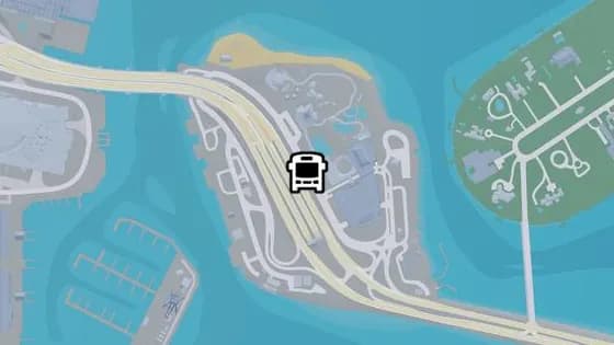
Admiral Dr - A
Admiral Dr - A is a bus stop in Waxman Island, Vice Beach. It is served by route 1618 (Decor District to Washington Beach).
Show on map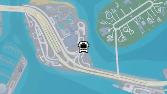
Admiral Dr - B
Admiral Dr - B is a bus stop in Waxman Island, Vice Beach. It is served by route 1618 (Decor District to Washington Beach).
Show on map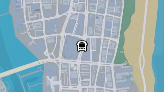
Thompson Ave - D
Thompson Ave - D is a bus stop in Ocean Beach, Vice Beach. It is served by route N02 (VCIA to Washington Beach).
Show on map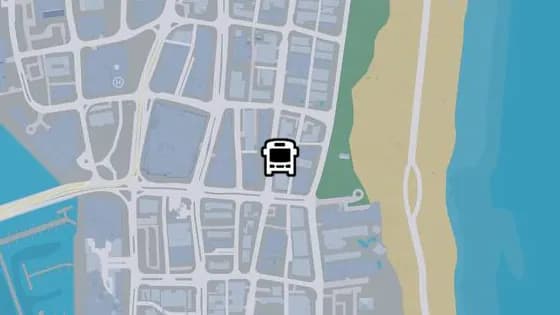
Atlantic Ave - B
Atlantic Ave - B is a bus stop in Ocean Beach, Vice Beach. It is served by route 1618 (Decor District to Washington Beach).
Show on map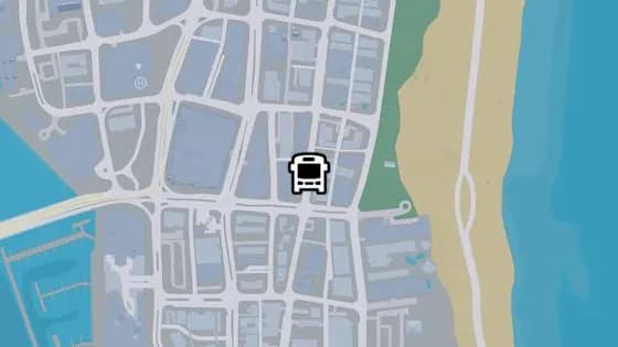
Atlantic Ave - A
Atlantic Ave - A is a bus stop in Ocean Beach, Vice Beach. It is served by route 1618 (Decor District to Washington Beach).
Show on map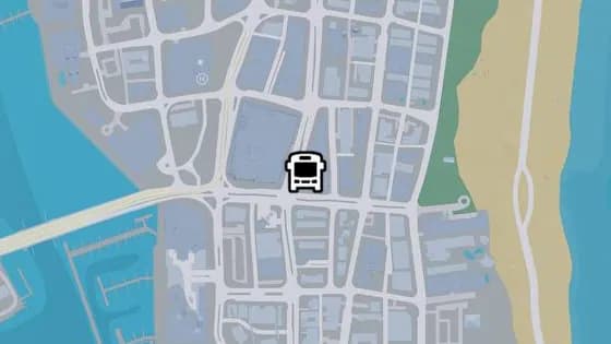
Thompson Ave - C
Thompson Ave - C is a bus stop in Ocean Beach, Vice Beach. It is served by route N02 (VCIA to Washington Beach).
Show on map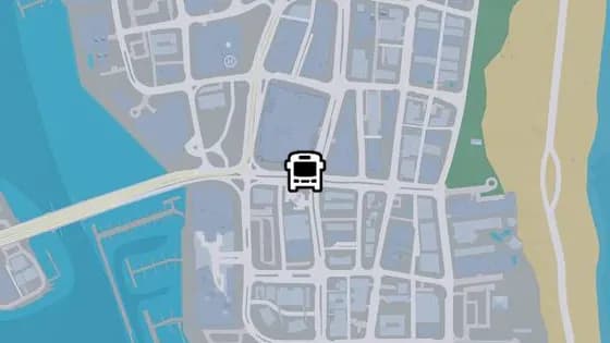
Seaview Blvd
Seaview Blvd is a bus stop in Ocean Beach, Vice Beach. It is served by route N02 (VCIA to Washington Beach).
Show on map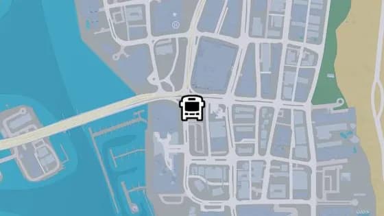
Koko Blvd - B
Koko Blvd - B is a bus stop in Ocean Beach, Vice Beach. It is served by route 1618 (Decor District to Washington Beach).
Show on map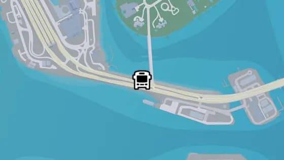
Admiral Cswy - A
Admiral Cswy - A is a bus stop in Waxman Island, Vice Beach. It is served by route N02 (VCIA to Washington Beach).
Show on map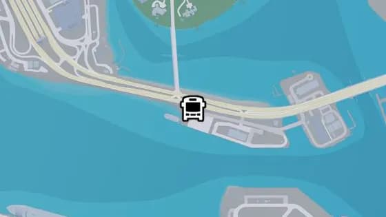
Admiral Cswy - B
Admiral Cswy - B is a bus stop in Waxman Island, Vice Beach. It is served by route N02 (VCIA to Washington Beach).
Show on map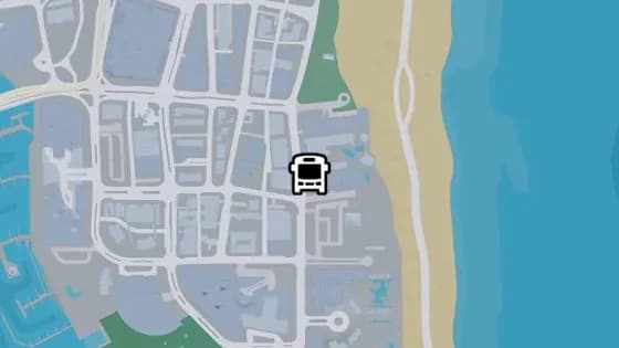
Shore Dr - B
Shore Dr - B is a bus stop in Ocean Beach, Vice Beach. It is served by route 1618 (Decor District to Washington Beach).
Show on map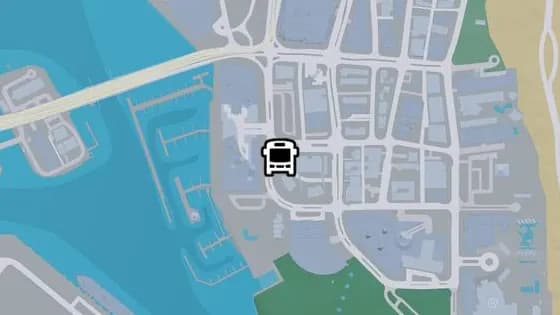
Koko Blvd - A
Koko Blvd - A is a bus stop in Ocean Beach, Vice Beach. It is served by route 1618 (Decor District to Washington Beach).
Show on map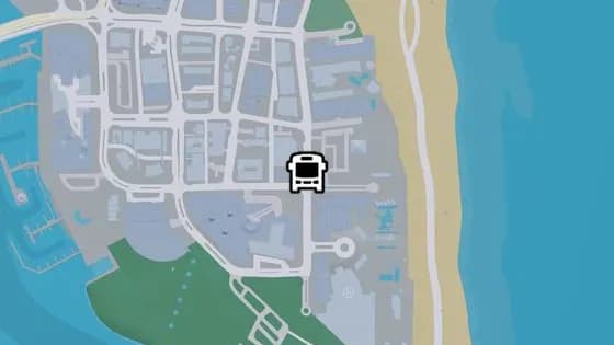
Shore Dr - A
Shore Dr - A is a bus stop in Ocean Beach, Vice Beach. It is served by route 1618 (Decor District to Washington Beach).
Show on map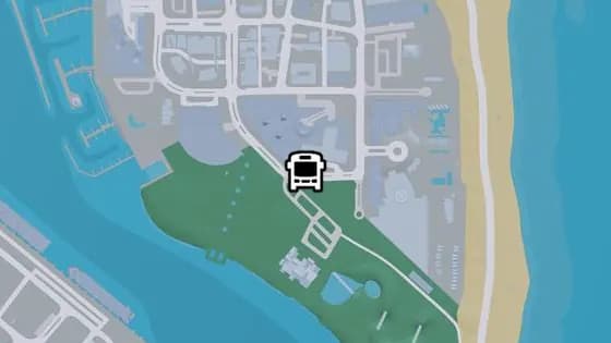
Thompson Ave - B
Thompson Ave - B is a bus stop in Ocean Beach, Vice Beach. It is served by route 1618 (Decor District to Washington Beach).
Show on map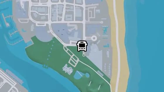
Thompson Ave - A
Thompson Ave - A is a bus stop in Ocean Beach, Vice Beach. It is served by route 1618 (Decor District to Washington Beach).
Show on map
Rest of Vice-Dale County — Bus stops8
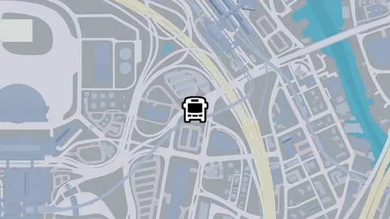
West Royale St - B
West Royale St - B is a bus stop in VCIA, West Vice-Dale County. It is served by route N02 (VCIA to Washington Beach).
Show on map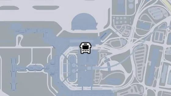
VCIA Circular - B
VCIA Circular - B is a bus stop in VCIA Terminals. It is served by route N02 (VCIA to Washington Beach).
Show on map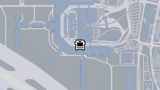
VCIA Circular - A
VCIA Circular - A is a bus stop in VCIA Terminals. It is served by route N02 (VCIA to Washington Beach).
Show on map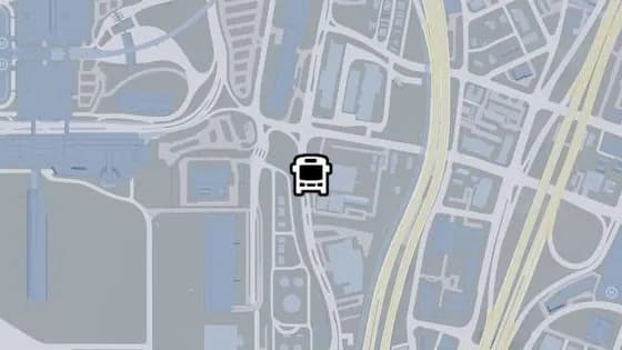
El Joven Blvd - B
El Joven Blvd - B is a bus stop in VCIA, West Vice-Dale County. It is served by route 1032 (Balsero to Southside).
Show on map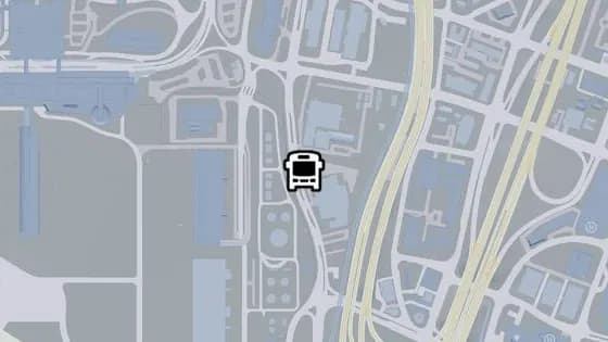
El Joven Blvd - A
El Joven Blvd - A is a bus stop in VCIA, West Vice-Dale County. It is served by route 1032 (Balsero to Southside).
Show on map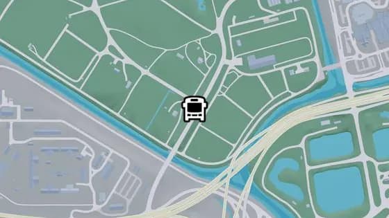
Cicada Ave - A
Cicada Ave - A is a bus stop in Bluegrass, South Vice-Dale County. It is served by the State Loop route.
Show on map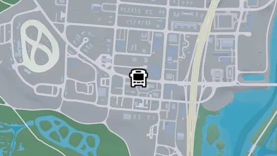
Palmetto Ave - B
Palmetto Ave - B is a bus stop in Hamlet, Vice-Dale County. It is served by routes State Loop and Keys Loop.
Show on map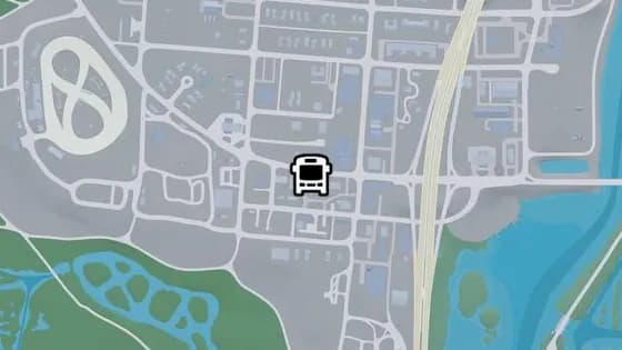
Palmetto Ave - A
Palmetto Ave - A is a bus stop in Hamlet, Vice-Dale County. It is served by the State Loop route.
Show on map
Mariana County — Bus stops5
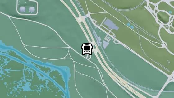
US-82 - B
US-82 - B is a bus stop in Grassrivers, Mariana County. It is served by the State Loop route.
Show on map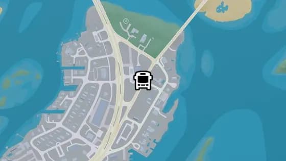
Ocean Sound Rd - A
Ocean Sound Rd - A is a bus stop in Key Lento, Mariana County. It is served by route Keys Loop.
Show on map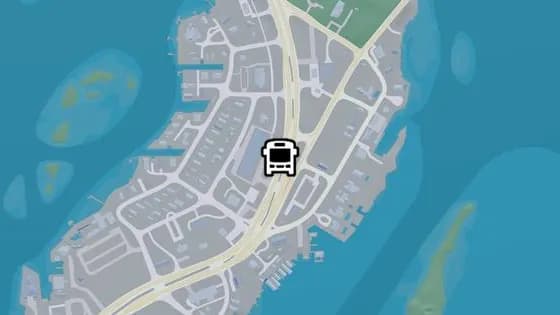
Sunbelt Hwy - B
Sunbelt Hwy - B is a bus stop in Key Lento, Mariana County. It is served by route Keys Loop.
Show on map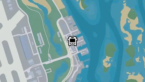
Queen Palm Ave
Queen Palm Ave is a bus stop in Southwind, Mariana County. It is served by route Keys Loop.
Show on map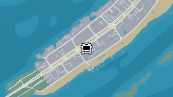
Sunbelt Hwy - A
Sunbelt Hwy - A is a bus stop in Key Lento, Mariana County. It is served by route Keys Loop.
Show on map
Kelly County — Bus stops2
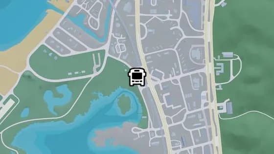
US-9 - B
US-9 - B is a bus stop in Port Gellhorn, Kelly County. It is served by the State Loop route.
Show on map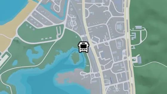
US-9 - A
US-9 - A is a bus stop in Port Gellhorn, Kelly County. It is served by the State Loop route.
Show on map
Leonard County — Bus stops1
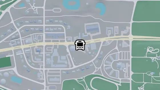
Discovery St - B
Discovery St - B is a bus stop in Belville, Leonard County. It is served by the State Loop route.
Show on map
More location types
- Vehicles
- Gas stations62Car washes7Vehicle mod shops16Pay 'n' Spray19Public transport44EV chargers89Vehicle rentals2
- Robberies
- Illegal operations43Banks22Payday loans7Smash 'n' Grabs36Fences13ATMs292Safes40Randy's wish list9Vehicles for Moses7
- Collectibles
- Hidden packages1Collectible Cards95WAiNK Scans89Book swaps7Magazines29Standout vehicles85Basketball hoops100Flight stunts242Unique playlists7Murals5
- Activities
- Gang compounds2Golf6Gyms9Random events5Nightclubs6Races53Shooting ranges15Drone races42Stunt jumps130BASE jumps25Fishing spots35Pool tables17Arcade machines31
- Properties
- Garages13Safehouses4
- Weapons
- Ammu-Nation24
 Gas stations
 Car washes
 Vehicle mod shops
 Pay 'n' Spray
 Public transport
 EV chargers
 Vehicle rentals
 Illegal operations
 Banks
 Payday loans
 Smash 'n' Grabs
 Fences
 ATMs
 Safes
 Randy's wish list
 Vehicles for Moses
 Hidden packages
 Collectible Cards
 WAiNK Scans
 Book swaps
 Magazines
 Standout vehicles
 Basketball hoops
 Flight stunts
 Unique playlists
 Murals
 Gang compounds
 Golf
 Gyms
 Random events
 Nightclubs
 Races
 Shooting ranges
 Drone races
 Stunt jumps
 BASE jumps
 Fishing spots
 Pool tables
 Arcade machines
 Garages
 Safehouses
 Ammu-Nation
 Clothing
 Footwear
 Hair & beauty
 Tattoo parlors
 Electronics
 Fast food
 Cafes & takeout
 Street food
 Bars
 Liquor stores
 Convenience stores
 Marinas
 Cinemas
 Cities & towns
 Fire stations
 Hospitals
 Landmarks
 Police stations
This list is based on actual gameplay since launch. Positions and descriptions will keep being updated as more places are discovered. About