GTA 6 지도
비행 스턴트 — GTA 6 장소
 비행 스턴트 — GTA 6 장소
GTA 6 리오나이다 지도에서 지금까지 확인된 이 유형의 모든 장소(현재 242곳)입니다. 지도의 마커를 누르거나 아래 목록에서 장소를 고르면 지도가 해당 위치로 이동합니다.
이 카테고리의 모든 장소242
바이스 시티 — 비행 스턴트61
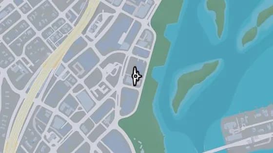
Tidemark Knife Flight
바이스 시티 Bayside에 있는 비행 스턴트 Tidemark Knife Flight. Bayside 중심부 골목 위, Tidemark 건물과 그 옆 아파트 사이로 비행한다.
지도에서 보기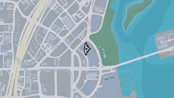
Archipelago Apartments Knife Flight
바이스 시티 Bayside에 있는 비행 스턴트 Archipelago Apartments Knife Flight. Bayside 남부 Archipelago Apartments의 북쪽 두 타워 사이로 비행한다.
지도에서 보기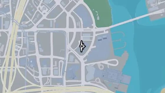
Aida Towers Knife Flight
바이스 시티 Bayside에 있는 비행 스턴트 Aida Towers Knife Flight. Bayside 남부 Aida Towers 건물의 두 타워 사이로 비행한다.
지도에서 보기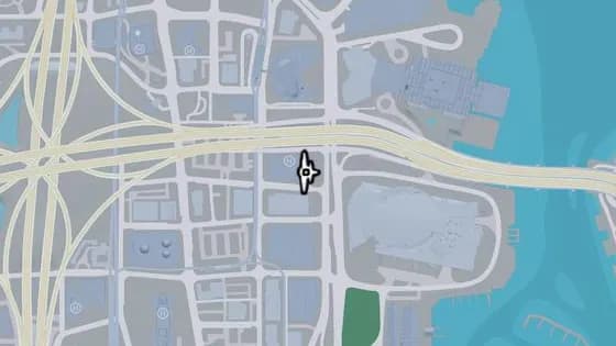
Flora Hotel Knife Flight
바이스 시티 Downtown에 있는 비행 스턴트 Flora Hotel Knife Flight. Sahara Arena 맞은편 Flora Hotel 건물 옆면, 로고 위에 뚫린 틈으로 통과해 비행한다.
지도에서 보기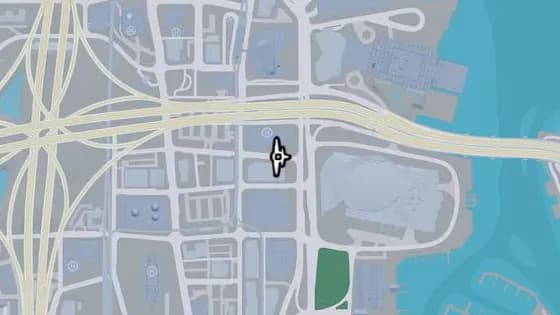
Derwent Towers Knife Flight
바이스 시티 Downtown에 있는 비행 스턴트 Derwent Towers Knife Flight. Sahara Arena 맞은편 Downtown 북부 NE 7th St 위, Derwent Towers와 Flora Hotel 사이로 비행한다.
지도에서 보기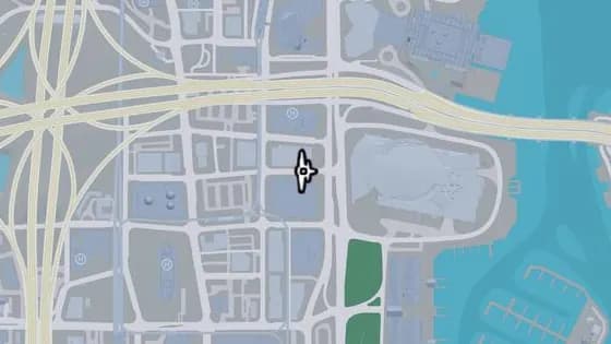
Nauticus Condominiums Knife Flight
바이스 시티 Downtown에 있는 비행 스턴트 Nauticus Condominiums Knife Flight. Downtown 북부 NE 6th St 위, Derwent Towers와 Nauticus Condominiums 건물 사이로 비행한다.
지도에서 보기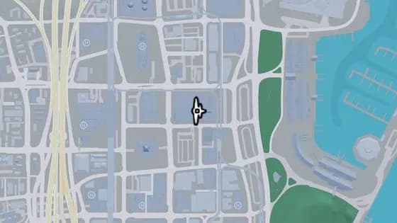
Arcadia Towers Apartments Knife Flight
바이스 시티 Downtown에 있는 비행 스턴트 Arcadia Towers Apartments Knife Flight. Downtown 중심부 Arcadia Towers Apartments의 두 타워 사이로 비행한다.
지도에서 보기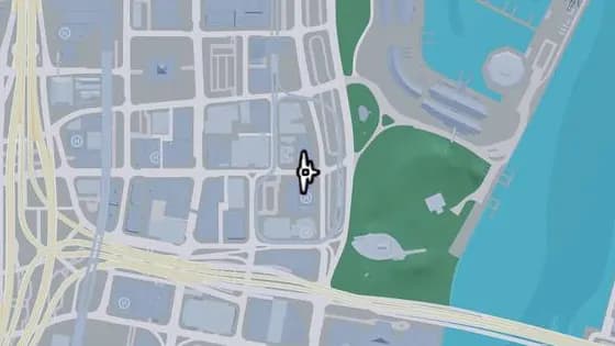
Leonida Point Apartments Knife Flight
바이스 시티 Downtown에 있는 비행 스턴트 Leonida Point Apartments Knife Flight. Downtown 중심부 East Royale St 위, buckme 건물과 Leonida Point Apartments 사이로 비행한다.
지도에서 보기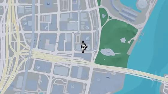
LNB HQ Knife Flight
바이스 시티 Downtown에 있는 비행 스턴트 LNB HQ Knife Flight. Downtown 남부 Sterling Tower 건물의 LNB 타워와 Megamundo 타워 사이로 비행한다.
지도에서 보기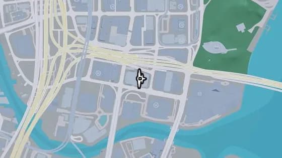
PJ Butlin Baron Knife Flight
바이스 시티 Downtown에 있는 비행 스턴트 PJ Butlin Baron Knife Flight. Downtown 남부 PJ Butlin Baron 위, Hobbs Milford Towers 두 동 사이로 비행한다.
지도에서 보기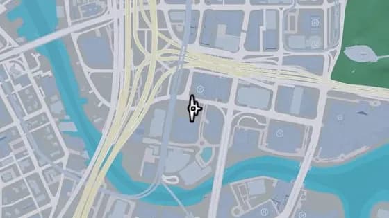
Moon Knife Flight
바이스 시티 Downtown에 있는 비행 스턴트 Moon Knife Flight. Downtown 남부 SW 2nd St 위, Heath Tower 건물과 Moon 아파트 건물 사이로 비행한다.
지도에서 보기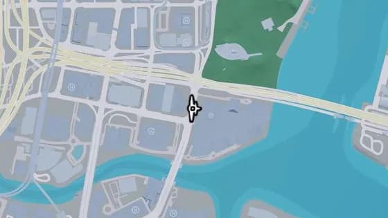
Shorefront HQ Knife Flight
바이스 시티 Downtown에 있는 비행 스턴트 Shorefront HQ Knife Flight. Downtown 남부 Catalan Blvd 위, ShoreFront 건물과 Pike Financial Center 사이로 비행한다.
지도에서 보기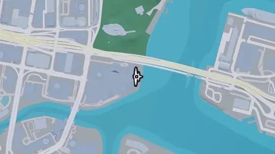
The Clarissa Hotel North Knife Flight
바이스 시티 Downtown에 있는 비행 스턴트 The Clarissa Hotel North Knife Flight. Downtown 남부 Clarissa Hotel의 남동쪽 타워와 북동쪽 타워 사이로 비행한다.
지도에서 보기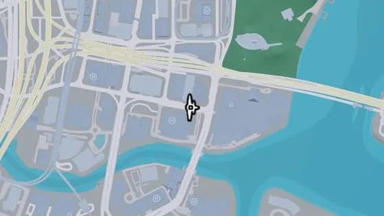
Rico Huxley Hotels Knife Flight
바이스 시티 Downtown에 있는 비행 스턴트 Rico Huxley Hotels Knife Flight. Downtown 남부 SE 2nd Ave 위, Pike Financial Center 건물과 Rico Huxley Hotel 사이로 비행한다.
지도에서 보기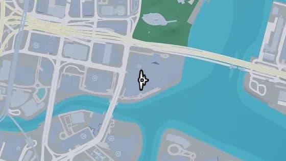
The Clarissa Hotel East Knife Flight
바이스 시티 Downtown에 있는 비행 스턴트 The Clarissa Hotel East Knife Flight. Downtown 남부 Clarissa Hotel의 남쪽 타워와 ShoreFront 건물 사이로 비행한다.
지도에서 보기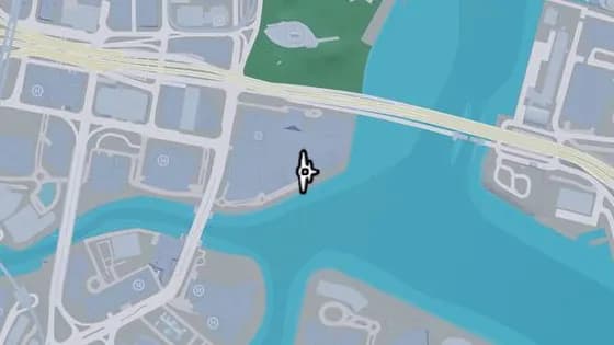
The Clarissa Hotel South Knife Flight
바이스 시티 Downtown에 있는 비행 스턴트 The Clarissa Hotel South Knife Flight. Downtown 남부 Clarissa Hotel의 남동쪽 타워와 남서쪽 타워 사이로 비행한다.
지도에서 보기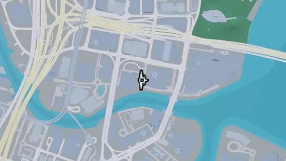
Knife Flight: BAM1 Condominiums
바이스 시티 Downtown에 있는 비행 스턴트 Knife Flight: BAM1 Condominiums. Downtown 남부 SE 3rd St 위, Rico Huxley Hotels 건물과 BAM1 Condominiums 사이로 비행한다.
지도에서 보기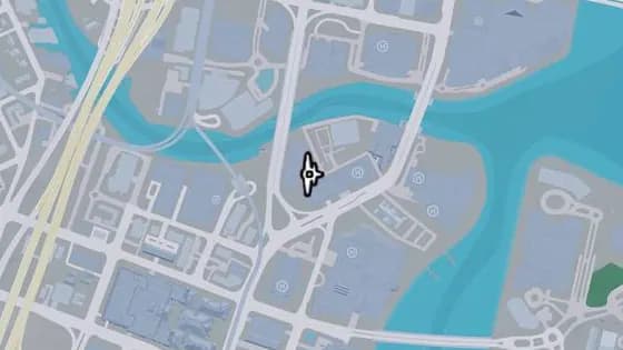
Tequesta on the Water Apartments Knife Flight
바이스 시티 Tequesta에 있는 비행 스턴트 Tequesta on the Water Apartments Knife Flight. Tequesta 북부 공사 현장 위, Tequesta on the Water Apartments 건물의 두 타워 사이로 비행한다.
지도에서 보기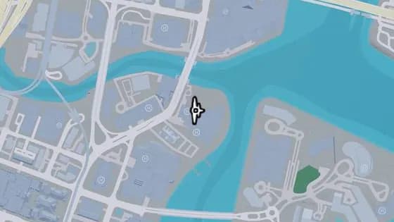
Tequesta Tides Hotel & Spa North Knife Flight
바이스 시티 Tequesta에 있는 비행 스턴트 Tequesta Tides Hotel & Spa North Knife Flight. Tequesta 북동부 Tequesta Tides Hotel & Spa 건물의 중앙 타워와 북쪽 타워 사이로 비행한다.
지도에서 보기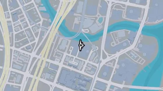
Neo Paloma Apartments Knife Flight
바이스 시티 Tequesta에 있는 비행 스턴트 Neo Paloma Apartments Knife Flight. Tequesta 북부 Neo Paloma Apartments와 Temple Parks Offices 건물 사이로 비행한다.
지도에서 보기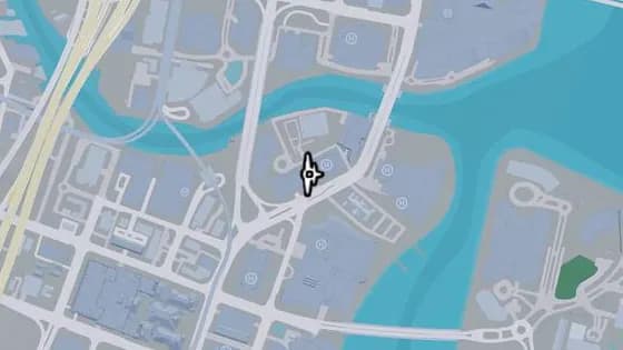
Knife Flight: Aurum Condominiums
바이스 시티 Tequesta에 있는 비행 스턴트 Knife Flight: Aurum Condominiums. Tequesta 북동부 Aurum Condominiums 건물 한가운데에 뚫린 틈으로 통과해 비행한다.
지도에서 보기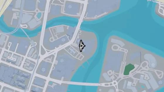
Tequesta Tides Hotel & Spa South Knife Flight
바이스 시티 Tequesta에 있는 비행 스턴트 Tequesta Tides Hotel & Spa South Knife Flight. Tequesta 북동부 Tequesta Tides Hotel & Spa 건물의 중앙 타워와 남쪽 타워 사이로 비행한다.
지도에서 보기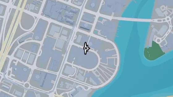
One Stracathro Tower Knife Flight
바이스 시티 Tequesta에 있는 비행 스턴트 One Stracathro Tower Knife Flight. Yucatan Ct 위, One Stracathro Tower 건물과 Penny Haus 건물 사이로 비행한다.
지도에서 보기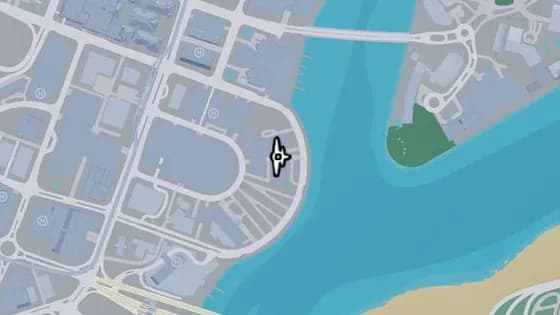
Dock of the Bay Condominiums Knife Flights
바이스 시티 Tequesta에 있는 비행 스턴트 Dock of the Bay Condominiums Knife Flights. Tequesta 동부 해안가의 콘도미니엄 건물 두 동 사이로 비행한다.
지도에서 보기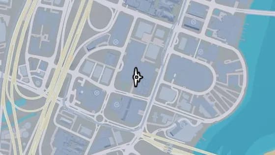
Grand Majestic Aparthotel Knife Flight
바이스 시티 Tequesta에 있는 비행 스턴트 Grand Majestic Aparthotel Knife Flight. Tequesta 남부 Grand Majestic과 International Online Unlimited 건물 사이로 비행한다.
지도에서 보기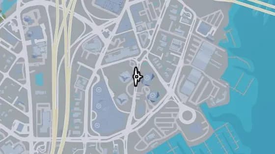
The Fitz-Gerald North Knife Flight
바이스 시티 Peacock Bay에 있는 비행 스턴트 The Fitz-Gerald North Knife Flight. South Vice Ave 위, Fitz-Gerald 건물과 Peacock Bay Luxury Condominiums 북쪽 타워 사이로 비행한다.
지도에서 보기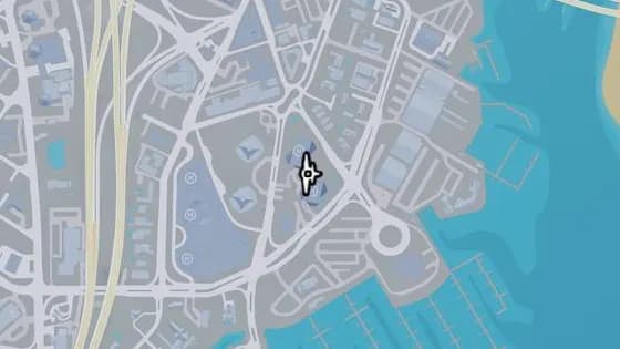
Peacock Bay Luxury Condominiums East Knife Flight
바이스 시티 Peacock Bay에 있는 비행 스턴트 Peacock Bay Luxury Condominiums East Knife Flight. Peacock Bay Luxury Condominiums 건물의 동쪽 두 타워 사이로 비행한다.
지도에서 보기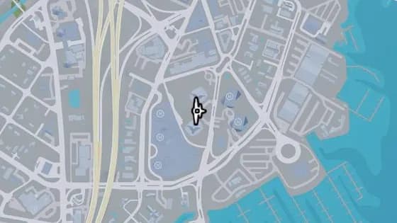
The Fitz-Gerald Knife Flight
바이스 시티 Peacock Bay에 있는 비행 스턴트 The Fitz-Gerald Knife Flight. Fitz-Gerald 건물의 두 타워 사이로 비행한다.
지도에서 보기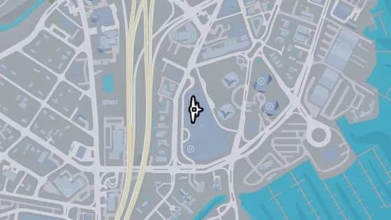
Peacock Bay Luxury Condominiums North Knife Flight
바이스 시티 Peacock Bay에 있는 비행 스턴트 Peacock Bay Luxury Condominiums North Knife Flight. Peacock Bay Luxury Condominiums 건물의 북쪽 두 타워 사이로 비행한다.
지도에서 보기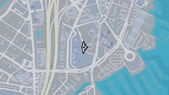
The Fitz-Gerald South Knife Flight
바이스 시티 Peacock Bay에 있는 비행 스턴트 The Fitz-Gerald South Knife Flight. Fitz-Gerald의 남쪽 타워와 Peacock Bay Luxury Condominiums의 가운데 건물 사이로 비행한다.
지도에서 보기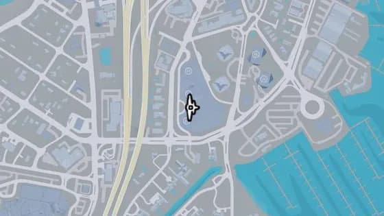
Peacock Bay Luxury Condominiums South Knife Flight
바이스 시티 Peacock Bay에 있는 비행 스턴트 Peacock Bay Luxury Condominiums South Knife Flight. Peacock Bay Luxury Condominiums 건물의 남쪽 두 타워 사이로 비행한다.
지도에서 보기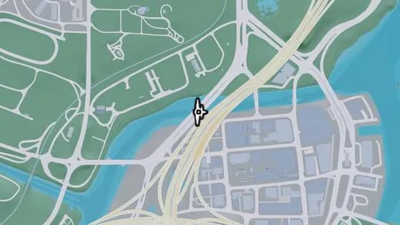
Under the Bridge: Del Rio Boulevard
바이스 시티 La Perle에 있는 비행 스턴트 Under the Bridge: Del Rio Boulevard. La Perle과 Belville을 잇는 운하 위의 다리 아래로 비행한다.
지도에서 보기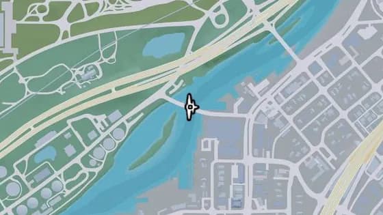
S-17 Canal Drawbridge South
바이스 시티 Balsero에 있는 비행 스턴트 S-17 Canal Drawbridge South. Balsero와 La Perle을 잇는 운하 위의 다리 아래로 비행한다.
지도에서 보기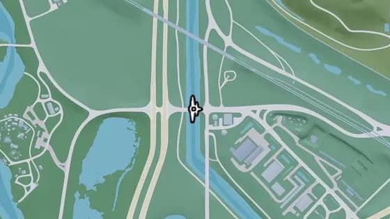
Under the Bridge: Leonida Canal Southwest
바이스 시티 Balsero에 있는 비행 스턴트 Under the Bridge: Leonida Canal Southwest. Balsero와 Emerald Springs 사이, Cargo Rd가 운하 위를 지나는 다리 아래로 비행한다.
지도에서 보기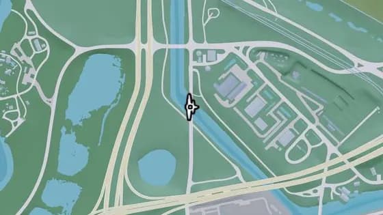
Under the Bridge: Leonida Canal Southeast
바이스 시티 Balsero에 있는 비행 스턴트 Under the Bridge: Leonida Canal Southeast. SR-25가 운하 위를 지나는 다리 아래로 비행한다.
지도에서 보기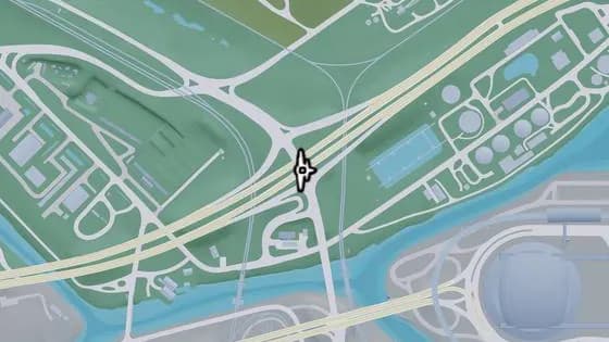
Under the Bridge: Balsero Overpass East
바이스 시티 Balsero에 있는 비행 스턴트 Under the Bridge: Balsero Overpass East. Balsero와 South Leonard County 사이, US-10이 SR-25 위를 지나는 다리 아래로 비행한다.
지도에서 보기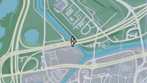
Under the Bridge: Leonida Power and Light
바이스 시티 Balsero에 있는 비행 스턴트 Under the Bridge: Leonida Power and Light. US-10이 운하 위를 지나는 다리 아래로 비행한다.
지도에서 보기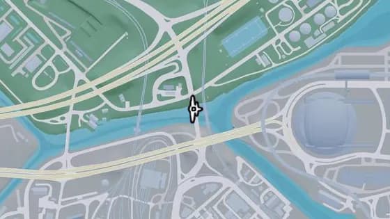
Under the Bridge: RON Gas - Balsero
바이스 시티 Balsero에 있는 비행 스턴트 Under the Bridge: RON Gas - Balsero. SR-25가 운하 위를 지나는 다리 아래로 비행한다.
지도에서 보기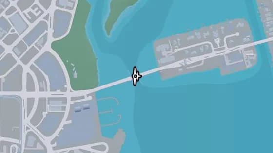
Rivo Bridge
바이스 시티 Bayside에 있는 비행 스턴트 Rivo Bridge. Catalan Island와 Bayside를 잇는 물 위의 다리 아래로 비행한다.
지도에서 보기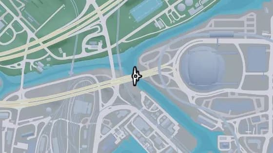
Under the Bridge: Fleeca Field Stadium
바이스 시티 Balsero에 있는 비행 스턴트 Under the Bridge: Fleeca Field Stadium. 경기장 근처, Balsero와 Rockridge를 잇는 운하 위의 다리 아래로 비행한다.
지도에서 보기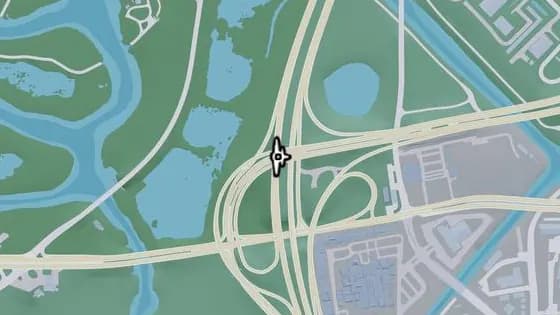
Under the Bridge: Balsero Overpass North
바이스 시티 Balsero에 있는 비행 스턴트 Under the Bridge: Balsero Overpass North. US-10과 US-35를 연결하는 US-35 위의 다리 아래로 비행한다.
지도에서 보기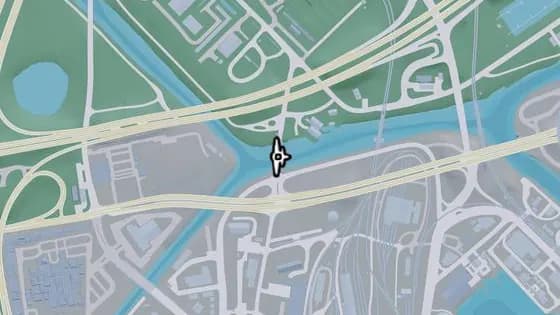
S-17 Canal Swing Bridge
바이스 시티 Balsero에 있는 비행 스턴트 S-17 Canal Swing Bridge. NW 27th St가 운하 위를 지나는 다리 아래로 비행한다.
지도에서 보기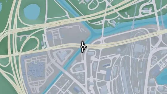
Under the Bridge: Omega Parkway
바이스 시티 Balsero에 있는 비행 스턴트 Under the Bridge: Omega Parkway. Omega Pkwy가 강 위를 지나는 다리 아래로 비행한다.
지도에서 보기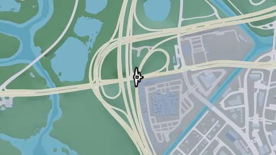
Under the Bridge: Tisha-Wocka Flea Market East
바이스 시티 Balsero에 있는 비행 스턴트 Under the Bridge: Tisha-Wocka Flea Market East. US-35가 Omega Pkwy 위를 지나는 다리 아래로 비행한다.
지도에서 보기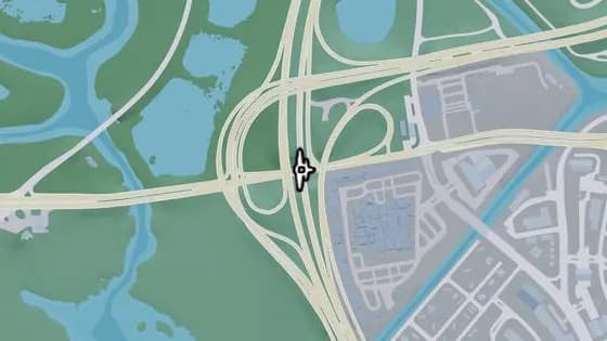
Under the Bridge: Tisha-Wocka Flea Market Central
바이스 시티 Balsero에 있는 비행 스턴트 Under the Bridge: Tisha-Wocka Flea Market Central. US-35가 Omega Pkwy 위를 지나는 다리 아래로 비행한다.
지도에서 보기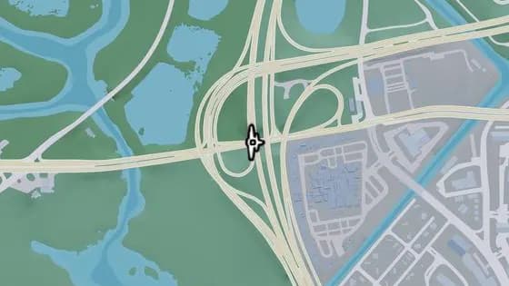
Under the Bridge: Tisha-Wocka Flea Market West
바이스 시티 Balsero에 있는 비행 스턴트 Under the Bridge: Tisha-Wocka Flea Market West. US-35가 Omega Pkwy 위를 지나는 다리 아래로 비행한다.
지도에서 보기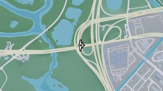
Under the Bridge: Balsero Overpass Central
바이스 시티 Balsero에 있는 비행 스턴트 Under the Bridge: Balsero Overpass Central. Balsero와 Buckskin Swamp 사이, US-10에서 US-35로 가는 램프가 Omega Pkwy 위를 지나는 다리 아래로 비행한다.
지도에서 보기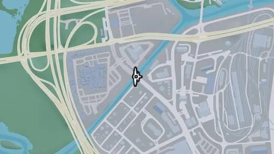
Under the Bridge: Leonida Auto World
바이스 시티 Balsero에 있는 비행 스턴트 Under the Bridge: Leonida Auto World. SR-25가 강 위를 지나는 다리 아래로 비행한다.
지도에서 보기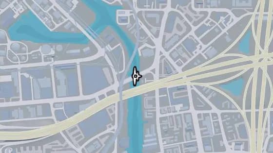
Under the Bridge: Vice River North
바이스 시티 Balsero에 있는 비행 스턴트 Under the Bridge: Vice River North. Balsero와 Rockridge를 잇는 운하 위의 다리 아래로 비행한다.
지도에서 보기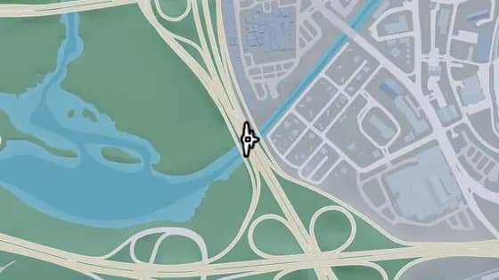
Tisha-Wocka Flea Market Bridge
바이스 시티 Balsero에 있는 비행 스턴트 Tisha-Wocka Flea Market Bridge. US-35가 강 위를 지나는 다리 아래로 비행한다.
지도에서 보기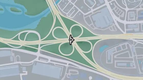
Under the Bridge: Salton Overpass
바이스 시티 Salton에 있는 비행 스턴트 Under the Bridge: Salton Overpass. I-404가 US-35 위를 지나는 다리 아래로 비행한다.
지도에서 보기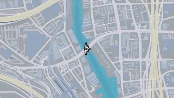
Under the Bridge: Vice River South
바이스 시티 Salton에 있는 비행 스턴트 Under the Bridge: Vice River South. Salton과 Little Cuba를 잇는 운하 위의 다리 아래로 비행한다.
지도에서 보기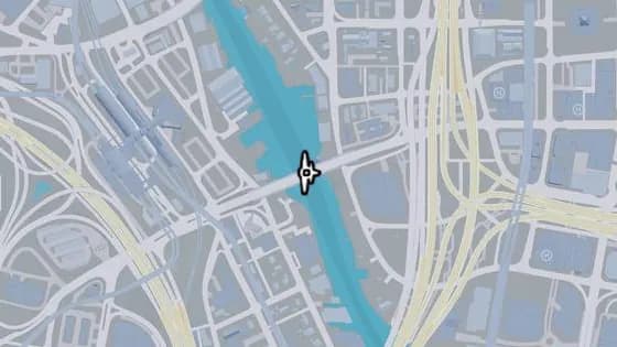
Under the Bridge: West Royale Street
바이스 시티 Salton에 있는 비행 스턴트 Under the Bridge: West Royale Street. Salton과 Little Cuba를 잇는 운하 위의 다리 아래로 비행한다.
지도에서 보기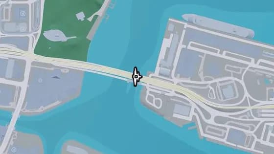
Port VC Bridge
바이스 시티 Port VC에 있는 비행 스턴트 Port VC Bridge. Port Vice City와 Downtown을 잇는 Catalan Bay 위의 다리 아래로 비행한다.
지도에서 보기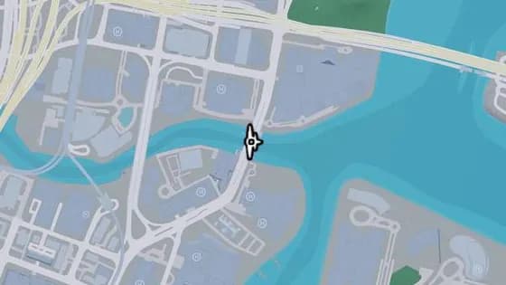
Under the Bridge: Downtown Southeast
바이스 시티 Tequesta에 있는 비행 스턴트 Under the Bridge: Downtown Southeast. Tequesta와 Downtown을 잇는 운하 위의 다리 아래로 비행한다.
지도에서 보기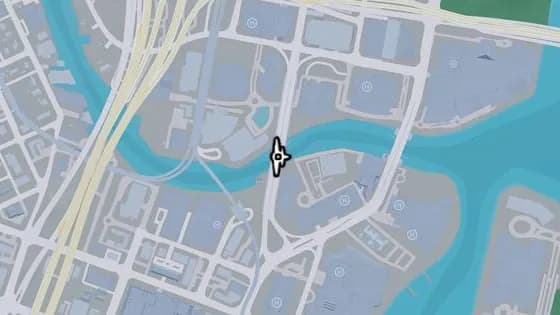
Under the Bridge: Downtown Southwest
바이스 시티 Tequesta에 있는 비행 스턴트 Under the Bridge: Downtown Southwest. Tequesta와 Downtown을 잇는 운하 위의 다리 아래로 비행한다.
지도에서 보기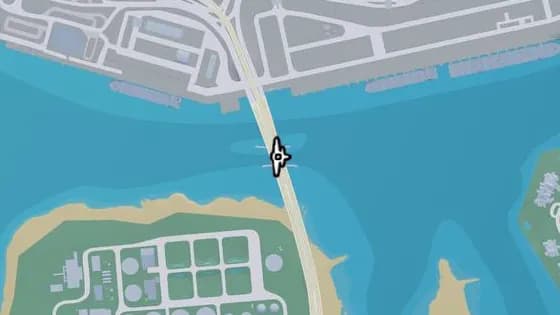
Under the Bridge: Gloriana Key North
바이스 시티 Gloriana Key에 있는 비행 스턴트 Under the Bridge: Gloriana Key North. Port Vice City와 Gloriana Key를 잇는 Catalan Bay 위의 다리 아래로 비행한다.
지도에서 보기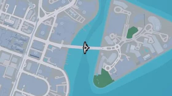
Tequesta Bridge
바이스 시티 Tequesta에 있는 비행 스턴트 Tequesta Bridge. Tequesta와 Tequesta Retreat를 잇는 Catalan Bay 위의 다리 아래로 비행한다.
지도에서 보기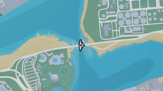
Under the Bridge: Catalan Key East
바이스 시티 Gloriana Key에 있는 비행 스턴트 Under the Bridge: Catalan Key East. Catalan Key와 Gloriana Key를 잇는 Catalan Bay 위의 다리 아래로 비행한다.
지도에서 보기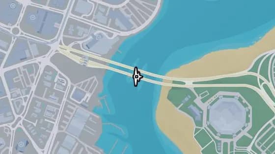
Under the Bridge: Catalan Key West
바이스 시티 Peacock Bay에 있는 비행 스턴트 Under the Bridge: Catalan Key West. Catalan Key와 Peacock Bay를 잇는 Catalan Bay 위의 다리 아래로 비행한다.
지도에서 보기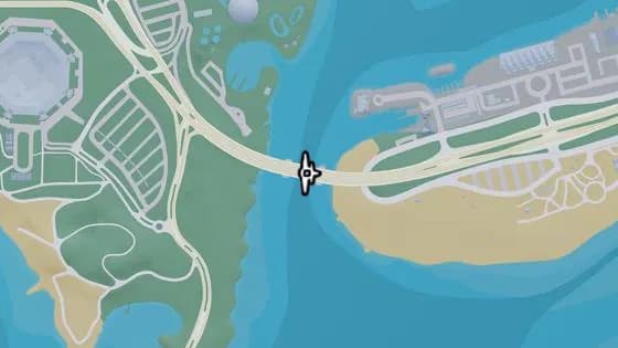
Under the Bridge: Gloriana Key West
바이스 시티 Gloriana Key에 있는 비행 스턴트 Under the Bridge: Gloriana Key West. Gloriana Key와 Catalan Key를 잇는 바다 위의 다리 아래로 비행한다.
지도에서 보기
Vice Beach — 비행 스턴트26
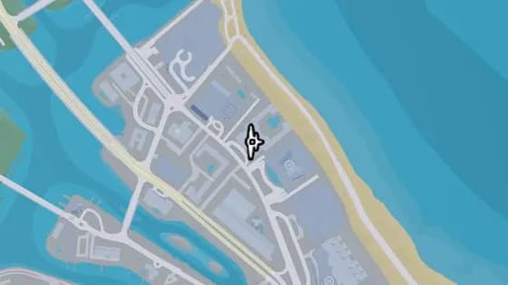
Brandy Carmine Knife Flight
Vice Beach Washington Beach에 있는 비행 스턴트 Brandy Carmine Knife Flight. Washington Beach 북부 Brandy Carmine 건물의 두 타워 사이로 비행한다.
지도에서 보기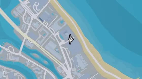
Maison Estaque Knife Flight
Vice Beach Washington Beach에 있는 비행 스턴트 Maison Estaque Knife Flight. Vice Beach 북부 Maison Estaque와 Crimson Palms Condominiums 사이로 비행한다.
지도에서 보기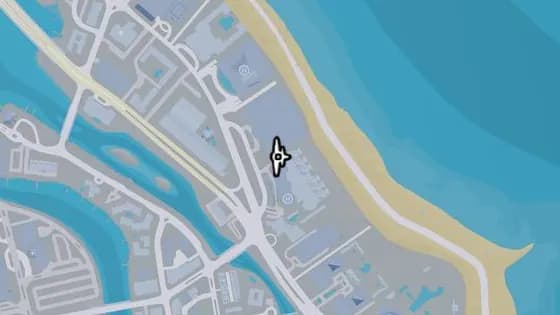
The Wash Haus Knife Flight
Vice Beach Washington Beach에 있는 비행 스턴트 The Wash Haus Knife Flight. Vice Beach 북부 Maison Estaque와 Wash Haus 건물 사이로 비행한다.
지도에서 보기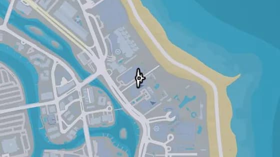
Jia Luxury Condos Knife Flight
Vice Beach Washington Beach에 있는 비행 스턴트 Jia Luxury Condos Knife Flight. Vice Beach 북부 도로 위, Jia Luxury Condos 건물과 Zaffre 타워 사이로 비행한다.
지도에서 보기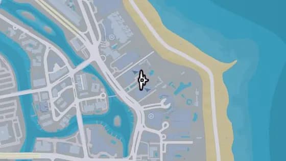
The Zaffre Knife Flight
Vice Beach Washington Beach에 있는 비행 스턴트 The Zaffre Knife Flight. Vice Beach 북부 Zaffre 리조트의 두 타워 사이로 비행한다.
지도에서 보기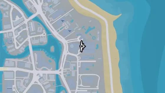
Lampedusa Knife Flight
Vice Beach Washington Beach에 있는 비행 스턴트 Lampedusa Knife Flight. Vice Beach 북부 Lampedusa 리조트의 두 건물 사이로 비행한다.
지도에서 보기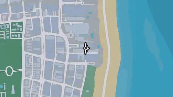
The Amalfi Knife Flight
Vice Beach Ocean Beach에 있는 비행 스턴트 The Amalfi Knife Flight. Ocean Beach 북동부 좁은 골목 위, Amalfi 타워와 그 옆 건물 사이로 비행한다.
지도에서 보기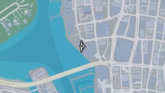
Harrison Harbor Knife Flight
Vice Beach Ocean Beach에 있는 비행 스턴트 Harrison Harbor Knife Flight. Ocean Beach 서부 Harrison Harbor 건물의 두 타워 사이로 비행한다.
지도에서 보기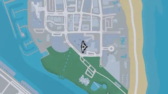
Positano Towers Knife Flight
Vice Beach Ocean Beach에 있는 비행 스턴트 Positano Towers Knife Flight. Vice Beach 남부 Positano Towers의 두 건물 사이로 비행한다.
지도에서 보기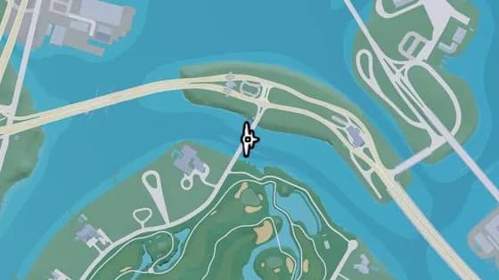
Delamore Bridge
Vice Beach Atlantic Island에 있는 비행 스턴트 Delamore Bridge. Leaf Links와 Atlantic Island를 잇는 강 위의 다리 아래로 비행한다.
지도에서 보기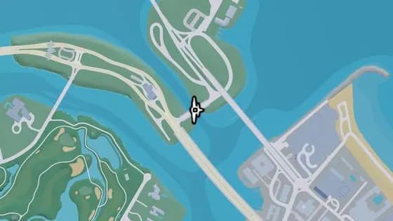
Under the Bridge: Tidal Avenue
Vice Beach Flamingo Island에 있는 비행 스턴트 Under the Bridge: Tidal Avenue. Atlantic Island와 Flamingo Island를 잇는 물 위의 다리 아래로 비행한다.
지도에서 보기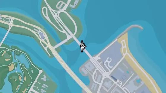
Under the Bridge: Flamingo Parkway South
Vice Beach Flamingo Island에 있는 비행 스턴트 Under the Bridge: Flamingo Parkway South. Flamingo Island와 Washington Beach를 잇는 바다 위의 다리 아래로 비행한다.
지도에서 보기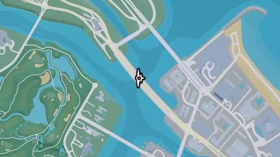
Under the Bridge: Atlantic Avenue
Vice Beach Atlantic Island에 있는 비행 스턴트 Under the Bridge: Atlantic Avenue. Atlantic Island와 Washington Beach를 잇는 강 위의 다리 아래로 비행한다.
지도에서 보기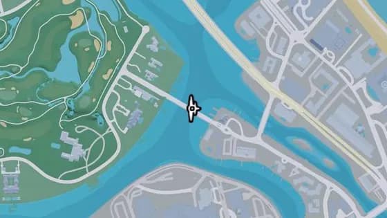
Oleander Bridge
Vice Beach Leaf Links에 있는 비행 스턴트 Oleander Bridge. Washington Island와 Leaf Links를 잇는 강 위의 다리 아래로 비행한다.
지도에서 보기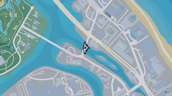
Under the Bridge: Mariposa Avenue
Vice Beach Washington Beach에 있는 비행 스턴트 Under the Bridge: Mariposa Avenue. Washington Island와 Washington Beach를 잇는 강 위의 다리 아래로 비행한다.
지도에서 보기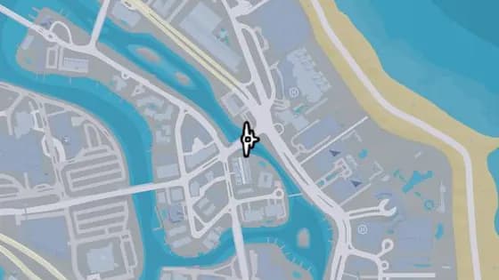
Under the Bridge: Vineyard Drive East
Vice Beach Washington Beach에 있는 비행 스턴트 Under the Bridge: Vineyard Drive East. Washington Island와 Washington Beach 사이, Vineyard Dr가 운하 위를 지나는 다리 아래로 비행한다.
지도에서 보기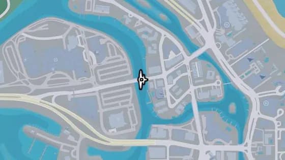
Under the Bridge: Vineyard Drive West
Washington Beach Washington Island에 있는 비행 스턴트 Under the Bridge: Vineyard Drive West. Penmarch Isle과 Washington Island를 잇는 강 위의 다리 아래로 비행한다.
지도에서 보기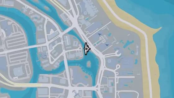
Bonita Court Footbridge
Vice Beach Washington Beach에 있는 비행 스턴트 Bonita Court Footbridge. Washington Island와 Washington Beach를 잇는 강 위의 다리 아래로 비행한다.
지도에서 보기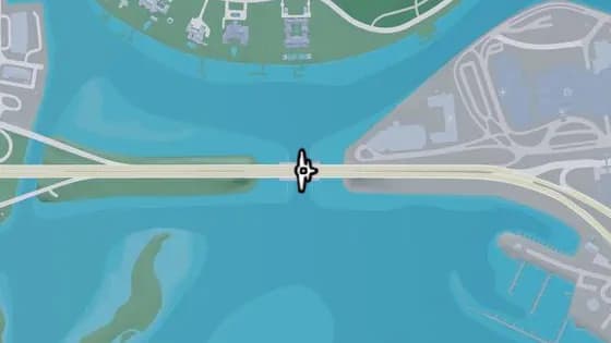
Under the Bridge: Washington Beach West
Washington Beach Penmarch Isle에 있는 비행 스턴트 Under the Bridge: Washington Beach West. Penmarch Isle과 Bayside를 잇는 물 위의 다리 아래로 비행한다.
지도에서 보기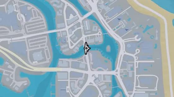
Under the Bridge: Oleander Boulevard
Washington Beach Washington Island에 있는 비행 스턴트 Under the Bridge: Oleander Boulevard. Washington Island와 Oldby Island를 잇는 강 위의 다리 아래로 비행한다.
지도에서 보기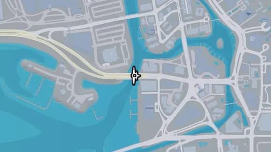
Under the Bridge: Ajax Gym / Lawton Theater
Washington Beach Oldby Island에 있는 비행 스턴트 Under the Bridge: Ajax Gym / Lawton Theater. Penmarch Isle과 Oldby Island를 잇는 강 위의 다리 아래로 비행한다.
지도에서 보기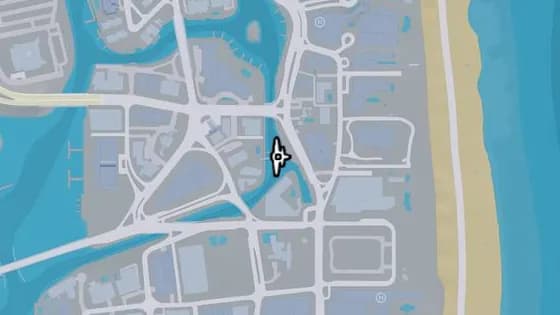
Washington Beach Footbridge
Vice Beach Washington Beach에 있는 비행 스턴트 Washington Beach Footbridge. Washington Beach와 Oldby Island를 잇는 운하 위의 다리 아래로 비행한다.
지도에서 보기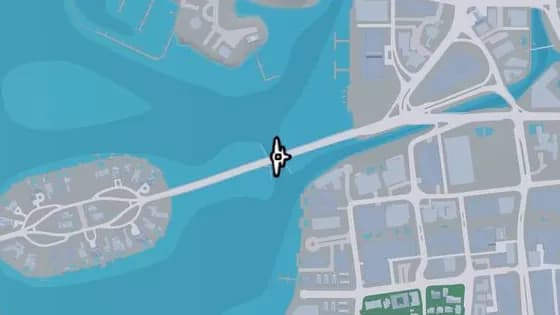
Casanova Island Bridge
Vice Beach Washington Beach에 있는 비행 스턴트 Casanova Island Bridge. Casanova Island와 Oldby Island를 잇는 물 위의 다리 아래로 비행한다.
지도에서 보기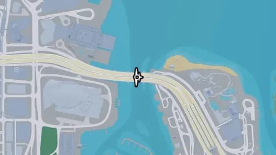
Under the Bridge: Macalister Causeway
Vice Beach Waxman Island에 있는 비행 스턴트 Under the Bridge: Macalister Causeway. Waxman Island와 Downtown을 잇는 물 위의 다리 아래로 비행한다.
지도에서 보기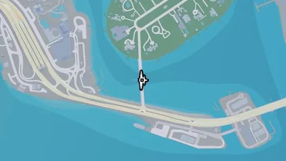
Under the Bridge: Starfish Island
Vice Beach Starfish Island에 있는 비행 스턴트 Under the Bridge: Starfish Island. Waxman Island와 Starfish Island를 잇는 물 위의 다리 아래로 비행한다.
지도에서 보기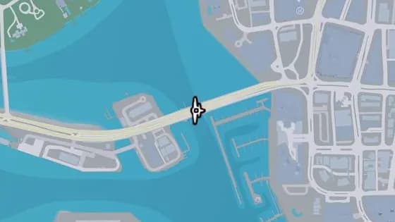
Under the Bridge: Waxman Island East
Vice Beach Ocean Beach에 있는 비행 스턴트 Under the Bridge: Waxman Island East. Waxman Island와 Ocean Beach를 잇는 물 위의 다리 아래로 비행한다.
지도에서 보기
Vice-Dale County 기타 지역 — 비행 스턴트12
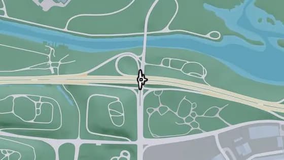
Under the Bridge: Cargo Road
West Vice-Dale County에 있는 비행 스턴트 Under the Bridge: Cargo Road. I-404가 Cargo Rd 위를 지나는 다리 아래로 비행한다.
지도에서 보기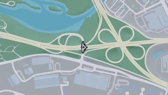
Under the Bridge: West Vice-Dale County North
West Vice-Dale County에 있는 비행 스턴트 Under the Bridge: West Vice-Dale County North. I-404가 자신의 램프 중 하나 위를 지나는 다리 아래로 비행한다.
지도에서 보기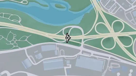
Under the Bridge: West Vice-Dale County Northeast
West Vice-Dale County에 있는 비행 스턴트 Under the Bridge: West Vice-Dale County Northeast. I-404가 자신의 램프 중 하나 위를 지나는 다리 아래로 비행한다.
지도에서 보기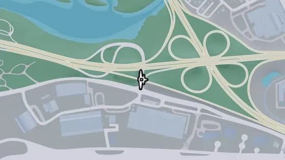
Under the Bridge: West Vice-Dale County South
West Vice-Dale County에 있는 비행 스턴트 Under the Bridge: West Vice-Dale County South. I-404가 자신의 램프 중 하나 위를 지나는 다리 아래로 비행한다.
지도에서 보기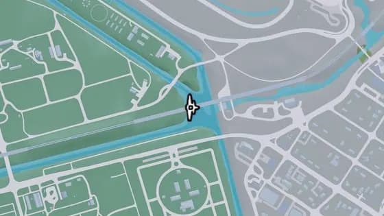
Under the Bridge: Fuzzard Drain Canal Railroad East
South Vice-Dale County Bluegrass에 있는 비행 스턴트 Under the Bridge: Fuzzard Drain Canal Railroad East. Bluegrass에서 VCIA로 가는 노선의, 운하 위 철교 아래로 비행한다.
지도에서 보기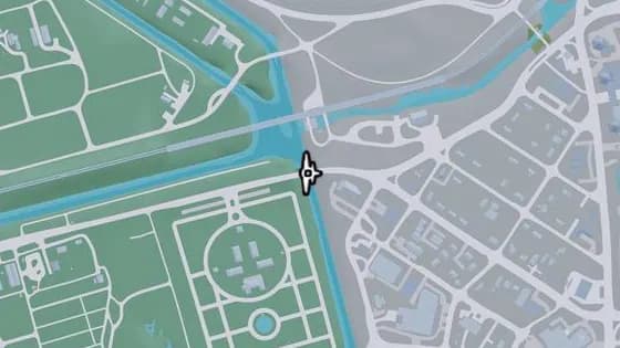
Under the Bridge: Southside West
South Vice-Dale County Bluegrass에 있는 비행 스턴트 Under the Bridge: Southside West. Bluegrass와 Southside를 잇는 운하 위의 다리 아래로 비행한다.
지도에서 보기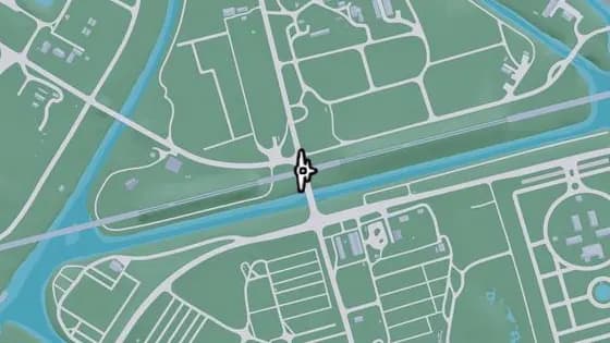
Bluegrass Railroad Bridge
South Vice-Dale County Bluegrass에 있는 비행 스턴트 Bluegrass Railroad Bridge. Bluegrass 북쪽, 철로가 Farmers Walk 위를 지나는 철교 아래로 비행한다.
지도에서 보기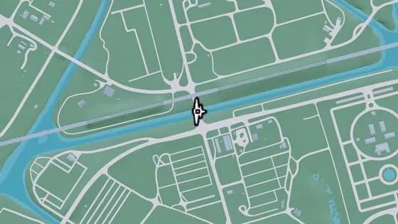
Under the Bridge: Fuzzard Drain Canal
South Vice-Dale County Bluegrass에 있는 비행 스턴트 Under the Bridge: Fuzzard Drain Canal. Bluegrass의 북부와 남부를 잇는 운하 위의 다리 아래로 비행한다.
지도에서 보기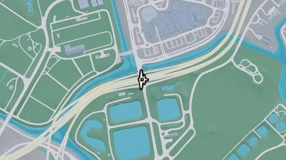
Under the Bridge: South Vice-Dale County Overpass
South Vice-Dale County에 있는 비행 스턴트 Under the Bridge: South Vice-Dale County Overpass. Hamlet에서 US-82가 Calderone Ave 위를 지나는 다리 아래로 비행한다.
지도에서 보기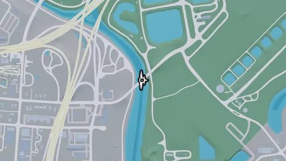
Under the Bridge: Emory Avenue
Vice-Dale County Hamlet에 있는 비행 스턴트 Under the Bridge: Emory Avenue. Hamlet과 South Vice-Dale County를 잇는 Pelican River 위의 다리 아래로 비행한다.
지도에서 보기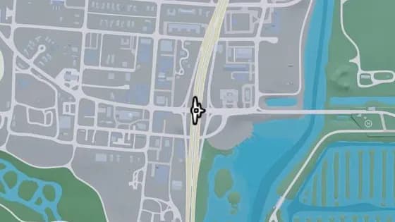
Under the Bridge: Hamlet Overpass
Vice-Dale County Hamlet에 있는 비행 스턴트 Under the Bridge: Hamlet Overpass. Hamlet의 북부와 남부를 잇는 Palmetto Ave 위의 다리 아래로 비행한다.
지도에서 보기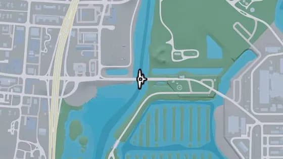
Under the Bridge: Bright Maw Pass
Vice-Dale County Hamlet에 있는 비행 스턴트 Under the Bridge: Bright Maw Pass. Hamlet과 South Vice-Dale County를 잇는 Pelican River 위의 다리 아래로 비행한다.
지도에서 보기
Mariana County — 비행 스턴트39
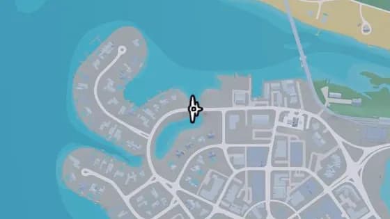
Under the Bridge: Capri Island
Mariana County Capri에 있는 비행 스턴트 Under the Bridge: Capri Island. Vela Rota Dr가 물 위를 지나는 다리 아래로 비행한다.
지도에서 보기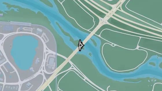
Emerald Bridge
Mariana County Capri에 있는 비행 스턴트 Emerald Bridge. Capri와 South Kelly County를 잇는 강 위의 다리 아래로 비행한다.
지도에서 보기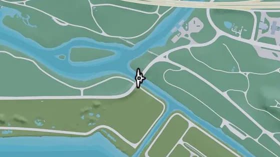
Under the Bridge: Terrapin Road
North Mariana County에 있는 비행 스턴트 Under the Bridge: Terrapin Road. North Mariana County와 West Vice-Dale County를 잇는 강 위의 다리 아래로 비행한다.
지도에서 보기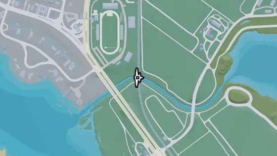
Under the Bridge: Nehrling River Railroad
Mariana County Capri에 있는 비행 스턴트 Under the Bridge: Nehrling River Railroad. Capri와 North Mariana County 사이, 철로가 Nehrling River 위를 지나는 철교 아래로 비행한다.
지도에서 보기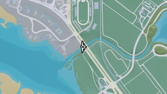
Under the Bridge: Nehrling River West
Mariana County Capri에 있는 비행 스턴트 Under the Bridge: Nehrling River West. Capri와 North Mariana County 사이, US-82가 Nehrling River 위를 지나는 다리 아래로 비행한다.
지도에서 보기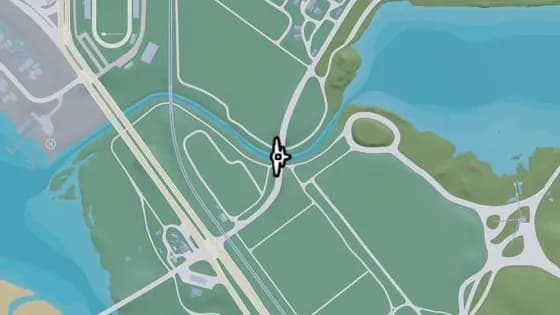
Under the Bridge: Nehrling River East
North Mariana County에 있는 비행 스턴트 Under the Bridge: Nehrling River East. Capri와 North Mariana County 사이, Pigeon Plum Rd가 Nehrling River 위를 지나는 다리 아래로 비행한다.
지도에서 보기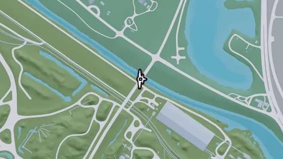
Under the Bridge: Caprice City Canal
North Mariana County에 있는 비행 스턴트 Under the Bridge: Caprice City Canal. Breakwater Quarry와 West Vice-Dale County를 잇는 운하 위의 다리 아래로 비행한다.
지도에서 보기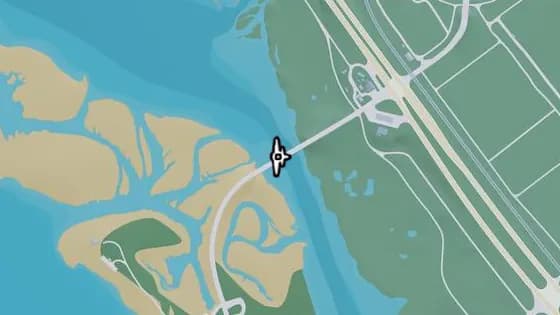
Under the Bridge: Bobcat Key North
Mariana County Bobcat Key에 있는 비행 스턴트 Under the Bridge: Bobcat Key North. Bobcat Key와 North Mariana County를 잇는 Bobcat Bight 위의 다리 아래로 비행한다.
지도에서 보기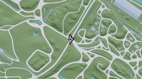
Under the Bridge: Breakwater Quarry
North Mariana County에 있는 비행 스턴트 Under the Bridge: Breakwater Quarry. Union Rd가 비포장도로 위를 지나는 다리 아래로 비행한다.
지도에서 보기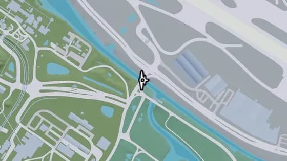
Under the Bridge: Seabell Avenue
North Mariana County Breakwater Quarry에 있는 비행 스턴트 Under the Bridge: Seabell Avenue. Breakwater Quarry와 VCIA를 잇는 운하 위의 다리 아래로 비행한다.
지도에서 보기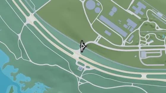
Under the Bridge: North Mariana County Railroad West
North Mariana County에 있는 비행 스턴트 Under the Bridge: North Mariana County Railroad West. Union Rd가 철로 위를 지나는 다리 아래로 비행한다.
지도에서 보기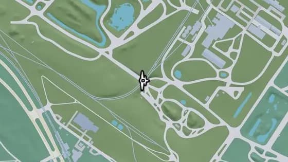
Under the Bridge: Goliath Global Quarry
North Mariana County Breakwater Quarry에 있는 비행 스턴트 Under the Bridge: Goliath Global Quarry. 철로가 채석장 위를 지나는 철교 아래로 비행한다.
지도에서 보기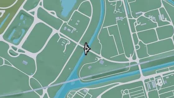
Under the Bridge: Bluegrass North
North Mariana County Breakwater Quarry에 있는 비행 스턴트 Under the Bridge: Bluegrass North. Bluegrass와 North Mariana County를 잇는 운하 위의 다리 아래로 비행한다.
지도에서 보기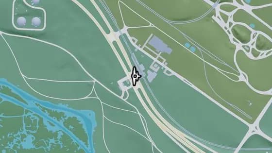
SND Station Footbridge
Mariana County 그래스리버스에 있는 비행 스턴트 SND Station Footbridge. 그래스리버스와 North Mariana County 사이, US-82를 가로지르는 보행자용 다리 아래로 비행한다.
지도에서 보기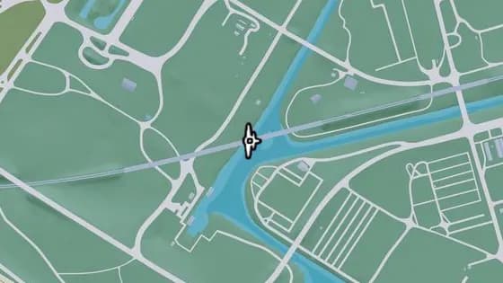
Under the Bridge: Fuzzard Drain Canal Railroad West
North Mariana County Breakwater Quarry에 있는 비행 스턴트 Under the Bridge: Fuzzard Drain Canal Railroad West. Bluegrass와 North Mariana County 사이 노선의, 운하 위 철교 아래로 비행한다.
지도에서 보기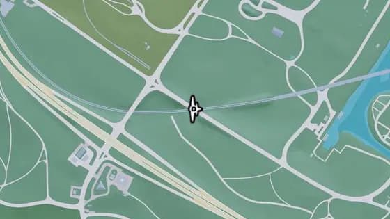
Under the Bridge: North Mariana County Railroad Southeast
North Mariana County Breakwater Quarry에 있는 비행 스턴트 Under the Bridge: North Mariana County Railroad Southeast. SW 3rd Ave가 철로 위를 지나는 다리 아래로 비행한다.
지도에서 보기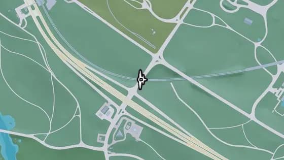
Under the Bridge: North Mariana County Railroad Southwest
North Mariana County Breakwater Quarry에 있는 비행 스턴트 Under the Bridge: North Mariana County Railroad Southwest. Seabell Ave가 철로 위를 지나는 다리 아래로 비행한다.
지도에서 보기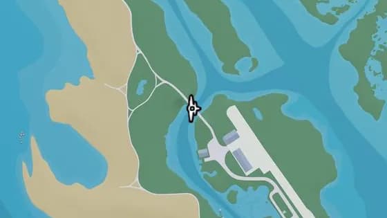
Under the Bridge: Bobcat Key Central
Mariana County Bobcat Key에 있는 비행 스턴트 Under the Bridge: Bobcat Key Central. Loggerhead Rd가 물 위를 지나는 다리 아래로 비행한다.
지도에서 보기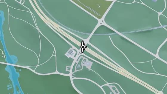
Under the Bridge: North Mariana County Overpass
Mariana County 그래스리버스에 있는 비행 스턴트 Under the Bridge: North Mariana County Overpass. 그래스리버스와 North Mariana County 사이, US-82가 Seabell Ave 위를 지나는 다리 아래로 비행한다.
지도에서 보기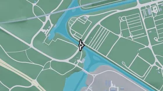
Under the Bridge: Bluegrass South
North Mariana County Breakwater Quarry에 있는 비행 스턴트 Under the Bridge: Bluegrass South. North Mariana County와 South Vice-Dale County를 잇는 Pelican River 위의 다리 아래로 비행한다.
지도에서 보기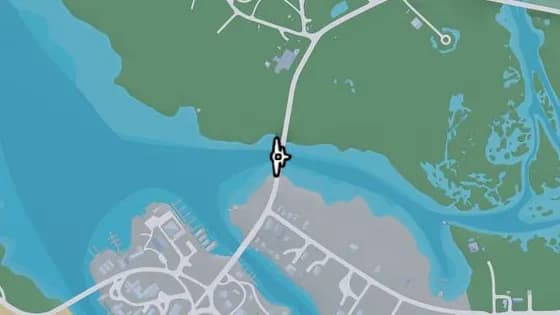
Under the Bridge: North Watson Bay
Mariana County 왓슨 베이에 있는 비행 스턴트 Under the Bridge: North Watson Bay. 왓슨 베이와 Grasslands를 잇는 강 위의 다리 아래로 비행한다.
지도에서 보기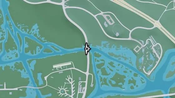
Under the Bridge: East Big Pine
Mariana County 왓슨 베이에 있는 비행 스턴트 Under the Bridge: East Big Pine. 왓슨 베이와 그래스리버스를 잇는 Pelican River 위의 다리 아래로 비행한다.
지도에서 보기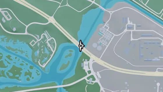
Under the Bridge: Pelican River
Mariana County 그래스리버스에 있는 비행 스턴트 Under the Bridge: Pelican River. Hamlet과 그래스리버스를 잇는 Pelican River 위의 다리 아래로 비행한다.
지도에서 보기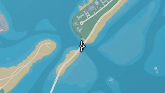
Under the Bridge: Catalan Key South
Mariana County Corsair Key에 있는 비행 스턴트 Under the Bridge: Catalan Key South. Corsair Key와 Catalan Key를 잇는 바다 위의 다리 아래로 비행한다.
지도에서 보기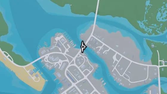
Under the Bridge: Gavin's Creek West
Mariana County 왓슨 베이에 있는 비행 스턴트 Under the Bridge: Gavin's Creek West. 왓슨 베이의 북부와 남부를 잇는 Gavin's Creek 위의 다리 아래로 비행한다.
지도에서 보기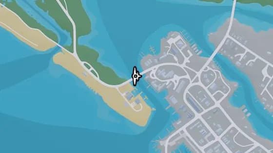
Under the Bridge: Bobcat Key South
Mariana County Bobcat Key에 있는 비행 스턴트 Under the Bridge: Bobcat Key South. Bobcat Key와 왓슨 베이를 잇는 Bobcat Bight 위의 다리 아래로 비행한다.
지도에서 보기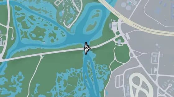
Under the Bridge: Atlee River
그래스리버스 Pelican Valley에 있는 비행 스턴트 Under the Bridge: Atlee River. Gullet Marsh와 Hamlet을 잇는 Pelican River 위의 다리 아래로 비행한다.
지도에서 보기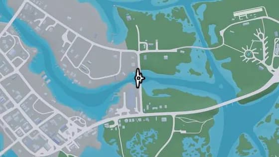
Under the Bridge: Gavin's Creek East
Mariana County 왓슨 베이에 있는 비행 스턴트 Under the Bridge: Gavin's Creek East. Buckeye Rd가 Gavin's Creek 위를 지나는 다리 아래로 비행한다.
지도에서 보기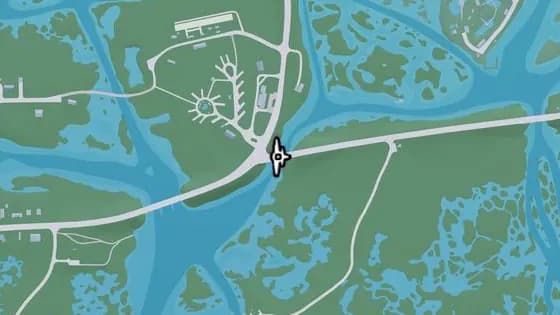
Under the Bridge: East Watson Bay
Mariana County 왓슨 베이에 있는 비행 스턴트 Under the Bridge: East Watson Bay. 왓슨 베이와 Gullet Marsh를 잇는 Pelican River 위의 다리 아래로 비행한다.
지도에서 보기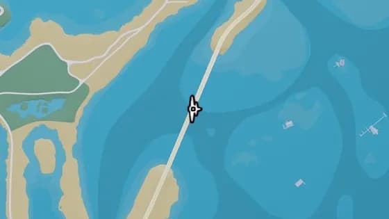
Under the Bridge: North Isla Maldia
Mariana County Corsair Key에 있는 비행 스턴트 Under the Bridge: North Isla Maldia. Corsair Key의 북부와 남부를 잇는 바다 위의 다리 아래로 비행한다.
지도에서 보기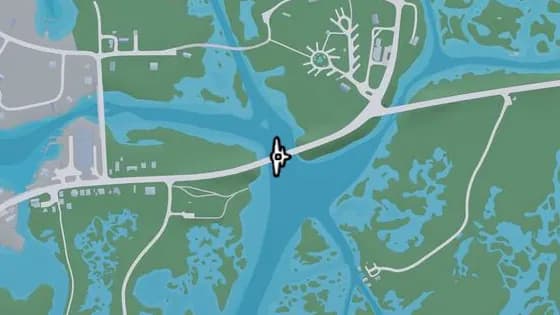
Under the Bridge: Watson Bay
Mariana County 왓슨 베이에 있는 비행 스턴트 Under the Bridge: Watson Bay. 왓슨 베이와 Paradise RV Park를 잇는 Pelican River 위의 다리 아래로 비행한다.
지도에서 보기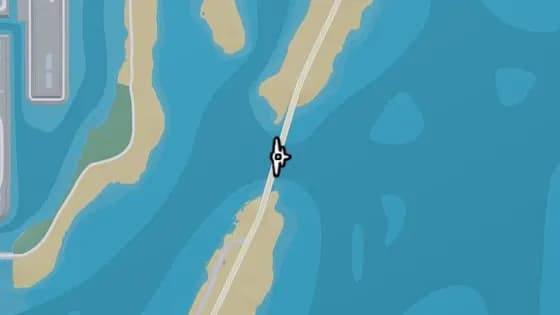
Under the Bridge: Isla Maldia
Mariana County Corsair Key에 있는 비행 스턴트 Under the Bridge: Isla Maldia. Corsair Key의 북부와 남부를 잇는 Peregrine Bay 위의 다리 아래로 비행한다.
지도에서 보기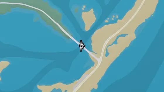
Under the Bridge: South Isla Maldia
Mariana County Corsair Key에 있는 비행 스턴트 Under the Bridge: South Isla Maldia. Corsair Key와 Shoeless Keys를 잇는 Peregrine Bay 위의 다리 아래로 비행한다.
지도에서 보기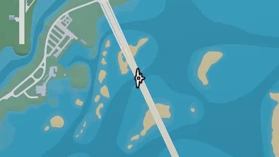
Under the Bridge: Lento Causeway
Mariana County Shoeless Keys에 있는 비행 스턴트 Under the Bridge: Lento Causeway. Key Lento와 Hamlet을 잇는 Gambit Bay 위의 다리 아래로 비행한다.
지도에서 보기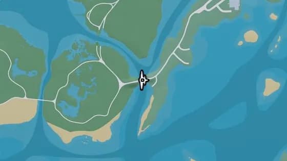
Old Fort Road Bridge
Mariana County 그래스리버스에 있는 비행 스턴트 Old Fort Road Bridge. Shoeless Keys와 Pelican Valley 사이, Longneck Trl이 강 위를 지나는 다리 아래로 비행한다.
지도에서 보기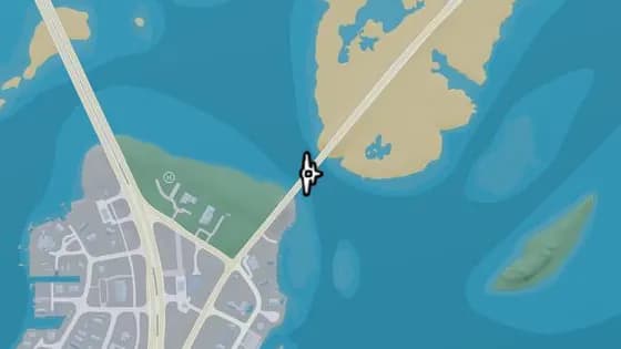
Under the Bridge: North Key Lento
Mariana County Key Lento에 있는 비행 스턴트 Under the Bridge: North Key Lento. Key Lento와 Corsair Key를 잇는 Gambit Bay 위의 다리 아래로 비행한다.
지도에서 보기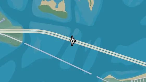
Under the Bridge: Permit Causeway
Mariana County Mile Zero Air Station에 있는 비행 스턴트 Under the Bridge: Permit Causeway. Mile Zero Air Station과 Abismo Key를 잇는 바다 위의 다리 아래로 비행한다.
지도에서 보기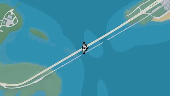
Under the Bridge: Keylime Causeway
Mariana County Abismo Key에 있는 비행 스턴트 Under the Bridge: Keylime Causeway. Abismo Key와 Key Lento를 잇는 바다 위의 다리 아래로 비행한다.
지도에서 보기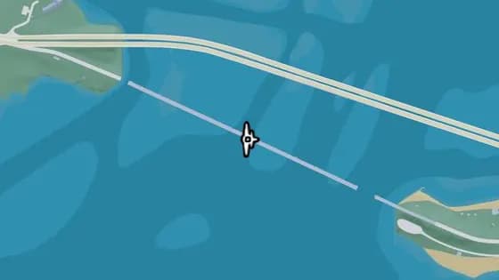
Saltrock Bridge
Mariana County Mile Zero Air Station에 있는 비행 스턴트 Saltrock Bridge. Mile Zero Air Station과 Abismo Key를 잇는 바다 위의 다리 아래로 비행한다.
지도에서 보기
Kelly County — 비행 스턴트52
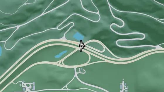
Under the Bridge: North Kelly County Overpass West
North Kelly County에 있는 비행 스턴트 Under the Bridge: North Kelly County Overpass West. Moonstone Hwy와 I-297을 잇는 I-297 위의 다리 아래로 비행한다.
지도에서 보기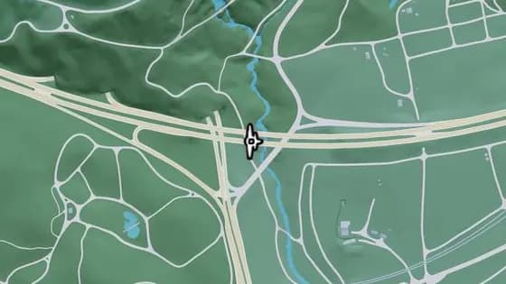
Under the Bridge: North Leonard County Overpass North
North Kelly County에 있는 비행 스턴트 Under the Bridge: North Leonard County Overpass North. North Kelly County와 North Leonard County 사이, I-297의 동쪽과 서쪽 구간을 잇는 도로 위의 다리 아래로 비행한다.
지도에서 보기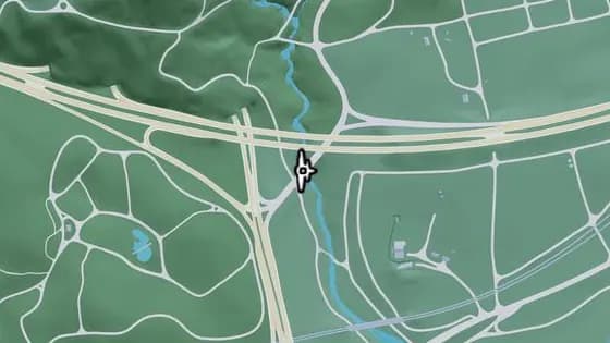
Under the Bridge: Kalaga River
North Kelly County에 있는 비행 스턴트 Under the Bridge: Kalaga River. North Kelly County와 North Leonard County 사이, Tallaloko Lake Rd의 북쪽과 남쪽 구간을 잇는 Kalaga River 위의 다리 아래로 비행한다.
지도에서 보기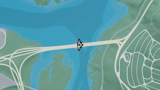
Under the Bridge: Draper Island East
Kelly County Draper Island에 있는 비행 스턴트 Under the Bridge: Draper Island East. Draper Island와 Manifest Canyon을 잇는 Draper Bay 위의 다리 아래로 비행한다.
지도에서 보기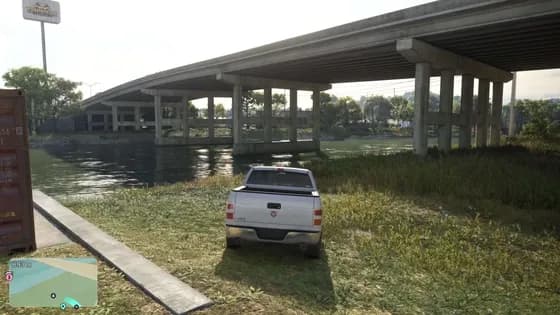
Under the Bridge: North Kelly County Overpass East
North Kelly County에 있는 비행 스턴트 Under the Bridge: North Kelly County Overpass East. US-35의 북쪽과 남쪽 구간을 잇는 SR-27 위의 다리 아래로 비행한다.
지도에서 보기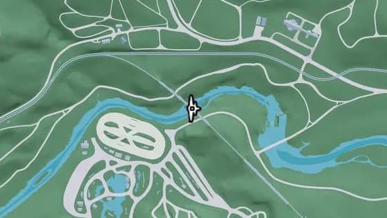
Under the Bridge: Saputka River Railroad East
North Kelly County에 있는 비행 스턴트 Under the Bridge: Saputka River Railroad East. North Kelly County와 Frogswater 사이, 남북 철로가 지나는 Saputka River 위의 다리 아래로 비행한다.
지도에서 보기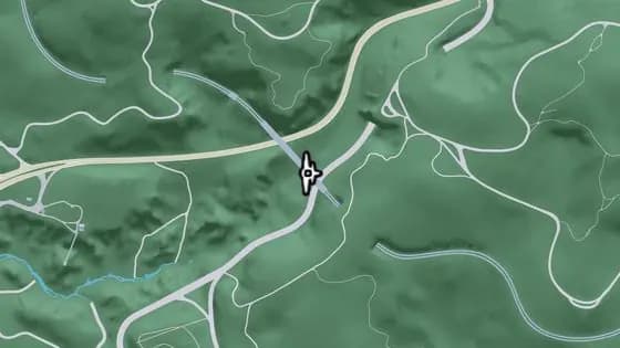
Under the Bridge: Providence Canyon Railroad
Kelly County Manifest Canyon에 있는 비행 스턴트 Under the Bridge: Providence Canyon Railroad. Manifest Canyon에서 철로의 북쪽과 남쪽 구간을 잇는, 산을 가로지르는 철교 아래로 비행한다.
지도에서 보기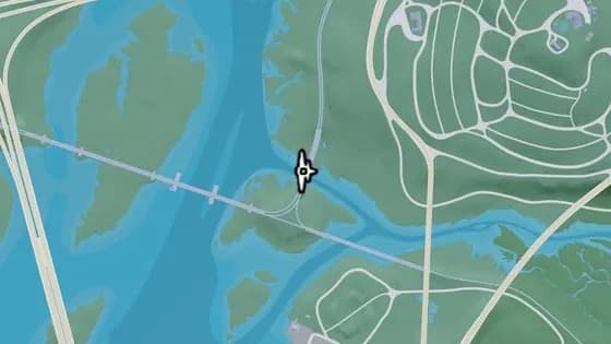
Under the Bridge: Saputka River Railroad North
Kelly County Manifest Canyon에 있는 비행 스턴트 Under the Bridge: Saputka River Railroad North. Manifest Canyon과 포트 겔혼 사이, Saputka River 위의 철교 아래로 비행한다.
지도에서 보기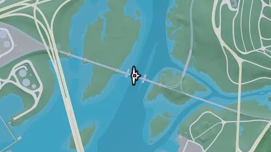
Draper Island Bridge
Kelly County Draper Island에 있는 비행 스턴트 Draper Island Bridge. Draper Island와 포트 겔혼 사이, Draper Bay 위의 철교 아래로 비행한다.
지도에서 보기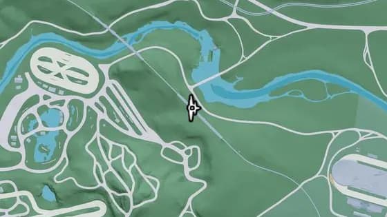
Under the Bridge: North Frogswater Railroad
Frogswater Thrillbilly Mud Club에 있는 비행 스턴트 Under the Bridge: North Frogswater Railroad. Frogswater에서 남북 노선이 지나는, 산을 가로지르는 철교 아래로 비행한다.
지도에서 보기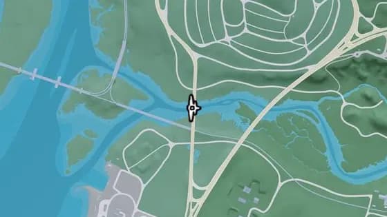
Under the Bridge: Saputka River West
Kelly County Manifest Canyon에 있는 비행 스턴트 Under the Bridge: Saputka River West. 포트 겔혼과 Manifest Canyon 사이, SR-45의 북쪽과 남쪽 구간을 잇는 Saputka River 위의 다리 아래로 비행한다.
지도에서 보기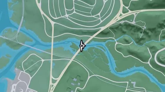
Under the Bridge: Saputka River
Kelly County Manifest Canyon에 있는 비행 스턴트 Under the Bridge: Saputka River. 포트 겔혼과 Manifest Canyon 사이, Moonstone Hwy의 북쪽과 남쪽 구간을 잇는 Saputka River 위의 다리 아래로 비행한다.
지도에서 보기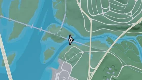
Under the Bridge: Saputka River Railroad West
Kelly County 포트 겔혼에 있는 비행 스턴트 Under the Bridge: Saputka River Railroad West. 포트 겔혼과 Draper Island 사이, Saputka River 위의 철교 아래로 비행한다.
지도에서 보기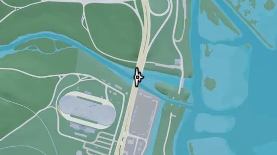
Under the Bridge: Saputka River Mouth
North Kelly County에 있는 비행 스턴트 Under the Bridge: Saputka River Mouth. North Kelly County와 앰브로시아 사이, US-35의 북쪽과 남쪽 구간을 잇는 Saputka River 위의 다리 아래로 비행한다.
지도에서 보기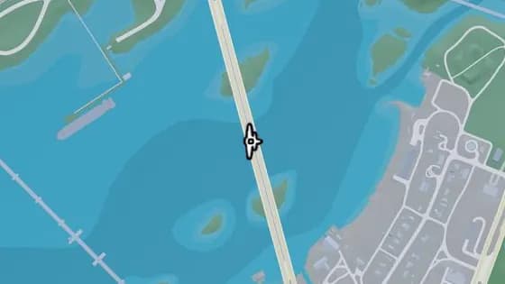
Under the Bridge: Draper Island South
Kelly County 포트 겔혼에 있는 비행 스턴트 Under the Bridge: Draper Island South. Draper Island와 포트 겔혼을 잇는 Draper Bay 위의 다리 아래로 비행한다.
지도에서 보기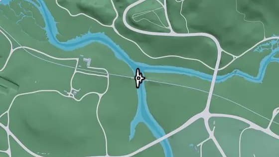
Under the Bridge: Saputka River Railroad
Kelly County Gellhorn에 있는 비행 스턴트 Under the Bridge: Saputka River Railroad. Frogswater와 Gellhorn 사이, 동서 철로가 지나는 Saputka River 위의 다리 아래로 비행한다.
지도에서 보기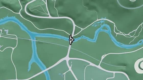
Under the Bridge: Saputka River East
Kelly County Manifest Canyon에 있는 비행 스턴트 Under the Bridge: Saputka River East. 포트 겔혼과 Manifest Canyon 사이, US-70의 북쪽과 남쪽 구간을 잇는 Saputka River 위의 다리 아래로 비행한다.
지도에서 보기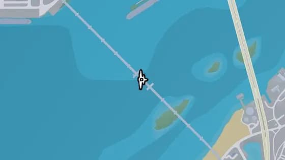
Gowing Railroad Bridge
Kelly County Draper Island에 있는 비행 스턴트 Gowing Railroad Bridge. Draper Island와 포트 겔혼 사이, Draper Bay 위의 철교 아래로 비행한다.
지도에서 보기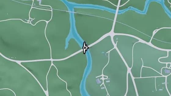
Under the Bridge: Kelly River North
Kelly County Gellhorn에 있는 비행 스턴트 Under the Bridge: Kelly River North. Gellhorn과 Frogswater 사이, SR-32의 동쪽과 서쪽 구간을 잇는 Kelly River 위의 다리 아래로 비행한다.
지도에서 보기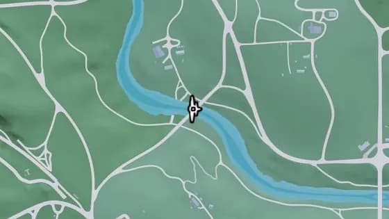
Graffiti Bridge
Kelly County Frogswater에 있는 비행 스턴트 Graffiti Bridge. Gellhorn과 Frogswater를 잇는 Kelly River 위의 다리 아래로 비행한다.
지도에서 보기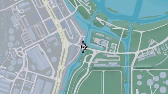
Under the Bridge: Allied Crystal Pipeline
Kelly County 앰브로시아에 있는 비행 스턴트 Under the Bridge: Allied Crystal Pipeline. SR-27의 동쪽과 서쪽 구간을 잇는 운하 위의 다리 아래로 비행한다.
지도에서 보기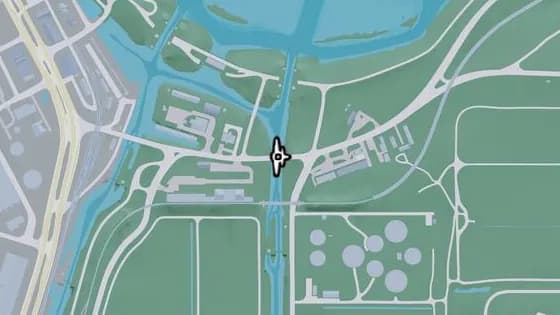
Under the Bridge: Belville Canal North
Kelly County 앰브로시아에 있는 비행 스턴트 Under the Bridge: Belville Canal North. Belville과 앰브로시아 사이, SR-27의 동쪽과 서쪽 구간을 잇는 운하 위의 다리 아래로 비행한다.
지도에서 보기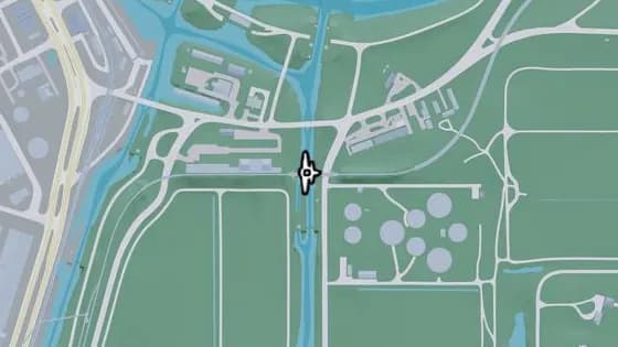
Under the Bridge: Belville Canal Railroad
Kelly County 앰브로시아에 있는 비행 스턴트 Under the Bridge: Belville Canal Railroad. Belville과 앰브로시아 사이, 운하 위의 철교 아래로 비행한다.
지도에서 보기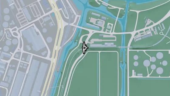
Under the Bridge: Ambrosia East Railroad North
Kelly County 앰브로시아에 있는 비행 스턴트 Under the Bridge: Ambrosia East Railroad North. 철로의 동쪽과 서쪽 구간을 잇는 SR-25 위의 다리 아래로 비행한다.
지도에서 보기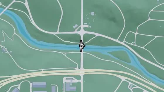
Under the Bridge: Kelly River South
Kelly County Frogswater에 있는 비행 스턴트 Under the Bridge: Kelly River South. Frogswater와 Emerald Springs 사이, SR-32의 북쪽과 남쪽 구간을 잇는 Kelly River 위의 다리 아래로 비행한다.
지도에서 보기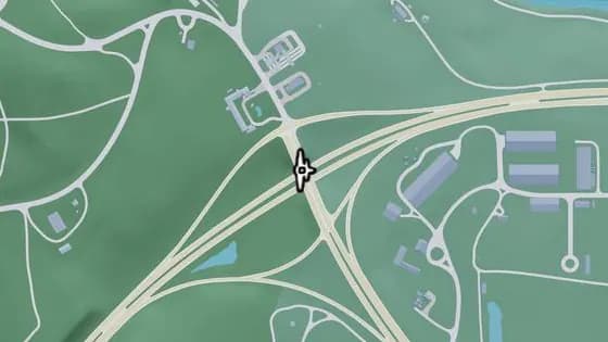
Under the Bridge: North Gellhorn Overpass
Kelly County Gellhorn에 있는 비행 스턴트 Under the Bridge: North Gellhorn Overpass. 포트 겔혼에서 US-183의 북쪽과 남쪽 구간을 잇는 CR 62 위의 다리 아래로 비행한다.
지도에서 보기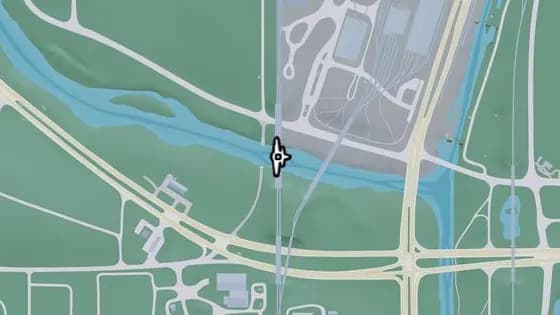
Under the Bridge: Kelly River Railroad West
Kelly County 앰브로시아에 있는 비행 스턴트 Under the Bridge: Kelly River Railroad West. 앰브로시아와 Emerald Springs 사이, Kelly River 위의 철교 아래로 비행한다.
지도에서 보기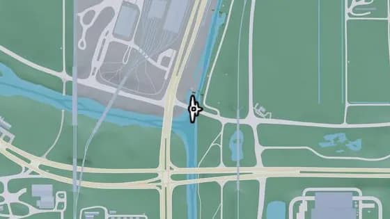
Under the Bridge: Leonida Canal North
Kelly County 앰브로시아에 있는 비행 스턴트 Under the Bridge: Leonida Canal North. 운하 위의 US-70 다리 아래로 비행한다.
지도에서 보기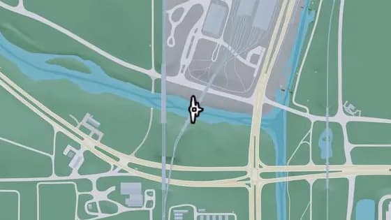
Under the Bridge: Kelly River Railroad East
Kelly County 앰브로시아에 있는 비행 스턴트 Under the Bridge: Kelly River Railroad East. 앰브로시아와 Emerald Springs 사이, Kelly River 위의 철교 아래로 비행한다.
지도에서 보기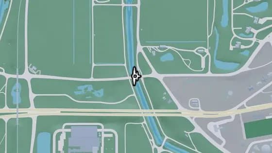
Under the Bridge: Belville Canal South
Kelly County 앰브로시아에 있는 비행 스턴트 Under the Bridge: Belville Canal South. Belville, 앰브로시아, South Leonard County가 만나는 곳에서 US-70의 동쪽과 서쪽 구간을 잇는 운하 위의 다리 아래로 비행한다.
지도에서 보기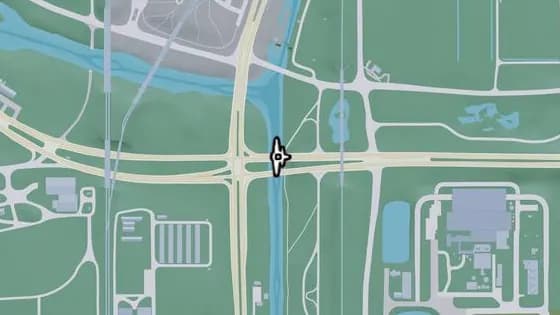
Under the Bridge: Leonida Canal
Kelly County Emerald Springs에 있는 비행 스턴트 Under the Bridge: Leonida Canal. South Leonard County와 Emerald Springs 사이, CR 62의 동쪽과 서쪽 구간을 잇는 운하 위의 다리 아래로 비행한다.
지도에서 보기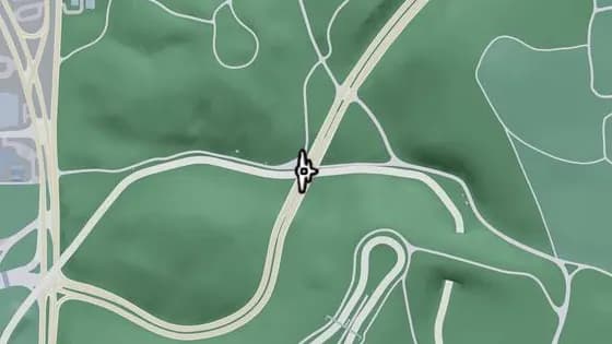
Under the Bridge: Raceway Overpass East
Kelly County Gellhorn에 있는 비행 스턴트 Under the Bridge: Raceway Overpass East. CR 62의 북쪽과 남쪽 구간을 잇는 레이스웨이 위의 다리 아래로 비행한다.
지도에서 보기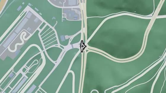
Under the Bridge: Gellhorn International Raceway
Kelly County Gellhorn에 있는 비행 스턴트 Under the Bridge: Gellhorn International Raceway. 트랙의 두 구간을 잇는, Gellhorn International Raceway 입구 위의 다리 아래로 비행한다.
지도에서 보기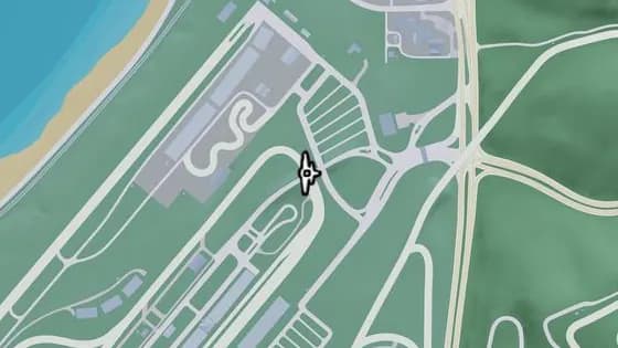
Raceway Paddock Bridge
Gellhorn International Raceway에 있는 비행 스턴트 Raceway Paddock Bridge. 레이스웨이 입구와 트랙 한가운데의 건물들을 잇는, 레이스 트랙 위의 다리 아래로 비행한다.
지도에서 보기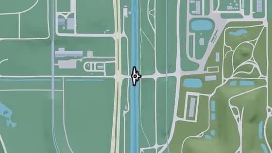
Under the Bridge: Leonida Canal South
Kelly County Emerald Springs에 있는 비행 스턴트 Under the Bridge: Leonida Canal South. South Leonard County와 Emerald Springs를 잇는 운하 위의 다리 아래로 비행한다.
지도에서 보기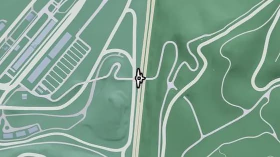
Under the Bridge: Raceway Overpass North
Kelly County Gellhorn에 있는 비행 스턴트 Under the Bridge: Raceway Overpass North. 작업 도로가 I-404 위를 지나는 다리 아래로 비행한다.
지도에서 보기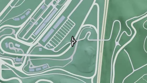
Under the Bridge: Raceway Parking
Kelly County Gellhorn에 있는 비행 스턴트 Under the Bridge: Raceway Parking. Gellhorn과 레이스웨이 주차장을 잇는, 레이스 트랙 위의 다리 아래로 비행한다.
지도에서 보기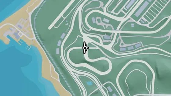
Under the Bridge: Gellhorn Rally X
Gellhorn International Raceway에 있는 비행 스턴트 Under the Bridge: Gellhorn Rally X. 랠리 코스의 두 구간을 잇는, 비포장 레이스 트랙 위의 다리 아래로 비행한다.
지도에서 보기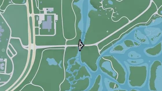
Under the Bridge: Buckskin Swamp Channels
Kelly County Emerald Springs에 있는 비행 스턴트 Under the Bridge: Buckskin Swamp Channels. Emerald Springs와 Buckskin Swamp 사이, Emerald Springs Dr가 Emerald River 위를 지나는 다리 아래로 비행한다.
지도에서 보기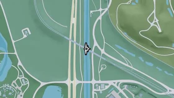
Under the Bridge: Leonida Canal Railroad
Kelly County Emerald Springs에 있는 비행 스턴트 Under the Bridge: Leonida Canal Railroad. Balsero와 Emerald Springs 사이, 철로가 운하 위를 지나는 철교 아래로 비행한다.
지도에서 보기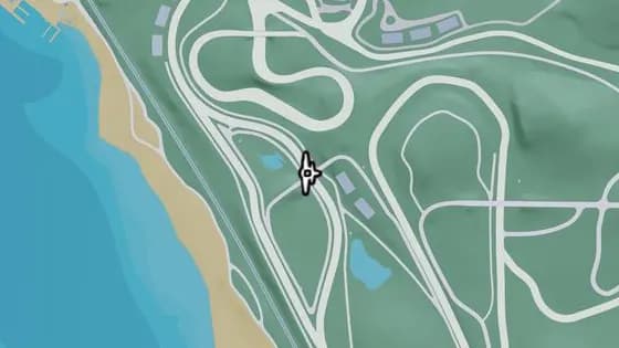
Under the Bridge: Raceway Stands
Gellhorn International Raceway에 있는 비행 스턴트 Under the Bridge: Raceway Stands. 관람석의 두 구간을 잇는, 레이스 트랙 위의 다리 아래로 비행한다.
지도에서 보기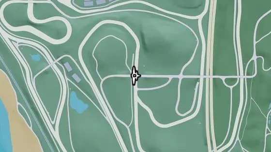
Under the Bridge: Xero Billboard
Gellhorn International Raceway에 있는 비행 스턴트 Under the Bridge: Xero Billboard. 작업 도로 두 곳을 잇는, 레이스 트랙 위의 다리 아래로 비행한다.
지도에서 보기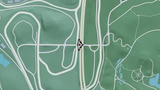
Under the Bridge: Raceway Overpass Central
Kelly County Gellhorn에 있는 비행 스턴트 Under the Bridge: Raceway Overpass Central. Gellhorn과 레이스웨이를 잇는 I-404 위의 다리 아래로 비행한다.
지도에서 보기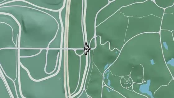
Under the Bridge: Chepalle Billboard
Kelly County Gellhorn에 있는 비행 스턴트 Under the Bridge: Chepalle Billboard. Gellhorn과 레이스웨이를 잇는, 레이스 트랙 위의 다리 아래로 비행한다.
지도에서 보기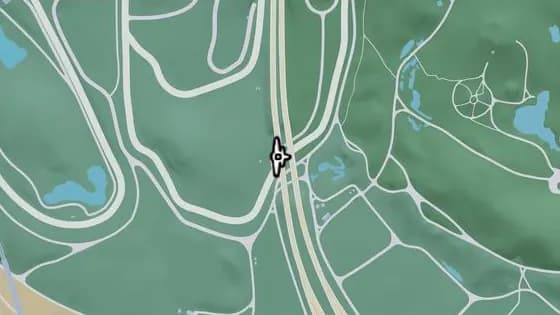
Under the Bridge: Raceway Overpass South
Kelly County Gellhorn에 있는 비행 스턴트 Under the Bridge: Raceway Overpass South. I-404가 레이스 트랙 위를 지나는 다리 아래로 비행한다.
지도에서 보기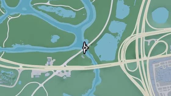
Under the Bridge: Buckskin Swamp Southeast
Kelly County Buckskin Swamp에 있는 비행 스턴트 Under the Bridge: Buckskin Swamp Southeast. Cargo Rd가 강 위를 지나는 다리 아래로 비행한다.
지도에서 보기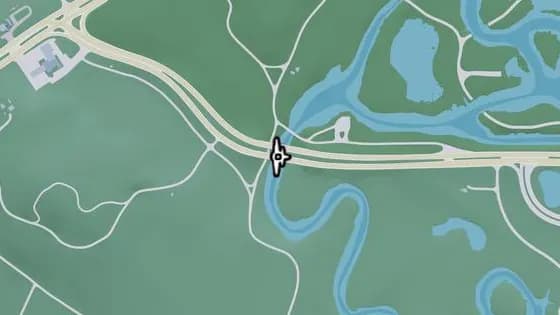
Under the Bridge: Buckskin Swamp Southwest
South Kelly County에 있는 비행 스턴트 Under the Bridge: Buckskin Swamp Southwest. South Kelly County와 Buckskin Swamp 사이, Omega Pkwy가 강 위를 지나는 다리 아래로 비행한다.
지도에서 보기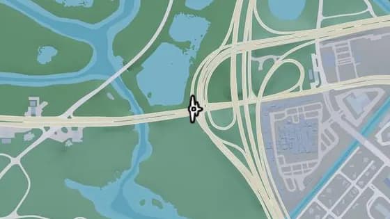
Under the Bridge: Balsero Overpass West
Kelly County Buckskin Swamp에 있는 비행 스턴트 Under the Bridge: Balsero Overpass West. Balsero와 Buckskin Swamp 사이, US-10에서 US-35로 가는 램프가 Omega Pkwy 위를 지나는 다리 아래로 비행한다.
지도에서 보기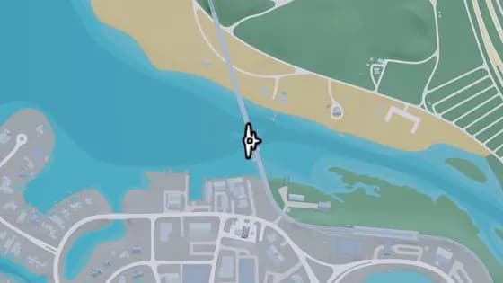
Under the Bridge: Capri Bay Railroad
South Kelly County에 있는 비행 스턴트 Under the Bridge: Capri Bay Railroad. Capri와 South Kelly County를 잇는 강 위의 다리 아래로 비행한다.
지도에서 보기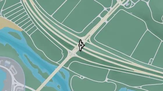
Under the Bridge: South Kelly County Overpass
South Kelly County에 있는 비행 스턴트 Under the Bridge: South Kelly County Overpass. US-183이 I-404 위를 지나는 다리 아래로 비행한다.
지도에서 보기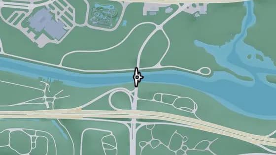
Under the Bridge: Muspachee River East
Kelly County Buckskin Swamp에 있는 비행 스턴트 Under the Bridge: Muspachee River East. Buckskin Swamp와 West Vice-Dale County를 잇는 Muspachee River 위의 다리 아래로 비행한다.
지도에서 보기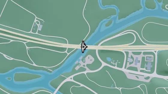
Under the Bridge: Muspachee River West
South Kelly County에 있는 비행 스턴트 Under the Bridge: Muspachee River West. West Vice-Dale County와 South Kelly County를 잇는 Muspachee River 위의 다리 아래로 비행한다.
지도에서 보기
Leonard County — 비행 스턴트35
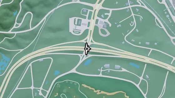
Under the Bridge: North Leonard County Overpass
North Leonard County에 있는 비행 스턴트 Under the Bridge: North Leonard County Overpass. North Leonard County와 Waning Sands 사이, I-297의 동쪽과 서쪽 구간을 잇는 US-628 위의 다리 아래로 비행한다.
지도에서 보기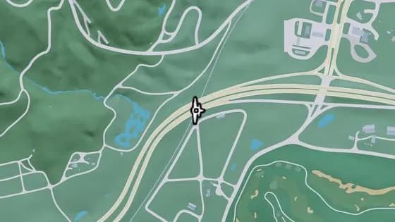
Under the Bridge: North Leonard County Railway
North Leonard County에 있는 비행 스턴트 Under the Bridge: North Leonard County Railway. I-297의 동쪽과 서쪽 구간을 잇는 철로 위의 다리 아래로 비행한다.
지도에서 보기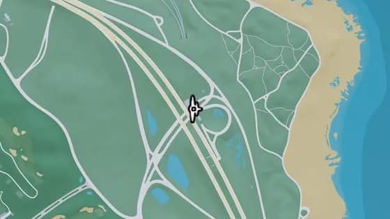
Under the Bridge: Richard Barebone Overpass East
Leonard County Richard Barebone National Park에 있는 비행 스턴트 Under the Bridge: Richard Barebone Overpass East. I-97의 북쪽과 남쪽 구간을 잇는 Pitcher Rd 위의 다리 아래로 비행한다.
지도에서 보기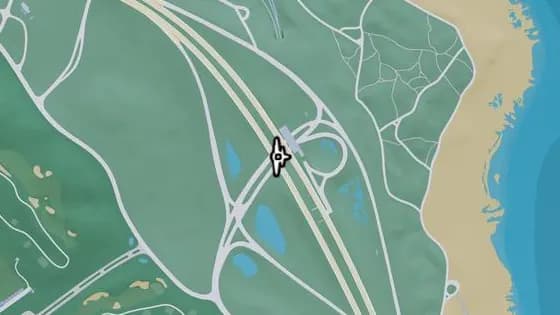
Under the Bridge: Richard Barebone Overpass West
Leonard County Richard Barebone National Park에 있는 비행 스턴트 Under the Bridge: Richard Barebone Overpass West. I-97의 북쪽과 남쪽 구간을 잇는 Pitcher Rd 위의 다리 아래로 비행한다.
지도에서 보기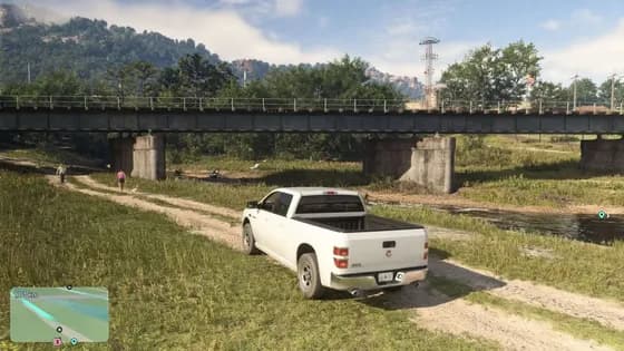
Under the Bridge: Kalaga River Railroad
North Leonard County에 있는 비행 스턴트 Under the Bridge: Kalaga River Railroad. North Kelly County와 North Leonard County 사이, Kalaga River 위의 철교 아래로 비행한다.
지도에서 보기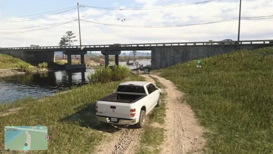
Under the Bridge: Kalaga River Mouth
North Leonard County에 있는 비행 스턴트 Under the Bridge: Kalaga River Mouth. North Kelly County와 North Leonard County 사이, SR-27의 동쪽과 서쪽 구간을 잇는 Kalaga River 위의 다리 아래로 비행한다.
지도에서 보기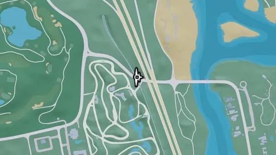
Under the Bridge: Waning Sands Railroad
Leonard County Richard Barebone National Park에 있는 비행 스턴트 Under the Bridge: Waning Sands Railroad. 철로의 북쪽과 남쪽을 잇는 Flamingo Pkwy 위의 다리 아래로 비행한다.
지도에서 보기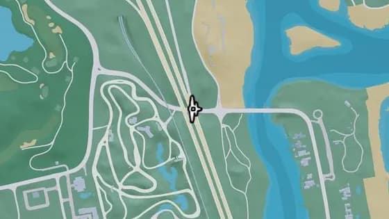
Under the Bridge: Waning Sands Overpass
Leonard County Richard Barebone National Park에 있는 비행 스턴트 Under the Bridge: Waning Sands Overpass. I-97의 북쪽과 남쪽 구간을 잇는 Flamingo Pkwy 위의 다리 아래로 비행한다.
지도에서 보기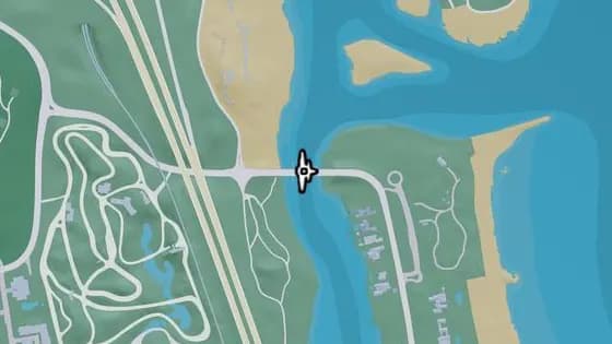
Under the Bridge: Leith River North
Richard Barebone National Park Blackrock Beach에 있는 비행 스턴트 Under the Bridge: Leith River North. Vinewood Beach와 Waning Sands를 잇는 Leith River 위의 다리 아래로 비행한다.
지도에서 보기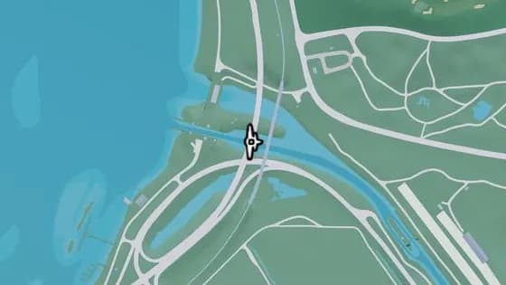
Under the Bridge: Tybee Channel North
Waning Sands Mount Hailes Country Club에 있는 비행 스턴트 Under the Bridge: Tybee Channel North. Belville과 Waning Sands를 잇는 운하 위의 다리 아래로 비행한다.
지도에서 보기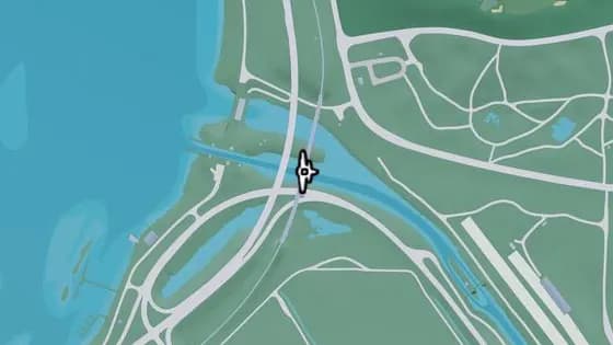
Under the Bridge: Tybee Channel Railroad North
Waning Sands Mount Hailes Country Club에 있는 비행 스턴트 Under the Bridge: Tybee Channel Railroad North. Belville과 Waning Sands를 잇는 운하 위의 다리 아래로 비행한다.
지도에서 보기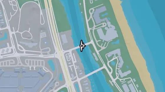
Under the Bridge: Leith River Central
Waning Sands Vinewood Beach에 있는 비행 스턴트 Under the Bridge: Leith River Central. Vinewood Beach와 Waning Sands를 잇는 Leith River 위의 다리 아래로 비행한다.
지도에서 보기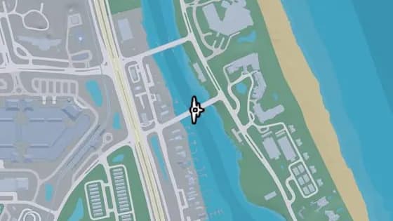
Under the Bridge: Leith River South
Waning Sands Vinewood Beach에 있는 비행 스턴트 Under the Bridge: Leith River South. Vinewood Beach와 Waning Sands를 잇는 Leith River 위의 다리 아래로 비행한다.
지도에서 보기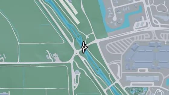
Under the Bridge: Tybee Channel Central
Leonard County Waning Sands에 있는 비행 스턴트 Under the Bridge: Tybee Channel Central. Belville과 Waning Sands를 잇는 운하 위의 다리 아래로 비행한다.
지도에서 보기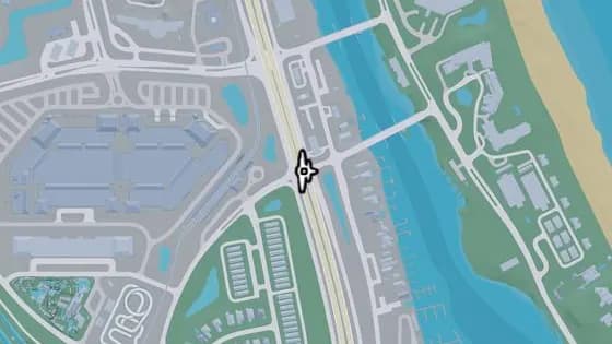
Under the Bridge: Waning Sands Central
Leonard County Waning Sands에 있는 비행 스턴트 Under the Bridge: Waning Sands Central. I-97의 북쪽과 남쪽 구간을 잇는 US-70 위의 다리 아래로 비행한다.
지도에서 보기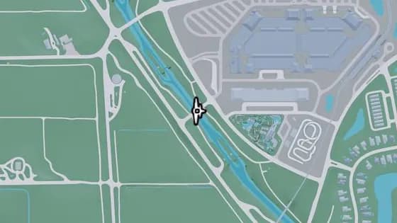
Under the Bridge: West Mall Drive
Leonard County Waning Sands에 있는 비행 스턴트 Under the Bridge: West Mall Drive. 쇼핑몰 근처, Belville과 Waning Sands를 잇는 운하 위의 다리 아래로 비행한다.
지도에서 보기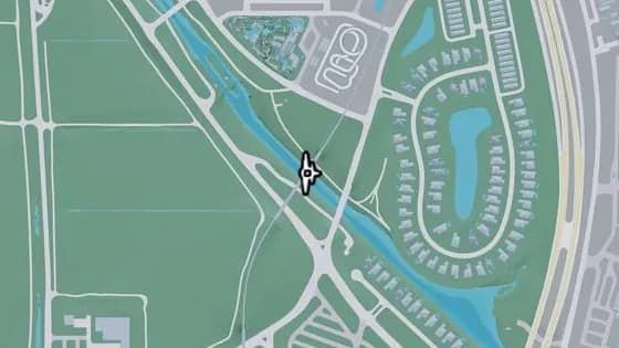
Under the Bridge: Tybee Channel Railroad South
Leonard County Waning Sands에 있는 비행 스턴트 Under the Bridge: Tybee Channel Railroad South. Belville과 Waning Sands를 잇는 운하 위의 다리 아래로 비행한다.
지도에서 보기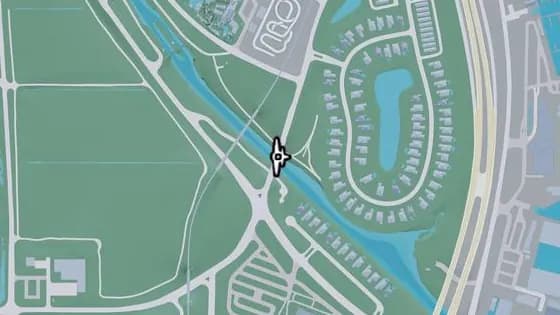
Evergreen Mall Bridge
Leonard County Waning Sands에 있는 비행 스턴트 Evergreen Mall Bridge. Belville과 Waning Sands를 잇는 운하 위의 다리 아래로 비행한다.
지도에서 보기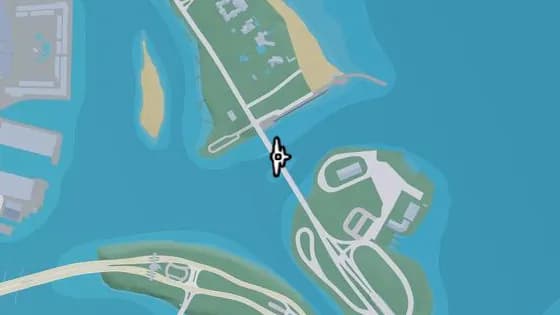
Under the Bridge: Flamingo Parkway North
Waning Sands Vinewood Beach에 있는 비행 스턴트 Under the Bridge: Flamingo Parkway North. Flamingo Island와 Vinewood Beach를 잇는 바다 위의 다리 아래로 비행한다.
지도에서 보기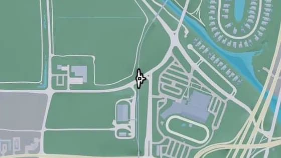
Under the Bridge: Belville North Railroad
Leonard County Belville에 있는 비행 스턴트 Under the Bridge: Belville North Railroad. 철로의 북쪽과 남쪽 구간을 잇는 US-70 위의 다리 아래로 비행한다.
지도에서 보기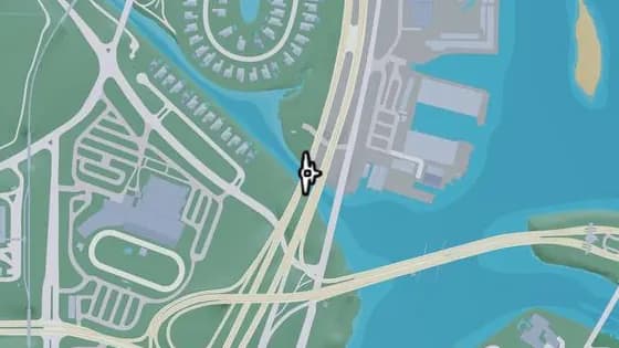
Under the Bridge: Tybee Channel South
Leonard County Waning Sands에 있는 비행 스턴트 Under the Bridge: Tybee Channel South. Belville과 Waning Sands를 잇는 운하 위의 다리 아래로 비행한다.
지도에서 보기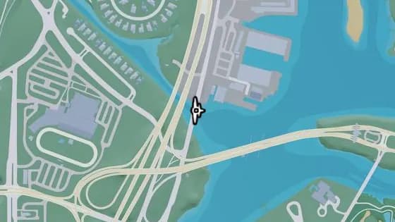
Under the Bridge: Tybee Channel Mouth East
Leonard County Waning Sands에 있는 비행 스턴트 Under the Bridge: Tybee Channel Mouth East. Belville과 Waning Sands를 잇는 운하 위의 다리 아래로 비행한다.
지도에서 보기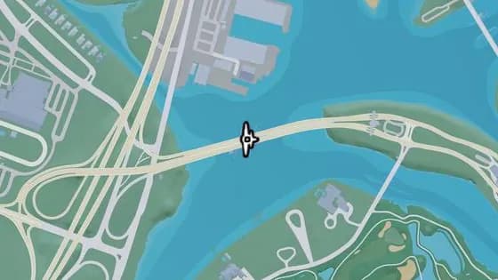
Under the Bridge: Atlantic Causeway
Leonard County Belville에 있는 비행 스턴트 Under the Bridge: Atlantic Causeway. Atlantic Island와 Belville을 잇는 강 위의 다리 아래로 비행한다.
지도에서 보기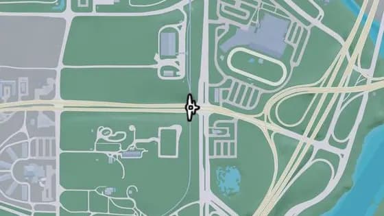
Under the Bridge: Belville East Railroad
Leonard County Belville에 있는 비행 스턴트 Under the Bridge: Belville East Railroad. 철로의 북쪽과 남쪽 구간을 잇는 CR 62 위의 다리 아래로 비행한다.
지도에서 보기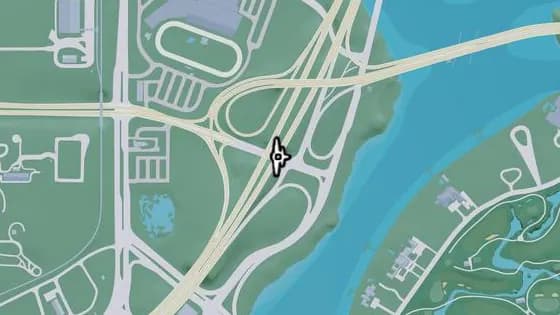
Under the Bridge: Belville East Overpass
Leonard County Belville에 있는 비행 스턴트 Under the Bridge: Belville East Overpass. I-97의 북쪽과 남쪽 구간을 잇는 CR 62 위의 다리 아래로 비행한다.
지도에서 보기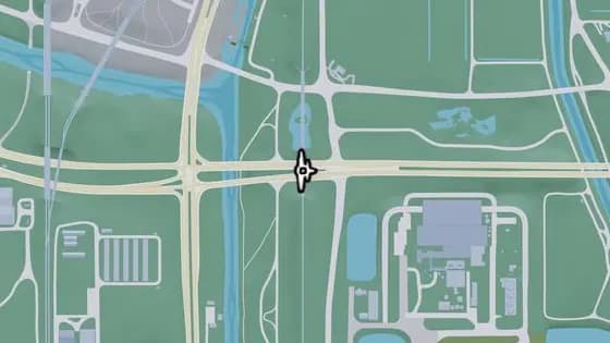
Under the Bridge: Ambrosia East Railroad South
South Leonard County에 있는 비행 스턴트 Under the Bridge: Ambrosia East Railroad South. 철로의 북쪽과 남쪽 구간을 잇는 CR 62 위의 다리 아래로 비행한다.
지도에서 보기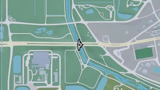
Under the Bridge: County Route 62
South Leonard County에 있는 비행 스턴트 Under the Bridge: County Route 62. South Leonard County와 Belville 사이, CR 62의 동쪽과 서쪽 구간을 잇는 운하 위의 다리 아래로 비행한다.
지도에서 보기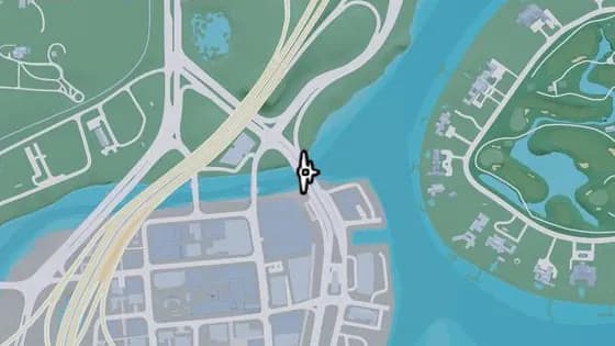
Under the Bridge: Catalan Boulevard
Leonard County Belville에 있는 비행 스턴트 Under the Bridge: Catalan Boulevard. Decor District와 Belville을 잇는 운하 위의 다리 아래로 비행한다.
지도에서 보기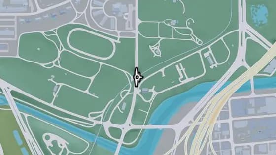
Under the Bridge: Belville Town Overpass
Leonard County Belville에 있는 비행 스턴트 Under the Bridge: Belville Town Overpass. SR-120이 철로 위를 지나는 다리 아래로 비행한다.
지도에서 보기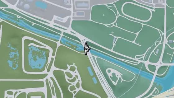
Under the Bridge: Caledonia Boulevard
Leonard County Belville에 있는 비행 스턴트 Under the Bridge: Caledonia Boulevard. South Leonard County와 Belville 사이, Caledonia Blvd가 운하 위를 지나는 다리 아래로 비행한다.
지도에서 보기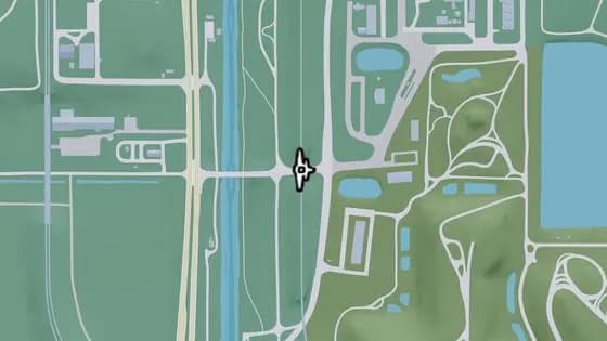
Under the Bridge: South Leonard County Railroad North
South Leonard County에 있는 비행 스턴트 Under the Bridge: South Leonard County Railroad North. 철로가 도로 위를 지나는 철교 아래로 비행한다.
지도에서 보기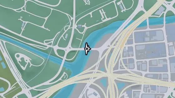
S-17 Canal Drawbridge North
Leonard County Belville에 있는 비행 스턴트 S-17 Canal Drawbridge North. Belville과 La Perle을 잇는 운하 위의 다리 아래로 비행한다.
지도에서 보기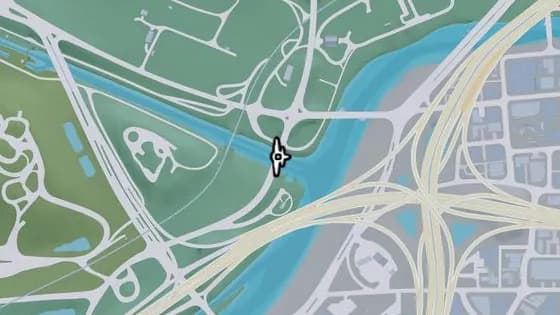
Under the Bridge: Belville Canal East
Leonard County Belville에 있는 비행 스턴트 Under the Bridge: Belville Canal East. Belville과 South Leonard County를 잇는 운하 위의 다리 아래로 비행한다.
지도에서 보기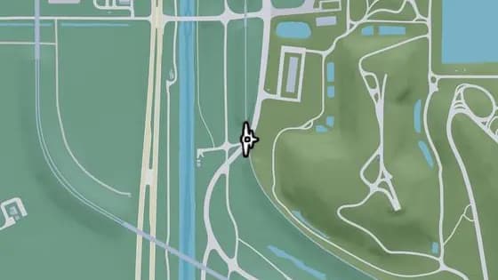
Under the Bridge: South Leonard County Railroad South
South Leonard County에 있는 비행 스턴트 Under the Bridge: South Leonard County Railroad South. 철로가 SR-25 위를 지나는 철교 아래로 비행한다.
지도에서 보기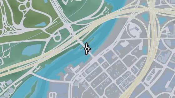
S-17 Canal Drawbridge Central
South Leonard County에 있는 비행 스턴트 S-17 Canal Drawbridge Central. South Leonard County와 La Perle을 잇는 운하 위의 다리 아래로 비행한다.
지도에서 보기
Lummox County — 비행 스턴트17
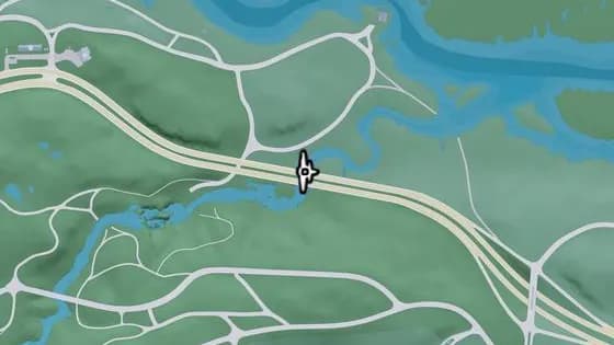
Under the Bridge: Macalister River North
East Lummox County에 있는 비행 스턴트 Under the Bridge: Macalister River North. US-628의 동쪽과 서쪽 구간을 잇는 Macalister River 위의 다리 아래로 비행한다.
지도에서 보기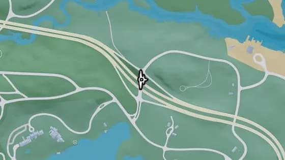
Under the Bridge: Interstate 297 Overpass
East Lummox County에 있는 비행 스턴트 Under the Bridge: Interstate 297 Overpass. Tidewater Dr의 북쪽과 남쪽 구간을 잇는 US-628 위의 다리 아래로 비행한다.
지도에서 보기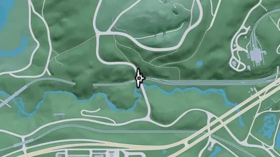
Under the Bridge: West Moreau Overpass
Moreau MacAlister Gold Mine에 있는 비행 스턴트 Under the Bridge: West Moreau Overpass. Rockledge Rd의 북쪽과 남쪽 구간을 잇는 철로 위의 다리 아래로 비행한다.
지도에서 보기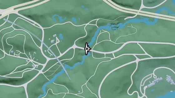
Under the Bridge: Macalister River Central
Lummox County Mount Kalaga National Park에 있는 비행 스턴트 Under the Bridge: Macalister River Central. Mount Kalaga National Park와 East Lummox County 사이, Sassafrass Rd의 동쪽과 서쪽 구간을 잇는 Macalister River 위의 다리 아래로 비행한다.
지도에서 보기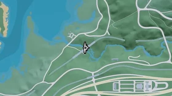
Under the Bridge: West Moreau Railroad North
Moreau MacAlister Gold Mine에 있는 비행 스턴트 Under the Bridge: West Moreau Railroad North. 철로의 북쪽과 남쪽 구간을 잇는, 강 위의 철교 아래로 비행한다.
지도에서 보기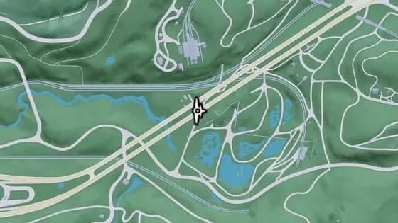
Under the Bridge: Macalister Gold Mine
Moreau MacAlister Gold Mine에 있는 비행 스턴트 Under the Bridge: Macalister Gold Mine. US-628의 동쪽과 서쪽 구간을 잇는 Macalister Gold Mine 위의 다리 아래로 비행한다.
지도에서 보기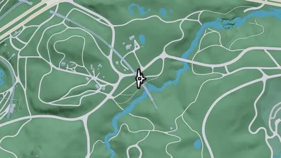
North Kalaga Bridge
Lummox County Mount Kalaga National Park에 있는 비행 스턴트 North Kalaga Bridge. Mount Kalaga National Park에서 철로의 북쪽과 남쪽 구간을 잇는, 샛길 위의 철교 아래로 비행한다.
지도에서 보기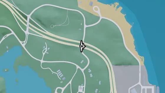
Under the Bridge: East Lummox County Overpass
East Lummox County에 있는 비행 스턴트 Under the Bridge: East Lummox County Overpass. US-628의 동쪽과 서쪽 구간을 잇는 Tidewater Dr 위의 다리 아래로 비행한다.
지도에서 보기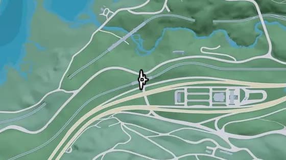
Under the Bridge: West Moreau Railroad South
South West Lummox County에 있는 비행 스턴트 Under the Bridge: West Moreau Railroad South. Moreau에서 Forest Mill Rd와 Rockledge Rd를 잇는 도로 위의 다리 아래로 비행한다.
지도에서 보기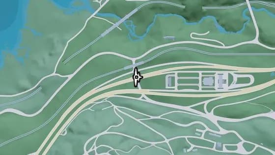
Under the Bridge: West Kalaga Overpass North
Moreau MacAlister Gold Mine에 있는 비행 스턴트 Under the Bridge: West Kalaga Overpass North. Mount Kalaga National Park에서 Forest Mill Rd와 Rockledge Rd를 잇는 도로 위의 다리 아래로 비행한다.
지도에서 보기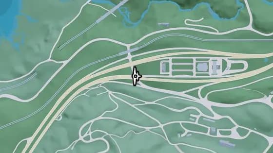
Under the Bridge: West Kalaga Overpass South
Lummox County Mount Kalaga National Park에 있는 비행 스턴트 Under the Bridge: West Kalaga Overpass South. Mount Kalaga National Park에서 Forest Mill Rd와 Rockledge Rd를 잇는 도로 위의 다리 아래로 비행한다.
지도에서 보기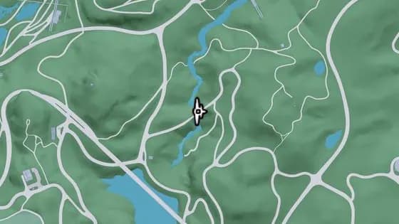
Under the Bridge: Kalaga River South
Mount Kalaga National Park Dawson Dam에 있는 비행 스턴트 Under the Bridge: Kalaga River South. East Lummox County에서 언덕길이 Kalaga River를 건너는 다리 아래로 비행한다.
지도에서 보기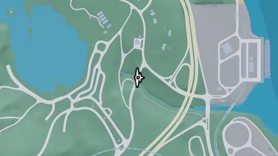
Under the Bridge: Tallaloko River
East Lummox County에 있는 비행 스턴트 Under the Bridge: Tallaloko River. Bear Hollow Dr의 북쪽과 남쪽 구간을 잇는 Tallaloko River 위의 다리 아래로 비행한다.
지도에서 보기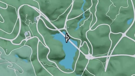
Under the Bridge: Kalaga Reservoir
Mount Kalaga National Park Dawson Dam에 있는 비행 스턴트 Under the Bridge: Kalaga Reservoir. Forest Mill Rd의 서쪽과 동쪽 구간을 잇는 Kalaga Reservoir 위의 다리 아래로 비행한다.
지도에서 보기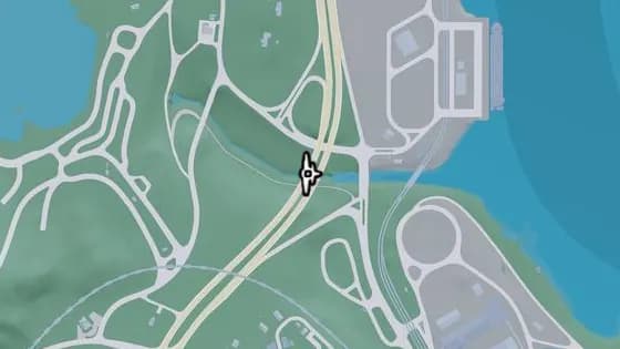
Under the Bridge: Millport Overpass
Lummox County Millport에 있는 비행 스턴트 Under the Bridge: Millport Overpass. Millport의 북부와 남부를 잇는 Tallaloko River 위의 다리 아래로 비행한다.
지도에서 보기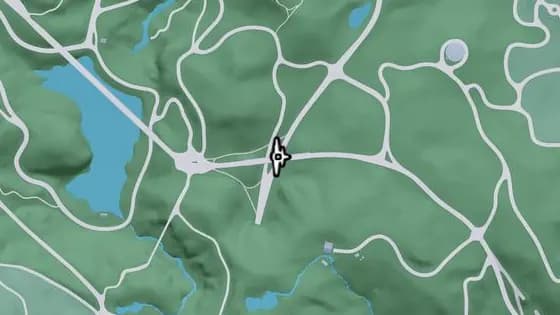
Under the Bridge: South Kalaga Overpass
Mount Kalaga National Park Dawson Dam에 있는 비행 스턴트 Under the Bridge: South Kalaga Overpass. Mount Kalaga National Park에서 Forest Mill Rd의 동쪽과 서쪽 구간을 잇는 Tallaloko Lake Rd 위의 다리 아래로 비행한다.
지도에서 보기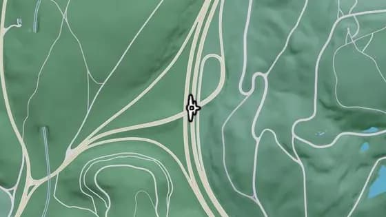
Under the Bridge: West Kalaga Overpass West
Lummox County Mount Kalaga National Park에 있는 비행 스턴트 Under the Bridge: West Kalaga Overpass West. Mount Kalaga National Park에서 US-628과 SR-73을 잇는 US-628 위의 다리 아래로 비행한다.
지도에서 보기
다른 장소 유형
- 무기
- 아뮤네이션24
 숨겨진 패키지
 수집 카드
 WAiNK
 책 교환함
 잡지
 눈에 띄는 차량
 농구 골대
 특별 플레이리스트
 벽화
 불법 거점
 은행
 페이데이 론
 Smash 'n' Grab
 장물아비
 ATM
 금고
 랜디의 위시리스트
 모제스를 위한 차량
 갱단 거점
 골프
 헬스장
 랜덤 이벤트
 나이트클럽
 레이스
 사격장
 드론 레이스
 스턴트 점프
 베이스 점프
 낚시 장소
 당구대
 오락기
 차고
 안전가옥
 주유소
 세차장
 차량 튜닝샵
 Pay 'n' Spray
 대중교통
 전기차 충전소
 버스 정류장
 차량 렌탈
 아뮤네이션
 의류점
 신발 가게
 헤어 및 뷰티
 타투샵
 전자제품 매장
 패스트푸드
 카페 및 테이크아웃
 길거리 음식
 바
 주류 판매점
 편의점
 마리나
 영화관
 도시·마을
 소방서
 병원
 랜드마크
 경찰서
이 목록은 출시 후 실제 플레이를 바탕으로 정리했습니다. 더 많은 장소가 발견될 때마다 위치와 설명을 계속 업데이트합니다. 정보